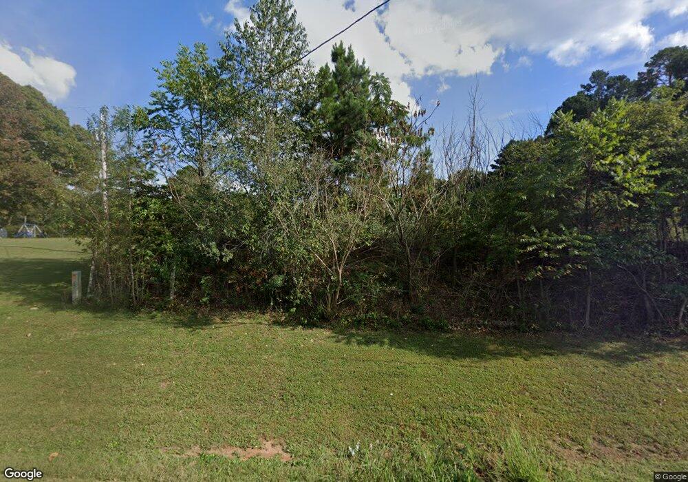
414 Highway 181 Cabool, MO 65689
Estimated Value: $198,173 - $219,000
Studio
--
Bath
1,424
Sq Ft
$146/Sq Ft
Est. Value
About This Home
This home is located at 414 Highway 181, Cabool, MO 65689 and is currently estimated at $208,587, approximately $146 per square foot. 414 Highway 181 is a home with nearby schools including Cabool Elementary School, Cabool Middle School, and Cabool High School.
Ownership History
Date
Name
Owned For
Owner Type
Purchase Details
Closed on
Nov 20, 2012
Sold by
Anderson Mark A and Anderson Jordan C
Bought by
Nipper Shericia L
Current Estimated Value
Home Financials for this Owner
Home Financials are based on the most recent Mortgage that was taken out on this home.
Original Mortgage
$117,346
Outstanding Balance
$80,913
Interest Rate
3.42%
Mortgage Type
New Conventional
Estimated Equity
$127,674
Purchase Details
Closed on
Aug 26, 2009
Sold by
Chambers Billy C and Chambers Marcia A
Bought by
Anderson Mark A and Anderson Jordan C
Home Financials for this Owner
Home Financials are based on the most recent Mortgage that was taken out on this home.
Original Mortgage
$81,057
Interest Rate
5.26%
Mortgage Type
Future Advance Clause Open End Mortgage
Create a Home Valuation Report for This Property
The Home Valuation Report is an in-depth analysis detailing your home's value as well as a comparison with similar homes in the area
Purchase History
| Date | Buyer | Sale Price | Title Company |
|---|---|---|---|
| Nipper Shericia L | -- | None Available | |
| Anderson Mark A | -- | Show Me Title |
Source: Public Records
Mortgage History
| Date | Status | Borrower | Loan Amount |
|---|---|---|---|
| Open | Nipper Shericia L | $117,346 | |
| Previous Owner | Anderson Mark A | $81,057 |
Source: Public Records
Tax History
| Year | Tax Paid | Tax Assessment Tax Assessment Total Assessment is a certain percentage of the fair market value that is determined by local assessors to be the total taxable value of land and additions on the property. | Land | Improvement |
|---|---|---|---|---|
| 2025 | $644 | $15,800 | $0 | $0 |
| 2024 | $644 | $15,800 | $0 | $0 |
| 2023 | $647 | $15,800 | $0 | $0 |
| 2022 | $597 | $14,650 | $0 | $0 |
| 2020 | $532 | $13,300 | $0 | $0 |
| 2019 | $531 | $13,300 | $0 | $0 |
| 2018 | $472 | $11,880 | $0 | $0 |
| 2017 | $470 | $11,880 | $0 | $0 |
| 2016 | $472 | $11,880 | $0 | $0 |
| 2015 | -- | $11,600 | $0 | $0 |
| 2014 | -- | $11,600 | $0 | $0 |
| 2013 | -- | $11,600 | $0 | $0 |
Source: Public Records
Map
Nearby Homes
- 000 Highway 181
- 000 Montgomery St
- 107 Dogwood
- 185 Sunshine Ave
- 183 M- Sunshine Ave
- 519 Hickory Ave
- 1223 Cedar Ave
- 523 Pine St
- 701 Garst St
- 611 Cedar Ave
- 420 Ozark St
- 13788 Beeler Rd
- 801 Patton Ave
- 12842 Highway Ad
- 416 Summit St
- 928 Patton Ave
- 13060 Highway Ee (Option 1)
- 13060 County Road Ee
- 13060 Highway Ee (Option 2)
- 13060 Highway Ee
- 444 Highway 181
- 480 Highway 181
- 441 Highway 181
- 411 Highway 181
- 411 Highway 181
- 13200 Sunrise Dr
- 13110 Sunrise Dr
- 1548 Missouri 181
- 1548 Missouri 181
- 1679 Highway 181
- 1601 Highway 181
- 596 Highway 181
- 0 Hwy 181 Unit 11306997
- 0 Hwy 181 Unit 11310523
- 13357 Russell Dr
- 13927 Highway 60
- 14549 Highway 60
- 14609 Highway 60
- 1845 Bluebird Rd
- 1604 Bluebird Rd
