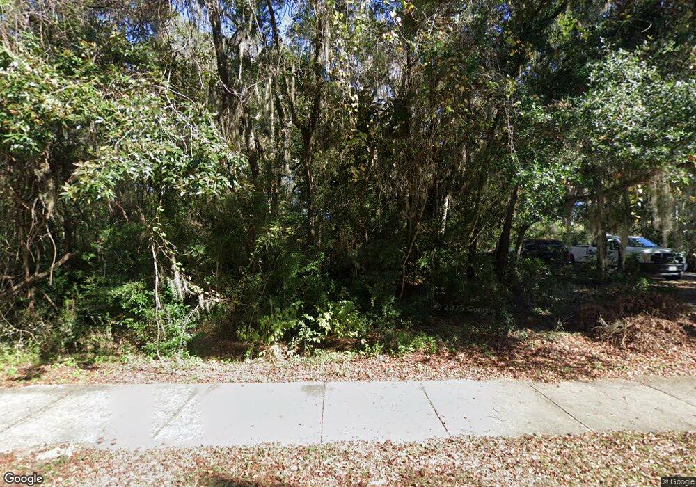
414 Mcintosh Rd Darien, GA 31305
Estimated Value: $312,000 - $448,427
--
Bed
1
Bath
2,168
Sq Ft
$185/Sq Ft
Est. Value
About This Home
This home is located at 414 Mcintosh Rd, Darien, GA 31305 and is currently estimated at $401,107, approximately $185 per square foot. 414 Mcintosh Rd is a home with nearby schools including Todd Grant Elementary School, McIntosh County Middle School, and McIntosh County Academy.
Ownership History
Date
Name
Owned For
Owner Type
Purchase Details
Closed on
Jul 9, 2025
Sold by
Myers Dortha J
Bought by
Myers Don A
Current Estimated Value
Purchase Details
Closed on
Feb 28, 2025
Sold by
Myers Dortha J
Bought by
Spinks Amy Melissa
Home Financials for this Owner
Home Financials are based on the most recent Mortgage that was taken out on this home.
Original Mortgage
$34,062
Interest Rate
6.95%
Mortgage Type
New Conventional
Purchase Details
Closed on
Dec 27, 2024
Sold by
Andersen Dianna Kay
Bought by
Myers Don A
Create a Home Valuation Report for This Property
The Home Valuation Report is an in-depth analysis detailing your home's value as well as a comparison with similar homes in the area
Home Values in the Area
Average Home Value in this Area
Purchase History
| Date | Buyer | Sale Price | Title Company |
|---|---|---|---|
| Myers Don A | -- | -- | |
| Spinks Amy Melissa | $30,000 | -- | |
| Myers Don A | -- | -- |
Source: Public Records
Mortgage History
| Date | Status | Borrower | Loan Amount |
|---|---|---|---|
| Previous Owner | Spinks Amy Melissa | $34,062 |
Source: Public Records
Tax History Compared to Growth
Tax History
| Year | Tax Paid | Tax Assessment Tax Assessment Total Assessment is a certain percentage of the fair market value that is determined by local assessors to be the total taxable value of land and additions on the property. | Land | Improvement |
|---|---|---|---|---|
| 2024 | $4,398 | $153,032 | $64,040 | $88,992 |
| 2023 | $819 | $149,632 | $62,960 | $86,672 |
| 2022 | $819 | $135,712 | $62,440 | $73,272 |
| 2021 | $819 | $118,872 | $62,440 | $56,432 |
| 2020 | $819 | $117,804 | $62,440 | $55,364 |
| 2019 | $821 | $116,444 | $62,440 | $54,004 |
| 2018 | $3,094 | $116,444 | $62,440 | $54,004 |
| 2017 | $3,377 | $112,844 | $62,440 | $50,404 |
| 2016 | $821 | $112,844 | $62,440 | $50,404 |
| 2015 | $795 | $105,540 | $60,255 | $45,286 |
| 2014 | $799 | $110,344 | $65,058 | $45,286 |
Source: Public Records
Map
Nearby Homes
- Lot 30 Black Island Rd
- LOT 28 Black Island Rd
- 1103 E Broad St
- 612 Kellsie Cir
- 616 Kellsie Cir
- 19 Black Island Rd
- 800 Wayne St
- 700 Fort King George Dr
- 711 Nevada St
- 401 Owens Dr
- Lot 5 Black
- 410 Munro St
- 1001 Poppell Dr
- 417 Fort King George Dr
- 309 Haven Dr
- 1658 Ashantilly Dr
- 1131 Bond Rd SE
- 227 Fort King George Dr Unit G
- 227 Fort King George Dr Unit K
- 1202 Market St
- 404 Mcintosh Rd
- 400 Mcintosh Rd
- 123 Mcintosh Trail
- 0 Mcintosh Rd Unit 8722157
- 0 Mcintosh Rd
- Tract 2 S/S McIntosh Rd Rd
- 465 Mcintosh Rd
- 1373 S Black Island Rd SE
- 1003 W Black Island Rd SE
- 501 Mcintosh Rd
- 12 Black Island Rd E
- 928 Black Island Rd
- LOT D Black Island W
- LOT E Black Island W
- LOT F Black Island W
- 5 Black Island Dr
- 000 Black Island Rd
- E Black Island Rd
- 1213 W Black Island Rd SE
- 30 Black Island Dr
