Estimated Value: $334,006 - $373,000
4
Beds
2
Baths
2,285
Sq Ft
$154/Sq Ft
Est. Value
About This Home
This home is located at 414 N Lewis Ct, Nixa, MO 65714 and is currently estimated at $352,752, approximately $154 per square foot. 414 N Lewis Ct is a home located in Christian County with nearby schools including P.S. 40 Samuel Huntington, Espy Elementary School, and Queens Gateway to Health Sciences Secondary School.
Ownership History
Date
Name
Owned For
Owner Type
Purchase Details
Closed on
Nov 12, 2010
Sold by
Bussell Building Inc
Bought by
Clark Ronald A and Clark Kimberly A
Current Estimated Value
Home Financials for this Owner
Home Financials are based on the most recent Mortgage that was taken out on this home.
Original Mortgage
$212,670
Outstanding Balance
$140,173
Interest Rate
4.25%
Mortgage Type
FHA
Estimated Equity
$212,579
Purchase Details
Closed on
Aug 3, 2010
Sold by
Souter Faye H
Bought by
Bussell Building Inc
Create a Home Valuation Report for This Property
The Home Valuation Report is an in-depth analysis detailing your home's value as well as a comparison with similar homes in the area
Home Values in the Area
Average Home Value in this Area
Purchase History
| Date | Buyer | Sale Price | Title Company |
|---|---|---|---|
| Clark Ronald A | -- | Fidelity Title Agency | |
| Bussell Building Inc | -- | None Available |
Source: Public Records
Mortgage History
| Date | Status | Borrower | Loan Amount |
|---|---|---|---|
| Open | Clark Ronald A | $212,670 |
Source: Public Records
Tax History Compared to Growth
Tax History
| Year | Tax Paid | Tax Assessment Tax Assessment Total Assessment is a certain percentage of the fair market value that is determined by local assessors to be the total taxable value of land and additions on the property. | Land | Improvement |
|---|---|---|---|---|
| 2024 | $2,297 | $36,860 | -- | -- |
| 2023 | $2,297 | $36,860 | $0 | $0 |
| 2022 | $2,200 | $35,250 | $0 | $0 |
| 2021 | $2,201 | $35,250 | $0 | $0 |
| 2020 | $2,113 | $32,300 | $0 | $0 |
| 2019 | $2,113 | $32,300 | $0 | $0 |
| 2018 | $1,689 | $27,720 | $0 | $0 |
| 2017 | $1,689 | $27,720 | $0 | $0 |
| 2016 | $1,663 | $27,720 | $0 | $0 |
| 2015 | $1,665 | $27,720 | $27,720 | $0 |
| 2014 | $1,628 | $27,780 | $0 | $0 |
| 2013 | $16 | $27,780 | $0 | $0 |
| 2011 | $16 | $55,560 | $0 | $0 |
Source: Public Records
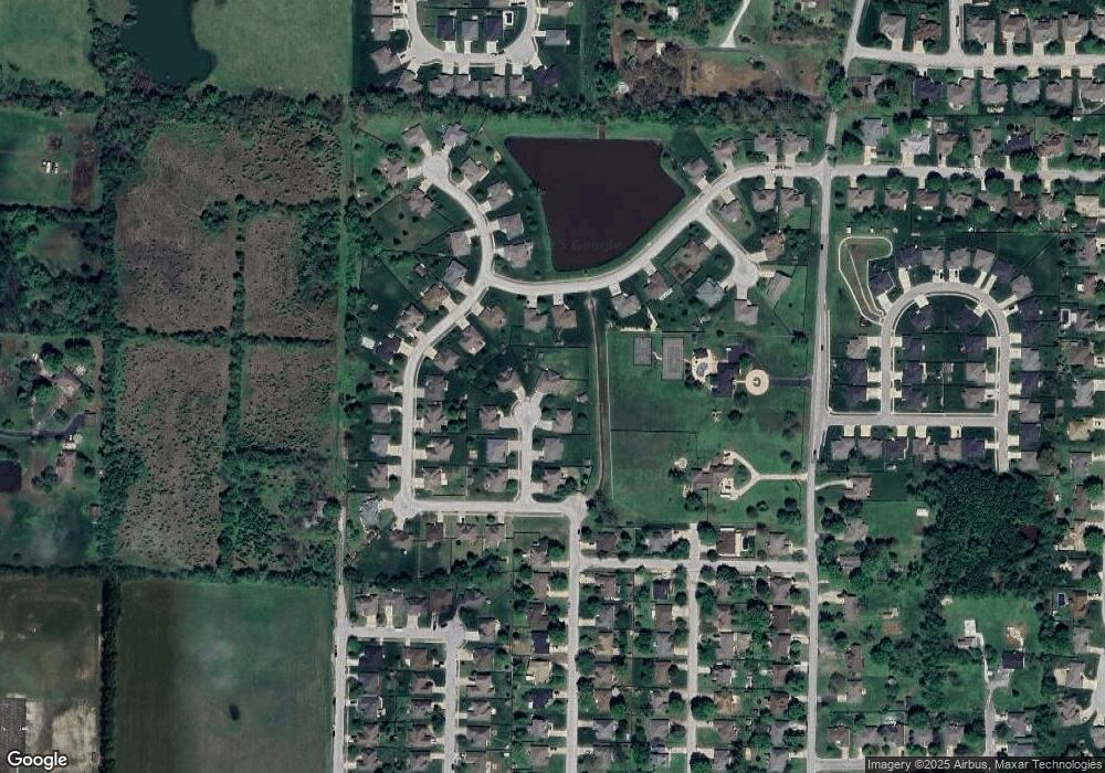
Map
Nearby Homes
- 415 N Lewis Ct
- 305 Meadow St
- 304 N Bonda Way
- 1001 W Bryce Ln
- 502 Osage Dr
- 1334 W Mount Vernon St
- 907 Denali Dr
- 806 Honeysuckle Ln
- 709 N Milton Dr
- 717 N Milton Dr
- 609 N Elderberry Ln
- 613 N Baywood Dr
- 705 N Baywood Dr
- 711 N Baywood Dr
- 707 N Baywood Dr
- 144 Cedar Heights Dr
- 1216 W Verna Ln
- 601 S Gregg Rd
- 403 S Bryant St
- 848 S Somerset Dr
- 412 N Lewis Ct
- 410 N Lewis Ct
- 1210 Bryce St
- 413 N Lewis Ct
- 1208 W Bryce Ln
- 1210 W Bryce Ln
- 1210 Bryce Ln
- 411 N Lewis Ct
- 1208 Bryce St
- 0 N Lewis Ct Unit 11001401
- 0 N Lewis Ct
- 0 N Lewis Ct
- 0 N Lewis Ct
- 408 N Lewis Ct
- 420 N Bonda Way
- 422 N Bonda Way
- 409 N Lewis Ct
- 418 N Bonda Way
- 416 N Bonda Way
- 1120 W Bryce Ln