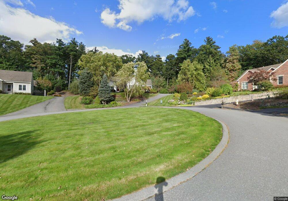
414 Nicholas Dr Lancaster, MA 01523
Estimated Value: $675,000 - $785,000
2
Beds
3
Baths
2,152
Sq Ft
$339/Sq Ft
Est. Value
About This Home
This home is located at 414 Nicholas Dr, Lancaster, MA 01523 and is currently estimated at $728,733, approximately $338 per square foot. 414 Nicholas Dr is a home located in Worcester County with nearby schools including Mary Rowlandson Elementary School, Luther Burbank Middle School, and Nashoba Regional High School.
Ownership History
Date
Name
Owned For
Owner Type
Purchase Details
Closed on
Aug 30, 2023
Sold by
Naughton Martha J
Bought by
414 Nicholas Drive Rt and Naughton
Current Estimated Value
Purchase Details
Closed on
Dec 3, 2019
Sold by
Naughton John E and Naughton Martha J
Bought by
Naughton Martha J
Purchase Details
Closed on
Dec 15, 2004
Sold by
Eagle Ests Llc
Bought by
Naughton John E and Naughton Martha J
Create a Home Valuation Report for This Property
The Home Valuation Report is an in-depth analysis detailing your home's value as well as a comparison with similar homes in the area
Home Values in the Area
Average Home Value in this Area
Purchase History
| Date | Buyer | Sale Price | Title Company |
|---|---|---|---|
| 414 Nicholas Drive Rt | -- | None Available | |
| Naughton Martha J | -- | None Available | |
| Naughton John E | $419,900 | -- |
Source: Public Records
Tax History Compared to Growth
Tax History
| Year | Tax Paid | Tax Assessment Tax Assessment Total Assessment is a certain percentage of the fair market value that is determined by local assessors to be the total taxable value of land and additions on the property. | Land | Improvement |
|---|---|---|---|---|
| 2025 | $10,564 | $653,700 | $67,900 | $585,800 |
| 2024 | $10,769 | $616,800 | $54,500 | $562,300 |
| 2023 | $9,960 | $579,400 | $50,400 | $529,000 |
| 2022 | $9,818 | $504,800 | $85,200 | $419,600 |
| 2021 | $9,463 | $473,600 | $85,200 | $388,400 |
| 2020 | $9,085 | $457,700 | $66,400 | $391,300 |
| 2019 | $8,623 | $436,600 | $95,700 | $340,900 |
| 2018 | $7,734 | $387,100 | $95,700 | $291,400 |
| 2016 | $7,757 | $396,800 | $139,600 | $257,200 |
| 2015 | $7,376 | $393,200 | $139,600 | $253,600 |
| 2014 | $7,297 | $385,900 | $139,600 | $246,300 |
Source: Public Records
Map
Nearby Homes
- 1116 George Hill Rd
- 0 Brockelman Rd Unit 73424117
- 85 Prescott St
- 54 S Meadow Rd
- 290 Sterling St
- 23 Bennett Ln
- 765 Brockelman Road Lot C
- 29 Bennett Ln
- 0 Parker Rd
- 92 Mill St
- 96 Clinton Rd
- 19 Magnolia Ave
- 136 Mill St
- 121 &125 Flanagan Hill Rd
- 132 Kilbourn Rd
- 76 Sterling St
- 20 Willow St
- 17 Turtle Ln Unit 17
- 22 Forest Ave
- 453 Blue Heron Dr Unit 453
- 408 Nicholas Dr
- 420 Nicholas Dr
- 420 Nicholas Dr (Lot 67)
- 53 Hawthorne Ln Unit Lot 8
- 398 Nicholas Dr
- 397 Nicholas Dr
- 387 Nicholas Dr
- 51 Hawthorne Ln Unit Lot 7
- 390 Nicholas Dr
- 375 Nicholas Dr
- 365 Nicholas Dr
- 49 Hawthorne Ln Unit Lot 6
- 372 Nicholas Dr
- 357 Nicholas Dr
- 62 Hawthorne Ln Unit Lot 9
- 58 Hawthorne Ln Unit Lot 11
- 60 Hawthorne Ln Unit Lot 10
- 56 Hawthorne Ln
- 122 Hilltop Rd
- 349 Nicholas Dr