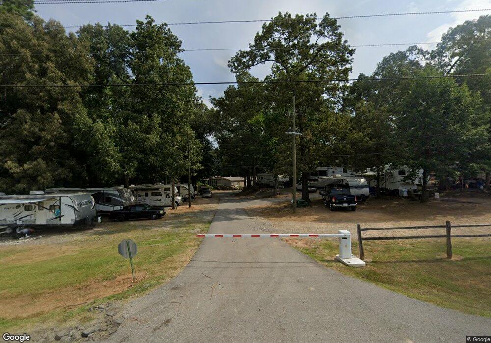
414 S Frontage Rd Forsyth, GA 31029
Estimated Value: $411,000 - $6,409,062
1
Bed
1
Bath
156
Sq Ft
$19,457/Sq Ft
Est. Value
About This Home
This home is located at 414 S Frontage Rd, Forsyth, GA 31029 and is currently estimated at $3,035,354, approximately $19,457 per square foot. 414 S Frontage Rd is a home located in Monroe County with nearby schools including Katherine B. Sutton Elementary School and Mary Persons High School.
Ownership History
Date
Name
Owned For
Owner Type
Purchase Details
Closed on
Oct 31, 2023
Sold by
Forsyth Campground Llc
Bought by
Metro Rv Forsyth Llc
Current Estimated Value
Purchase Details
Closed on
Jun 2, 2022
Sold by
Corp Of Mercer University
Bought by
Forsyth Campground Llc
Home Financials for this Owner
Home Financials are based on the most recent Mortgage that was taken out on this home.
Original Mortgage
$1,600,000
Interest Rate
5.27%
Mortgage Type
Mortgage Modification
Purchase Details
Closed on
Jan 1, 1901
Bought by
Forsyth Koa-Ken Bowman
Create a Home Valuation Report for This Property
The Home Valuation Report is an in-depth analysis detailing your home's value as well as a comparison with similar homes in the area
Home Values in the Area
Average Home Value in this Area
Purchase History
| Date | Buyer | Sale Price | Title Company |
|---|---|---|---|
| Metro Rv Forsyth Llc | $6,074,805 | -- | |
| Forsyth Campground Llc | $1,600,000 | -- | |
| Forsyth Koa-Ken Bowman | -- | -- |
Source: Public Records
Mortgage History
| Date | Status | Borrower | Loan Amount |
|---|---|---|---|
| Previous Owner | Forsyth Campground Llc | $1,600,000 |
Source: Public Records
Tax History Compared to Growth
Tax History
| Year | Tax Paid | Tax Assessment Tax Assessment Total Assessment is a certain percentage of the fair market value that is determined by local assessors to be the total taxable value of land and additions on the property. | Land | Improvement |
|---|---|---|---|---|
| 2024 | $11,230 | $372,456 | $132,480 | $239,976 |
| 2023 | $10,807 | $367,416 | $132,480 | $234,936 |
| 2022 | $10,972 | $371,016 | $132,480 | $238,536 |
| 2021 | $11,326 | $371,016 | $132,480 | $238,536 |
| 2020 | $11,773 | $371,016 | $132,480 | $238,536 |
| 2019 | $11,858 | $371,016 | $132,480 | $238,536 |
| 2018 | $11,890 | $371,016 | $132,480 | $238,536 |
| 2017 | $11,897 | $371,016 | $132,480 | $238,536 |
| 2016 | $11,365 | $371,016 | $132,480 | $238,536 |
| 2015 | $10,833 | $371,016 | $132,480 | $238,536 |
| 2014 | $10,323 | $358,776 | $132,480 | $226,296 |
Source: Public Records
Map
Nearby Homes
- 4580 Capulet Ct
- 0 Patrol Rd Unit 10473001
- 285 E Main St
- 205 Solomon St
- Cypress Plan at Juliette Crossing
- Jackson Plan at Juliette Crossing
- Cannaberra Plan at Juliette Crossing
- Oakwood Plan at Juliette Crossing
- Delilah Plan at Juliette Crossing
- Maple Plan at Juliette Crossing
- Hawthorne Plan at Juliette Crossing
- Harrison Plan at Juliette Crossing
- Camden Plan at Juliette Crossing
- Ash II Plan at Juliette Crossing
- Belmont Plan at Juliette Crossing
- Dogwood Plan at Juliette Crossing
- Aspen Plan at Juliette Crossing
- 4616 Capulet Ct
- 436 Magnolia Ct
- 5387 Felles Way
- 460 Johnson Ln
- 2023 Camberle
- 0 Victorian Blvd Unit Homesite 138 161085
- 0 Victorian Blvd Unit Homesite 139 161132
- 0 Victorian Blvd Unit 215332
- 0 Victorian Blvd Unit Homesite 139 M161132
- 0 Victorian Blvd Unit 139 9009202
- 0 Victorian Blvd Unit 214145
- 0 Victorian Blvd Unit Homesite 138 M161085
- Lot 386 Tybalt Run
- 4579 Capulet Ct Unit 318
- 4592 Capulet Ct Unit 312
- 4592 Capulet Ct
- 4580 Capulet Ct Unit 314
- 4421 Mercutio Rest Unit 351
- 4601 Capulet Ct Unit 323
- 0 Beverly St Unit 7341347
- 0 Beverly St Unit M127326
- 2020 Camberee Ct
- 0 Johnson Ln Unit 3270380