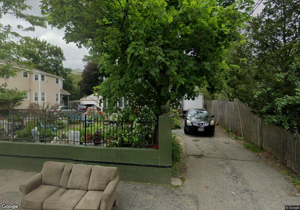
414 Whiting Ave Dedham, MA 02026
Oakdale NeighborhoodEstimated Value: $787,000 - $903,000
5
Beds
4
Baths
2,092
Sq Ft
$404/Sq Ft
Est. Value
About This Home
This home is located at 414 Whiting Ave, Dedham, MA 02026 and is currently estimated at $845,958, approximately $404 per square foot. 414 Whiting Ave is a home located in Norfolk County with nearby schools including Avery, Dedham Middle School, and Dedham High School.
Ownership History
Date
Name
Owned For
Owner Type
Purchase Details
Closed on
Dec 28, 2021
Sold by
Brown Rhonda and Brown Shirleen
Bought by
Brown Rhonda
Current Estimated Value
Home Financials for this Owner
Home Financials are based on the most recent Mortgage that was taken out on this home.
Original Mortgage
$264,550
Outstanding Balance
$244,165
Interest Rate
3.22%
Mortgage Type
FHA
Estimated Equity
$601,793
Purchase Details
Closed on
Jun 11, 2020
Sold by
Brown Shirleen
Bought by
Brown Shirleen and Brown Rhonda
Purchase Details
Closed on
Jan 10, 2011
Sold by
Kelly Gerald
Bought by
Brown Shirleen
Home Financials for this Owner
Home Financials are based on the most recent Mortgage that was taken out on this home.
Original Mortgage
$281,673
Interest Rate
4.75%
Mortgage Type
FHA
Purchase Details
Closed on
May 28, 2009
Sold by
Deutsche Bank Natl T C
Bought by
Kelly Gerald J
Home Financials for this Owner
Home Financials are based on the most recent Mortgage that was taken out on this home.
Original Mortgage
$223,000
Interest Rate
4.87%
Mortgage Type
Purchase Money Mortgage
Purchase Details
Closed on
Mar 18, 2009
Sold by
Lendy Jerome
Bought by
Deutsche Bank Natl T C
Purchase Details
Closed on
Jan 3, 2006
Sold by
Jerome Beauvoir and Beauvoir Jerome
Bought by
Jerome Lendy
Purchase Details
Closed on
May 6, 2004
Sold by
Barros Dana
Bought by
Beauvoir Jerome
Purchase Details
Closed on
Jan 10, 2003
Sold by
Hadayia Glenn
Bought by
Barros Dana
Purchase Details
Closed on
Mar 29, 2001
Sold by
Sherwood Christopher B
Bought by
Hadayia Glenn
Purchase Details
Closed on
Dec 21, 2000
Sold by
Keaveny Agnes J
Bought by
Sherwood Christopher B
Create a Home Valuation Report for This Property
The Home Valuation Report is an in-depth analysis detailing your home's value as well as a comparison with similar homes in the area
Home Values in the Area
Average Home Value in this Area
Purchase History
| Date | Buyer | Sale Price | Title Company |
|---|---|---|---|
| Brown Rhonda | -- | None Available | |
| Brown Rhonda | -- | None Available | |
| Brown Shirleen | -- | None Available | |
| Brown Shirleen | -- | None Available | |
| Brown Shirleen | $289,000 | -- | |
| Kelly Gerald J | $214,000 | -- | |
| Deutsche Bank Natl T C | $451,050 | -- | |
| Jerome Lendy | $550,000 | -- | |
| Beauvoir Jerome | $420,000 | -- | |
| Barros Dana | $389,000 | -- | |
| Brown Shirleen | $289,000 | -- | |
| Kelly Gerald J | $214,000 | -- | |
| Deutsche Bank Natl T C | $451,050 | -- | |
| Jerome Lendy | $550,000 | -- | |
| Beauvoir Jerome | $420,000 | -- | |
| Barros Dana | $389,000 | -- | |
| Hadayia Glenn | $285,000 | -- | |
| Sherwood Christopher B | $241,000 | -- |
Source: Public Records
Mortgage History
| Date | Status | Borrower | Loan Amount |
|---|---|---|---|
| Open | Brown Rhonda | $264,550 | |
| Closed | Brown Rhonda | $264,550 | |
| Previous Owner | Brown Shirleen | $281,673 | |
| Previous Owner | Kelly Gerald J | $223,000 |
Source: Public Records
Tax History
| Year | Tax Paid | Tax Assessment Tax Assessment Total Assessment is a certain percentage of the fair market value that is determined by local assessors to be the total taxable value of land and additions on the property. | Land | Improvement |
|---|---|---|---|---|
| 2025 | $9,667 | $766,000 | $312,500 | $453,500 |
| 2024 | $9,065 | $725,200 | $283,500 | $441,700 |
| 2023 | $8,842 | $688,600 | $256,700 | $431,900 |
| 2022 | $8,240 | $617,200 | $241,000 | $376,200 |
| 2021 | $7,436 | $544,000 | $223,200 | $320,800 |
| 2020 | $7,428 | $541,400 | $223,200 | $318,200 |
| 2019 | $7,149 | $505,200 | $194,100 | $311,100 |
| 2018 | $7,178 | $493,300 | $172,700 | $320,600 |
| 2017 | $6,908 | $468,000 | $161,700 | $306,300 |
| 2016 | $6,842 | $441,700 | $149,700 | $292,000 |
| 2015 | $6,402 | $403,400 | $140,300 | $263,100 |
| 2014 | $6,210 | $386,200 | $137,800 | $248,400 |
Source: Public Records
Map
Nearby Homes
- 12 Blossom St
- 22 N Stone Mill Dr Unit 1111
- 7 S Stone Mill Dr Unit 412
- 7 S Stone Mill Dr Unit 403
- 98 Cedar St Unit 2
- 5 Lewis Farm Rd
- 73 Walnut St
- 1905 River St Unit 1905
- 68 Reed St
- 1896 River St
- 1892 River St
- 45 Circuit Rd
- 30 High St ( Cass St Entrance) Unit 209
- 38 Fleming St
- 90 High St Unit 309
- 1864 River St
- 108 High St
- 72 Crane St
- 19 Lewis Ln
- 13 W Milton Place
- 410 Whiting Ave
- 418 Whiting Ave
- 143 River St Unit 1
- 403 Whiting Ave
- 408 Whiting Ave
- 431 Whiting Ave
- 144 River St
- 144 River St Unit 144
- 144 River St Unit 1
- 405 Whiting Ave
- 405 Whiting Ave
- 126 River St
- 138 River St
- 397 Whiting Ave
- 397 Whiting Ave Unit 1
- 397 Whiting Ave Unit 2
- 401 Whiting Ave Unit 1
- 401 Whiting Ave Unit 2
- 155 River St
- 146 River St
Your Personal Tour Guide
Ask me questions while you tour the home.