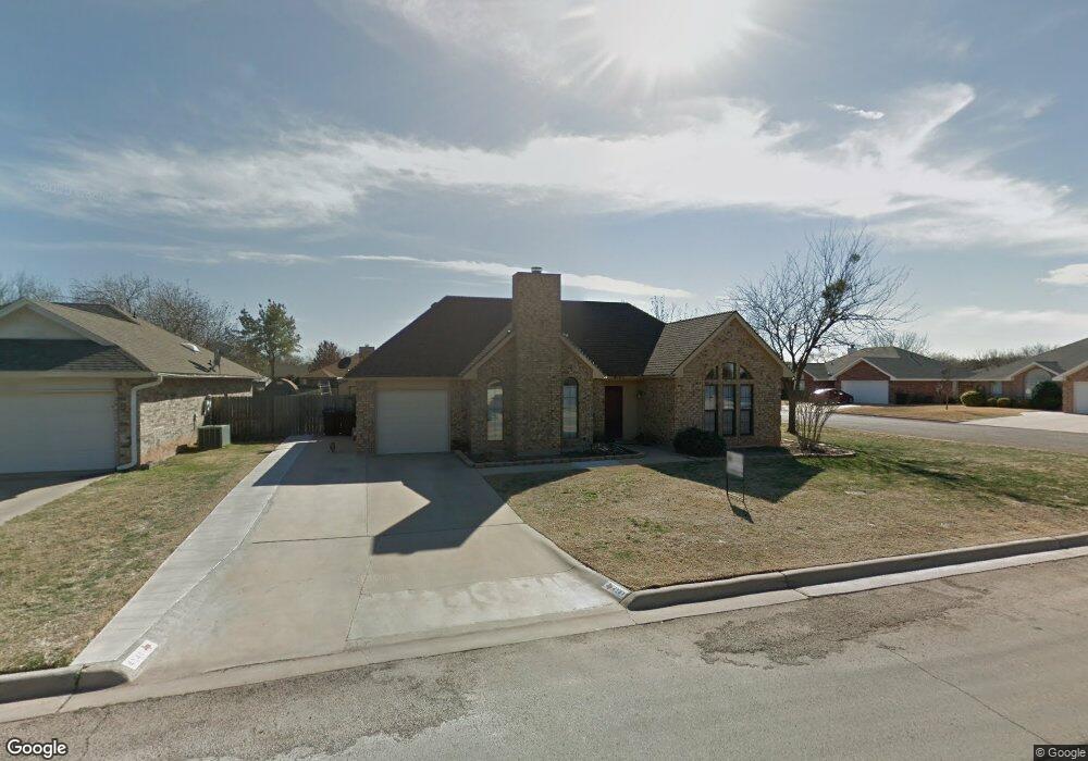
4141 Karen Dr Abilene, TX 79606
Far Southside NeighborhoodEstimated Value: $174,000 - $221,000
2
Beds
2
Baths
995
Sq Ft
$190/Sq Ft
Est. Value
About This Home
This home is located at 4141 Karen Dr, Abilene, TX 79606 and is currently estimated at $189,535, approximately $190 per square foot. 4141 Karen Dr is a home located in Taylor County with nearby schools including Wylie West Early Childhood Center, Wylie West Intermediate School, and Wylie West Elementary School.
Ownership History
Date
Name
Owned For
Owner Type
Purchase Details
Closed on
Sep 21, 2012
Sold by
Brown Diana Carole
Bought by
Lanier Properties Llc
Current Estimated Value
Home Financials for this Owner
Home Financials are based on the most recent Mortgage that was taken out on this home.
Original Mortgage
$75,600
Outstanding Balance
$52,435
Interest Rate
3.62%
Mortgage Type
Purchase Money Mortgage
Estimated Equity
$137,100
Purchase Details
Closed on
Apr 25, 2012
Sold by
Morrison & Hallmark Lp
Bought by
Bagwill Audra J and Brown Daian C
Home Financials for this Owner
Home Financials are based on the most recent Mortgage that was taken out on this home.
Original Mortgage
$85,000
Interest Rate
3.97%
Mortgage Type
Purchase Money Mortgage
Create a Home Valuation Report for This Property
The Home Valuation Report is an in-depth analysis detailing your home's value as well as a comparison with similar homes in the area
Home Values in the Area
Average Home Value in this Area
Purchase History
| Date | Buyer | Sale Price | Title Company |
|---|---|---|---|
| Lanier Properties Llc | -- | None Available | |
| Bagwill Audra J | -- | None Available |
Source: Public Records
Mortgage History
| Date | Status | Borrower | Loan Amount |
|---|---|---|---|
| Open | Lanier Properties Llc | $75,600 | |
| Previous Owner | Bagwill Audra J | $85,000 |
Source: Public Records
Tax History Compared to Growth
Tax History
| Year | Tax Paid | Tax Assessment Tax Assessment Total Assessment is a certain percentage of the fair market value that is determined by local assessors to be the total taxable value of land and additions on the property. | Land | Improvement |
|---|---|---|---|---|
| 2025 | $3,268 | $148,790 | $25,198 | $123,592 |
| 2023 | $3,268 | $136,315 | $12,799 | $123,516 |
| 2022 | $2,840 | $120,367 | $12,799 | $107,568 |
| 2021 | $2,673 | $103,763 | $12,799 | $90,964 |
| 2020 | $2,684 | $102,497 | $12,655 | $89,842 |
| 2019 | $2,723 | $102,212 | $11,073 | $91,139 |
| 2018 | $2,511 | $100,310 | $11,073 | $89,237 |
| 2017 | $2,396 | $99,347 | $11,073 | $88,274 |
| 2016 | $2,328 | $96,537 | $11,073 | $85,464 |
| 2015 | $2,120 | $95,580 | $11,073 | $84,507 |
| 2014 | $2,120 | $94,403 | $0 | $0 |
Source: Public Records
Map
Nearby Homes
- 7501 White Blvd
- 3809 Mark Ct
- 7801 Old Forrest Hill Rd
- 7710 John Carroll Dr
- 7967 Bonnie Cir
- 8073 Bonnie Cir
- 4634 Beall Blvd
- 4833 Meadow Dr
- 5001 Buffalo Gap Rd
- 3676 Yamini Dr
- 4034 Forrest Hill Rd
- 6947 Forrest Meadows Dr
- 8201 Cimarron Trail
- 6642 Buffalo Gap Rd
- 8 Contour Dr
- 7665 Vineyard Dr
- 7717 Vineyard Dr
- 6781 Hillside Ct
- 6890 Buffalo Gap Rd
- 5002 Meadow Dr