4141 SW County Line Rd Port Orchard, WA 98367
Estimated Value: $448,000 - $624,000
4
Beds
1
Bath
1,981
Sq Ft
$267/Sq Ft
Est. Value
About This Home
This home is located at 4141 SW County Line Rd, Port Orchard, WA 98367 and is currently estimated at $528,333, approximately $266 per square foot. 4141 SW County Line Rd is a home located in Kitsap County with nearby schools including Burley Glenwood Elementary School, Cedar Heights Middle School, and South Kitsap High School.
Ownership History
Date
Name
Owned For
Owner Type
Purchase Details
Closed on
Nov 29, 2011
Sold by
Federal National Mortgage Association
Bought by
Thompson Kendall
Current Estimated Value
Home Financials for this Owner
Home Financials are based on the most recent Mortgage that was taken out on this home.
Original Mortgage
$175,750
Outstanding Balance
$120,513
Interest Rate
4.06%
Mortgage Type
New Conventional
Estimated Equity
$407,820
Purchase Details
Closed on
Apr 1, 2011
Sold by
Lewis Hugh W and Lewis Marilyn R
Bought by
Federal National Mortgage Association
Create a Home Valuation Report for This Property
The Home Valuation Report is an in-depth analysis detailing your home's value as well as a comparison with similar homes in the area
Home Values in the Area
Average Home Value in this Area
Purchase History
| Date | Buyer | Sale Price | Title Company |
|---|---|---|---|
| Thompson Kendall | $171,000 | Servicelink | |
| Federal National Mortgage Association | $152,200 | First American Title Ins |
Source: Public Records
Mortgage History
| Date | Status | Borrower | Loan Amount |
|---|---|---|---|
| Open | Thompson Kendall | $175,750 |
Source: Public Records
Tax History Compared to Growth
Tax History
| Year | Tax Paid | Tax Assessment Tax Assessment Total Assessment is a certain percentage of the fair market value that is determined by local assessors to be the total taxable value of land and additions on the property. | Land | Improvement |
|---|---|---|---|---|
| 2026 | $4,056 | $461,670 | $155,540 | $306,130 |
| 2025 | $4,056 | $461,670 | $155,540 | $306,130 |
| 2024 | $3,934 | $461,670 | $155,540 | $306,130 |
| 2023 | $3,908 | $461,670 | $155,540 | $306,130 |
| 2022 | $3,741 | $370,000 | $123,980 | $246,020 |
| 2021 | $3,569 | $333,910 | $112,710 | $221,200 |
| 2020 | $3,350 | $304,130 | $99,720 | $204,410 |
| 2019 | $2,841 | $282,590 | $92,160 | $190,430 |
| 2018 | $3,029 | $227,720 | $79,320 | $148,400 |
| 2017 | $2,525 | $227,720 | $79,320 | $148,400 |
| 2016 | $2,494 | $205,890 | $75,540 | $130,350 |
| 2015 | $2,418 | $202,280 | $75,540 | $126,740 |
| 2014 | -- | $223,580 | $96,170 | $127,410 |
| 2013 | -- | $223,580 | $96,170 | $127,410 |
Source: Public Records
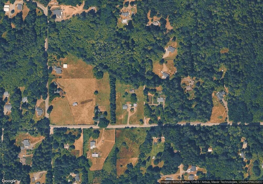
Map
Nearby Homes
- 126th 83rd Ave NW
- 15721 Fairview Lake Rd SW
- 15235 Golden Hawk Place SW
- 15941 Glenwood Rd SW
- 13617 144th St NW
- 14139 Vintage Dr SW
- 13112 Grouse Hollow Dr NW
- 13280 Wicks End Ln SW
- 13916 140th Ave NW
- 13721 137th St NW
- 13257 118th Ave NW
- 13818 Glenwood Rd SW
- 2270 SW Rapids Dr
- 13213 Wicks End Ln SW
- 13619 Sandy Point East NW
- 14720 Parkdale Dr NW
- 11019 136th St NW
- 9711 159th St NW
- 12718 131st St NW
- 14413 134th St NW
- 4331 SW County Line Rd
- 3981 SW County Line Rd
- 12818 160th St NW
- 12818 160th St NW Unit KN
- 12818 160th St NW
- 0 SW SW County Line Rd
- 15825 Fairview Lake Rd SW
- 3785 SW County Line Rd
- 12908 160th St NW
- 15797 Fairview Lake Rd SW
- 16011 Lucas Ln SW
- 136826 130th Ave NW
- 15807 130th Ave NW
- 15802 126th Ave NW
- 15802 126th Ave NW Unit KN
- 4381 SW County Line Rd
- 15807 130th Avenue Kp N Unit KN
- 16021 Lucas Ln SW
- 15813 126th Ave NW
- 15907 126th Ave NW Unit KN