41410 Bobcat Ct Canton, MI 48188
Estimated Value: $296,000 - $328,000
3
Beds
4
Baths
1,429
Sq Ft
$220/Sq Ft
Est. Value
About This Home
This home is located at 41410 Bobcat Ct, Canton, MI 48188 and is currently estimated at $313,979, approximately $219 per square foot. 41410 Bobcat Ct is a home located in Wayne County with nearby schools including Canton High School, Salem High School, and Plymouth High School.
Ownership History
Date
Name
Owned For
Owner Type
Purchase Details
Closed on
May 5, 2017
Sold by
Shaik Nazeer A
Bought by
Forsyth Edward D
Current Estimated Value
Home Financials for this Owner
Home Financials are based on the most recent Mortgage that was taken out on this home.
Original Mortgage
$152,800
Outstanding Balance
$127,522
Interest Rate
4.23%
Mortgage Type
New Conventional
Estimated Equity
$186,457
Purchase Details
Closed on
Jan 28, 2016
Sold by
Cotton Edward P and Cotton Shermanita Y
Bought by
Shaik Nazeer A
Create a Home Valuation Report for This Property
The Home Valuation Report is an in-depth analysis detailing your home's value as well as a comparison with similar homes in the area
Home Values in the Area
Average Home Value in this Area
Purchase History
| Date | Buyer | Sale Price | Title Company |
|---|---|---|---|
| Forsyth Edward D | $191,000 | 1St Security Title Agency In | |
| Shaik Nazeer A | $139,201 | Attorney |
Source: Public Records
Mortgage History
| Date | Status | Borrower | Loan Amount |
|---|---|---|---|
| Open | Forsyth Edward D | $152,800 |
Source: Public Records
Tax History Compared to Growth
Tax History
| Year | Tax Paid | Tax Assessment Tax Assessment Total Assessment is a certain percentage of the fair market value that is determined by local assessors to be the total taxable value of land and additions on the property. | Land | Improvement |
|---|---|---|---|---|
| 2025 | $2,000 | $142,100 | $0 | $0 |
| 2024 | $2,000 | $119,900 | $0 | $0 |
| 2023 | $1,907 | $114,400 | $0 | $0 |
| 2022 | $4,192 | $105,500 | $0 | $0 |
| 2021 | $4,069 | $102,900 | $0 | $0 |
| 2020 | $4,017 | $101,300 | $0 | $0 |
| 2019 | $3,944 | $96,170 | $0 | $0 |
| 2018 | $1,621 | $92,010 | $0 | $0 |
| 2017 | $4,010 | $88,600 | $0 | $0 |
| 2016 | $4,344 | $89,500 | $0 | $0 |
| 2015 | $6,113 | $78,950 | $0 | $0 |
| 2013 | $5,922 | $63,430 | $0 | $0 |
| 2010 | -- | $65,300 | $31,000 | $34,300 |
Source: Public Records
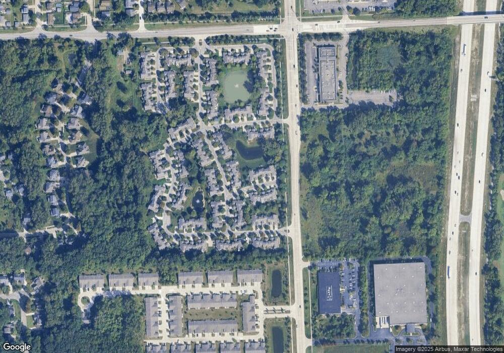
Map
Nearby Homes
- 2435 S Haggerty Rd
- 41481 Cumberland Dr
- 41441 Cumberland Dr
- 1803 Pinecroft Dr Unit 171
- 2322 Arcadia Dr Unit 254
- 40488 Glen Eagle Ln Unit 75
- 2006 S Lilley Rd
- 2340 S Lilley Rd
- 41928 Old Bridge Rd
- 000 S Lotz Rd
- 2098 Preserve Cir W Unit 80
- 2855 Tall Oak Ln
- 2942 Tall Oak Ln
- 1530 Fairfax Dr
- 42272 Beechwood Ct
- 1913 Pebble Creek Dr
- 42384 Beechwood Ct
- 41567 SiMcOe Dr
- 1834 Maple Park Dr W Unit 9
- 41191 Southwind Dr
- 41418 Bobcat Ct
- 41430 Bobcat Ct
- 41430 Bobcat Ct Unit 113
- 41413 Bobcat Ct
- 41452 Bobcat Ct
- 41429 Bobcat Ct
- 41445 Bobcat Ct
- 41461 Bobcat Ct Unit 109
- 41470 Bobcat Ct
- 41477 Bobcat Ct
- 41477 Bobcat Ct Unit 110
- 2107 Lone Wolf Ln Unit 116
- 2107 Lone Wolf Ln Unit 24, 116
- 41490 Bobcat Ct
- 2151 Lone Wolf Ln Unit 118
- 41493 Bobcat Ct Unit 101
- 2173 Lone Wolf Ln Unit 119
- 2129 Lone Wolf Ln Unit 117
- 41415 White Tail Ln Unit 11
- 41415 White Tail Ln