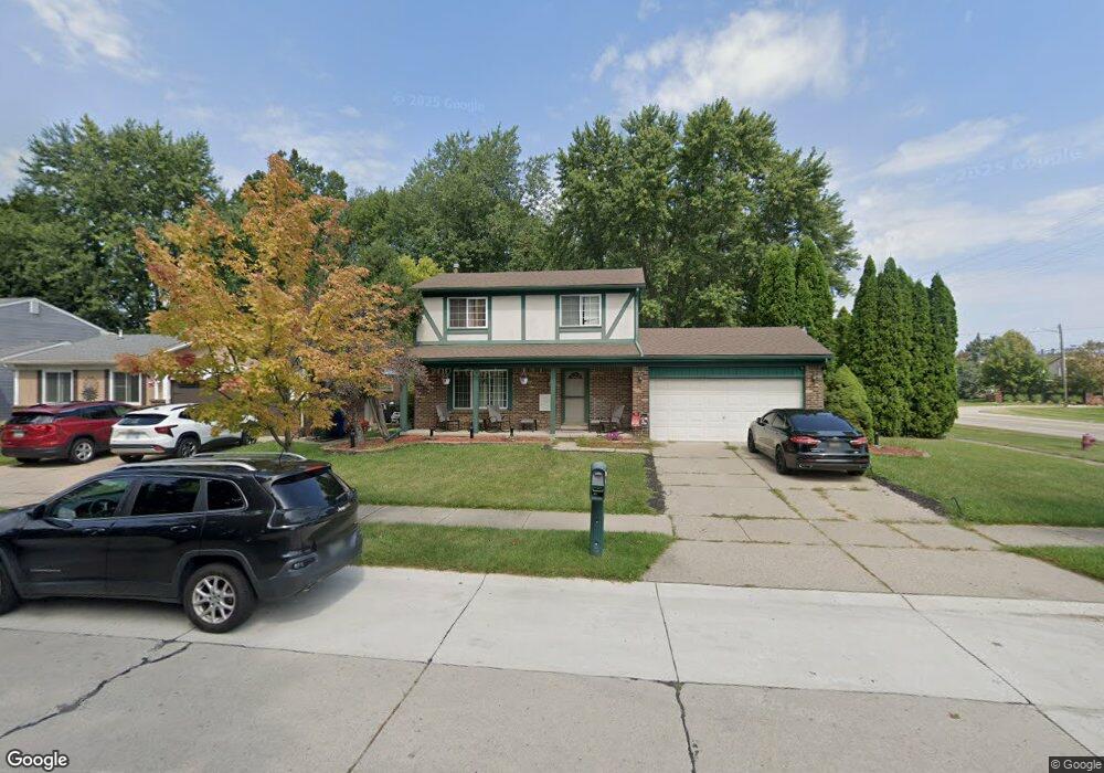
41414 SiMcOe Dr Canton, MI 48188
Estimated Value: $343,000 - $353,000
--
Bed
1
Bath
1,523
Sq Ft
$229/Sq Ft
Est. Value
About This Home
This home is located at 41414 SiMcOe Dr, Canton, MI 48188 and is currently estimated at $348,308, approximately $228 per square foot. 41414 SiMcOe Dr is a home located in Wayne County with nearby schools including Canton High School, Salem High School, and Plymouth High School.
Ownership History
Date
Name
Owned For
Owner Type
Purchase Details
Closed on
Jul 11, 2018
Sold by
Martin Patricia E
Bought by
Doman Rachel and Doman Joe
Current Estimated Value
Purchase Details
Closed on
Apr 29, 2005
Sold by
Martin Lowell B and Martin Patricia E
Bought by
Ochocinski Christopher
Home Financials for this Owner
Home Financials are based on the most recent Mortgage that was taken out on this home.
Original Mortgage
$178,200
Interest Rate
6.13%
Mortgage Type
Fannie Mae Freddie Mac
Purchase Details
Closed on
Nov 21, 2001
Sold by
Martin Lowell B
Bought by
Martin Lowell B
Create a Home Valuation Report for This Property
The Home Valuation Report is an in-depth analysis detailing your home's value as well as a comparison with similar homes in the area
Home Values in the Area
Average Home Value in this Area
Purchase History
| Date | Buyer | Sale Price | Title Company |
|---|---|---|---|
| Doman Rachel | $180,000 | Coretitle Llc | |
| Ochocinski Christopher | $198,000 | 1St Security Title Agency In | |
| Martin Lowell B | -- | -- |
Source: Public Records
Mortgage History
| Date | Status | Borrower | Loan Amount |
|---|---|---|---|
| Previous Owner | Ochocinski Christopher | $178,200 |
Source: Public Records
Tax History Compared to Growth
Tax History
| Year | Tax Paid | Tax Assessment Tax Assessment Total Assessment is a certain percentage of the fair market value that is determined by local assessors to be the total taxable value of land and additions on the property. | Land | Improvement |
|---|---|---|---|---|
| 2025 | $3,246 | $170,000 | $0 | $0 |
| 2024 | $3,246 | $147,900 | $0 | $0 |
| 2023 | $3,093 | $134,500 | $0 | $0 |
| 2022 | $5,338 | $115,300 | $0 | $0 |
| 2021 | $4,749 | $112,200 | $0 | $0 |
| 2020 | $4,686 | $104,600 | $0 | $0 |
| 2019 | $4,603 | $102,470 | $0 | $0 |
| 2018 | $2,662 | $99,830 | $0 | $0 |
| 2017 | $3,319 | $97,800 | $0 | $0 |
| 2016 | $4,242 | $98,800 | $0 | $0 |
| 2015 | $7,199 | $84,350 | $0 | $0 |
| 2013 | $6,974 | $72,600 | $0 | $0 |
| 2010 | -- | $75,580 | $39,054 | $36,526 |
Source: Public Records
Map
Nearby Homes
- 41567 SiMcOe Dr
- 41191 Southwind Dr
- 41109 Southwind Dr
- 42437 Majestic Ct
- 631 Tyler Ln
- 41878 Ravenwood St
- 41441 Cumberland Dr
- 41481 Cumberland Dr
- 42272 Beechwood Ct
- 41928 Old Bridge Rd
- 42384 Beechwood Ct
- 572 Shana St
- 678 Kings Way
- 584 Worthington Rd
- 170 Cherry Hill Pointe Dr
- 632 Georgetown St
- 42075 Gloria Dr
- 829 Glenulline Dr
- 1693 Woodbridge Ct
- 0 Cherry Hill Unit 16924
- 41426 SiMcOe Dr
- 41438 SiMcOe Dr
- 776 S Haggerty Rd
- 804 S Haggerty Rd
- 41371 Southwind Dr
- 41462 SiMcOe Dr
- 814 S Haggerty Rd
- 41445 SiMcOe Dr
- 717 Stonehenge Dr
- 725 Stonehenge Dr
- 41459 SiMcOe Dr
- 41474 SiMcOe Dr
- 41354 Westfield Cir
- 41342 Westfield Cir
- 824 S Haggerty Rd
- 709 Stonehenge Dr
- 41471 SiMcOe Dr
- 41342 Southwind Dr
- 733 Stonehenge Dr
- 41486 SiMcOe Dr