4142 N 350 W Thorntown, IN 46071
Estimated Value: $211,799 - $277,000
2
Beds
1
Bath
1,036
Sq Ft
$240/Sq Ft
Est. Value
About This Home
This home is located at 4142 N 350 W, Thorntown, IN 46071 and is currently estimated at $248,450, approximately $239 per square foot. 4142 N 350 W is a home located in Boone County with nearby schools including Western Boone Junior/Senior High School and James E Davis School.
Ownership History
Date
Name
Owned For
Owner Type
Purchase Details
Closed on
Feb 16, 2021
Sold by
Obiren David
Bought by
Obrien David and Obrien Deborah
Current Estimated Value
Home Financials for this Owner
Home Financials are based on the most recent Mortgage that was taken out on this home.
Original Mortgage
$84,000
Outstanding Balance
$74,957
Interest Rate
2.7%
Mortgage Type
New Conventional
Estimated Equity
$173,493
Create a Home Valuation Report for This Property
The Home Valuation Report is an in-depth analysis detailing your home's value as well as a comparison with similar homes in the area
Home Values in the Area
Average Home Value in this Area
Purchase History
| Date | Buyer | Sale Price | Title Company |
|---|---|---|---|
| Obrien David | -- | None Available |
Source: Public Records
Mortgage History
| Date | Status | Borrower | Loan Amount |
|---|---|---|---|
| Open | Obrien David | $84,000 |
Source: Public Records
Tax History Compared to Growth
Tax History
| Year | Tax Paid | Tax Assessment Tax Assessment Total Assessment is a certain percentage of the fair market value that is determined by local assessors to be the total taxable value of land and additions on the property. | Land | Improvement |
|---|---|---|---|---|
| 2025 | $1,699 | $154,800 | $24,300 | $130,500 |
| 2024 | $1,699 | $144,500 | $24,300 | $120,200 |
| 2023 | $1,624 | $132,100 | $24,300 | $107,800 |
| 2022 | $1,658 | $131,400 | $24,300 | $107,100 |
| 2021 | $1,543 | $113,700 | $24,300 | $89,400 |
| 2020 | $1,475 | $108,600 | $24,300 | $84,300 |
| 2019 | $1,378 | $103,600 | $24,300 | $79,300 |
| 2018 | $1,284 | $97,900 | $24,300 | $73,600 |
| 2017 | $1,260 | $99,000 | $24,300 | $74,700 |
| 2016 | $1,149 | $93,300 | $24,300 | $69,000 |
| 2014 | $1,051 | $91,400 | $24,800 | $66,600 |
| 2013 | $1,182 | $90,300 | $24,800 | $65,500 |
Source: Public Records
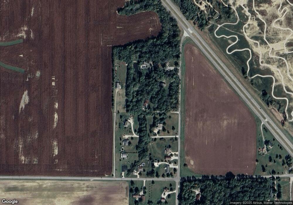
Map
Nearby Homes
- 4535 N Us Hwy 52
- 3502 W 450 N
- 5000 N 275 W
- 3901 N State Road 52
- 5388 W Hazelrigg Rd
- 1502 W 525 N
- 2009 W 250 N
- 6519 N 350 W
- 1304 W 500 N
- 1125 W 300 N
- 975 W 300 N
- 5779 W State Road 47
- 660 W 375 N
- 2726 Sand Hollow Dr
- 2751 Sand Hollow Dr
- 3776 N State Road 39
- 3760 N State Road 39
- 975 Red Hills Ct
- 2900 N State Road 39
- 6823 N US Highway 52