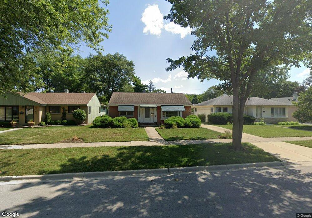
4145 Oak Ave Brookfield, IL 60513
Estimated Value: $294,000 - $358,000
2
Beds
1
Bath
1,008
Sq Ft
$322/Sq Ft
Est. Value
About This Home
This home is located at 4145 Oak Ave, Brookfield, IL 60513 and is currently estimated at $324,957, approximately $322 per square foot. 4145 Oak Ave is a home located in Cook County with nearby schools including Lincoln Elementary School, George Washington Middle School, and Lyons Township High School.
Ownership History
Date
Name
Owned For
Owner Type
Purchase Details
Closed on
Jun 26, 2007
Sold by
Hubbard Roseann P
Bought by
Daniels Betty J
Current Estimated Value
Home Financials for this Owner
Home Financials are based on the most recent Mortgage that was taken out on this home.
Original Mortgage
$135,000
Outstanding Balance
$83,805
Interest Rate
6.37%
Mortgage Type
Unknown
Estimated Equity
$241,152
Purchase Details
Closed on
Oct 3, 1994
Sold by
Slampak Patricia and Miller John R
Bought by
Hubbard Roseann P
Home Financials for this Owner
Home Financials are based on the most recent Mortgage that was taken out on this home.
Original Mortgage
$114,450
Interest Rate
8.64%
Create a Home Valuation Report for This Property
The Home Valuation Report is an in-depth analysis detailing your home's value as well as a comparison with similar homes in the area
Home Values in the Area
Average Home Value in this Area
Purchase History
| Date | Buyer | Sale Price | Title Company |
|---|---|---|---|
| Daniels Betty J | $242,500 | Cti | |
| Hubbard Roseann P | $121,000 | -- |
Source: Public Records
Mortgage History
| Date | Status | Borrower | Loan Amount |
|---|---|---|---|
| Open | Daniels Betty J | $135,000 | |
| Previous Owner | Hubbard Roseann P | $114,450 |
Source: Public Records
Tax History Compared to Growth
Tax History
| Year | Tax Paid | Tax Assessment Tax Assessment Total Assessment is a certain percentage of the fair market value that is determined by local assessors to be the total taxable value of land and additions on the property. | Land | Improvement |
|---|---|---|---|---|
| 2024 | $2,199 | $25,001 | $5,728 | $19,273 |
| 2023 | $2,665 | $25,001 | $5,728 | $19,273 |
| 2022 | $2,665 | $20,458 | $4,938 | $15,520 |
| 2021 | $2,482 | $20,456 | $4,937 | $15,519 |
| 2020 | $2,332 | $20,456 | $4,937 | $15,519 |
| 2019 | $2,732 | $17,403 | $4,542 | $12,861 |
| 2018 | $2,631 | $17,403 | $4,542 | $12,861 |
| 2017 | $2,458 | $17,403 | $4,542 | $12,861 |
| 2016 | $3,830 | $14,858 | $3,950 | $10,908 |
| 2015 | $3,616 | $14,858 | $3,950 | $10,908 |
| 2014 | $3,514 | $14,858 | $3,950 | $10,908 |
| 2013 | $3,614 | $15,774 | $3,950 | $11,824 |
Source: Public Records
Map
Nearby Homes
- 4118 Prairie Ave
- 4214 Prairie Ave
- 4144 Park Ave
- 4230 Prairie Ave
- 4154 Elm Ave
- 4246 Forest Ave
- 4210 Maple Ave
- 3921 Sunnyside Ave
- 4009 Forest Ave
- 3931 Maple Ave
- 4239 Custer Ave
- 4420 Vernon Ave
- 9003 Burlington Ave
- 8809 44th Place
- 8911 Burlington Ave
- 8718 Plainfield Rd
- 3923 Madison Ave
- 8812 45th Place Unit 3
- 4125 Deyo Ave
- 4422 Custer Ave
- 4141 Oak Ave
- 4149 Oak Ave
- 4153 Oak Ave
- 4140 Sunnyside Ave
- 4140 Sunnyside Ave
- 4144 Sunnyside Ave
- 4133 Oak Ave
- 4146 Sunnyside Ave
- 4136 Sunnyside Ave
- 4148 Sunnyside Ave
- 4129 Oak Ave
- 4130 Sunnyside Ave
- 4201 Oak Ave
- 4146 Oak Ave
- 4150 Oak Ave
- 4154 Oak Ave
- 4128 Sunnyside Ave
- 4125 Oak Ave
- 4205 Oak Ave
- 4126 Sunnyside Ave