4145 Pearce Rd Mays Landing, NJ 08330
Estimated Value: $335,466 - $422,000
--
Bed
--
Bath
1,320
Sq Ft
$297/Sq Ft
Est. Value
About This Home
This home is located at 4145 Pearce Rd, Mays Landing, NJ 08330 and is currently estimated at $391,822, approximately $296 per square foot. 4145 Pearce Rd is a home located in Atlantic County with nearby schools including George L. Hess Educational Complex, Joseph Shaner School, and William Davies Middle School.
Ownership History
Date
Name
Owned For
Owner Type
Purchase Details
Closed on
Sep 9, 2015
Sold by
Vaughan John W
Bought by
Vaughan Sarah B
Current Estimated Value
Purchase Details
Closed on
Feb 25, 2011
Sold by
Vaughan John W and Vaughan Sarah
Bought by
Vaughan John W and Vaughan Sarah
Home Financials for this Owner
Home Financials are based on the most recent Mortgage that was taken out on this home.
Original Mortgage
$223,200
Interest Rate
4.83%
Mortgage Type
New Conventional
Purchase Details
Closed on
Aug 2, 2001
Sold by
Decathlon Construction Co Inc
Bought by
Vaughan John W
Home Financials for this Owner
Home Financials are based on the most recent Mortgage that was taken out on this home.
Original Mortgage
$123,200
Interest Rate
7.14%
Mortgage Type
Stand Alone First
Purchase Details
Closed on
Feb 21, 2001
Sold by
Ole Hansen & Sons Inc
Bought by
Decathlon Construction Co Inc
Home Financials for this Owner
Home Financials are based on the most recent Mortgage that was taken out on this home.
Original Mortgage
$115,500
Interest Rate
7%
Mortgage Type
Credit Line Revolving
Create a Home Valuation Report for This Property
The Home Valuation Report is an in-depth analysis detailing your home's value as well as a comparison with similar homes in the area
Home Values in the Area
Average Home Value in this Area
Purchase History
| Date | Buyer | Sale Price | Title Company |
|---|---|---|---|
| Vaughan Sarah B | -- | Attorney | |
| Vaughan John W | -- | None Available | |
| Vaughan John W | $154,000 | -- | |
| Decathlon Construction Co Inc | $35,000 | -- |
Source: Public Records
Mortgage History
| Date | Status | Borrower | Loan Amount |
|---|---|---|---|
| Previous Owner | Vaughan John W | $223,200 | |
| Previous Owner | Vaughan John W | $123,200 | |
| Previous Owner | Decathlon Construction Co Inc | $115,500 |
Source: Public Records
Tax History Compared to Growth
Tax History
| Year | Tax Paid | Tax Assessment Tax Assessment Total Assessment is a certain percentage of the fair market value that is determined by local assessors to be the total taxable value of land and additions on the property. | Land | Improvement |
|---|---|---|---|---|
| 2025 | $6,519 | $190,000 | $65,100 | $124,900 |
| 2024 | $6,519 | $190,000 | $65,100 | $124,900 |
| 2023 | $6,129 | $190,000 | $65,100 | $124,900 |
| 2022 | $6,129 | $190,000 | $65,100 | $124,900 |
| 2021 | $6,116 | $190,000 | $65,100 | $124,900 |
| 2020 | $6,116 | $190,000 | $65,100 | $124,900 |
| 2019 | $6,131 | $190,000 | $65,100 | $124,900 |
| 2018 | $6,888 | $221,200 | $65,100 | $156,100 |
| 2017 | $6,780 | $221,200 | $65,100 | $156,100 |
| 2016 | $6,590 | $221,200 | $65,100 | $156,100 |
| 2015 | $6,366 | $221,200 | $65,100 | $156,100 |
| 2014 | $6,315 | $240,400 | $76,400 | $164,000 |
Source: Public Records
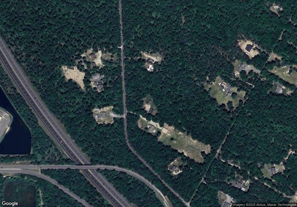
Map
Nearby Homes
- 2580 Wrangleboro Rd
- 2425 Lahn Ln
- 4127 Black Horse Pike
- 2619 Boulder Ct
- 2619 Durango Ct Unit 910
- 124 Amherst Dr
- 7 Golf Dr
- 16 Rue Chagall
- 8 Rembrandt Way
- 7 Renaissance Dr
- 20 Monet Dr
- 66 Monet Dr
- 94 Baltusrol Dr
- 78 Oakmont Dr
- 24 Ravenwood Dr
- 4455 Yorktown Place Unit 28
- 26 Baltusrol Dr
- 712 Scarborough Dr
- 4505 Concord Place Unit K86
- 277 Greenbriar Ct