4145 S Michael Rd Ann Arbor, MI 48103
Estimated Value: $931,000 - $1,327,000
4
Beds
4
Baths
3,377
Sq Ft
$328/Sq Ft
Est. Value
About This Home
This home is located at 4145 S Michael Rd, Ann Arbor, MI 48103 and is currently estimated at $1,107,475, approximately $327 per square foot. 4145 S Michael Rd is a home located in Washtenaw County with nearby schools including Lakewood Elementary School, Slauson Middle School, and Pioneer High School.
Ownership History
Date
Name
Owned For
Owner Type
Purchase Details
Closed on
Feb 13, 2012
Sold by
Forte Robert D and Forte Jennifer
Bought by
Wilkins Frederick J and Wilkins Jodi E
Current Estimated Value
Home Financials for this Owner
Home Financials are based on the most recent Mortgage that was taken out on this home.
Original Mortgage
$300,000
Outstanding Balance
$202,728
Interest Rate
3.91%
Mortgage Type
New Conventional
Estimated Equity
$904,747
Purchase Details
Closed on
Feb 12, 2009
Sold by
Zalenzki Walter J and Dudley Carol
Bought by
Forte Robert D and Forte Jennifer
Home Financials for this Owner
Home Financials are based on the most recent Mortgage that was taken out on this home.
Original Mortgage
$412,000
Interest Rate
4.91%
Mortgage Type
Purchase Money Mortgage
Purchase Details
Closed on
Dec 22, 2008
Sold by
Louzecky Thomas
Bought by
Dudley Carol and Zalenski Walter
Home Financials for this Owner
Home Financials are based on the most recent Mortgage that was taken out on this home.
Original Mortgage
$412,000
Interest Rate
4.91%
Mortgage Type
Purchase Money Mortgage
Purchase Details
Closed on
Dec 18, 2008
Sold by
Stahold Corporation
Bought by
Dudley Carol and Zalenski Walter
Home Financials for this Owner
Home Financials are based on the most recent Mortgage that was taken out on this home.
Original Mortgage
$412,000
Interest Rate
4.91%
Mortgage Type
Purchase Money Mortgage
Purchase Details
Closed on
Dec 15, 2008
Sold by
Scio Township
Bought by
Dudley Carol and Zalenski Walter
Home Financials for this Owner
Home Financials are based on the most recent Mortgage that was taken out on this home.
Original Mortgage
$412,000
Interest Rate
4.91%
Mortgage Type
Purchase Money Mortgage
Purchase Details
Closed on
Dec 12, 2008
Sold by
Hickory Ridge Development Group Llc
Bought by
Dudley Carol and Zalenski Walter
Purchase Details
Closed on
Dec 11, 2008
Sold by
Open Roads Developers Llc
Bought by
Dudley Carol and Zalenski Walter
Create a Home Valuation Report for This Property
The Home Valuation Report is an in-depth analysis detailing your home's value as well as a comparison with similar homes in the area
Home Values in the Area
Average Home Value in this Area
Purchase History
| Date | Buyer | Sale Price | Title Company |
|---|---|---|---|
| Wilkins Frederick J | $599,000 | Liberty Title | |
| Forte Robert D | $515,000 | None Available | |
| Dudley Carol | -- | None Available | |
| Dudley Carol | -- | None Available | |
| Dudley Carol | -- | None Available | |
| Dudley Carol | -- | None Available | |
| Dudley Carol | -- | None Available | |
| Dudley Carol | -- | None Available |
Source: Public Records
Mortgage History
| Date | Status | Borrower | Loan Amount |
|---|---|---|---|
| Open | Wilkins Frederick J | $300,000 | |
| Previous Owner | Forte Robert D | $412,000 |
Source: Public Records
Tax History
| Year | Tax Paid | Tax Assessment Tax Assessment Total Assessment is a certain percentage of the fair market value that is determined by local assessors to be the total taxable value of land and additions on the property. | Land | Improvement |
|---|---|---|---|---|
| 2025 | $9,118 | $428,400 | $0 | $0 |
| 2024 | $8,900 | $420,100 | $0 | $0 |
| 2023 | $8,552 | $483,300 | $0 | $0 |
| 2022 | $11,912 | $448,300 | $0 | $0 |
| 2021 | $11,397 | $444,500 | $0 | $0 |
| 2020 | $11,663 | $431,500 | $0 | $0 |
| 2019 | $10,769 | $418,100 | $418,100 | $0 |
| 2018 | $10,498 | $347,400 | $0 | $0 |
| 2017 | $9,402 | $297,500 | $0 | $0 |
| 2016 | $6,580 | $258,733 | $0 | $0 |
| 2015 | -- | $257,960 | $0 | $0 |
| 2014 | -- | $249,900 | $0 | $0 |
| 2013 | -- | $249,900 | $0 | $0 |
Source: Public Records
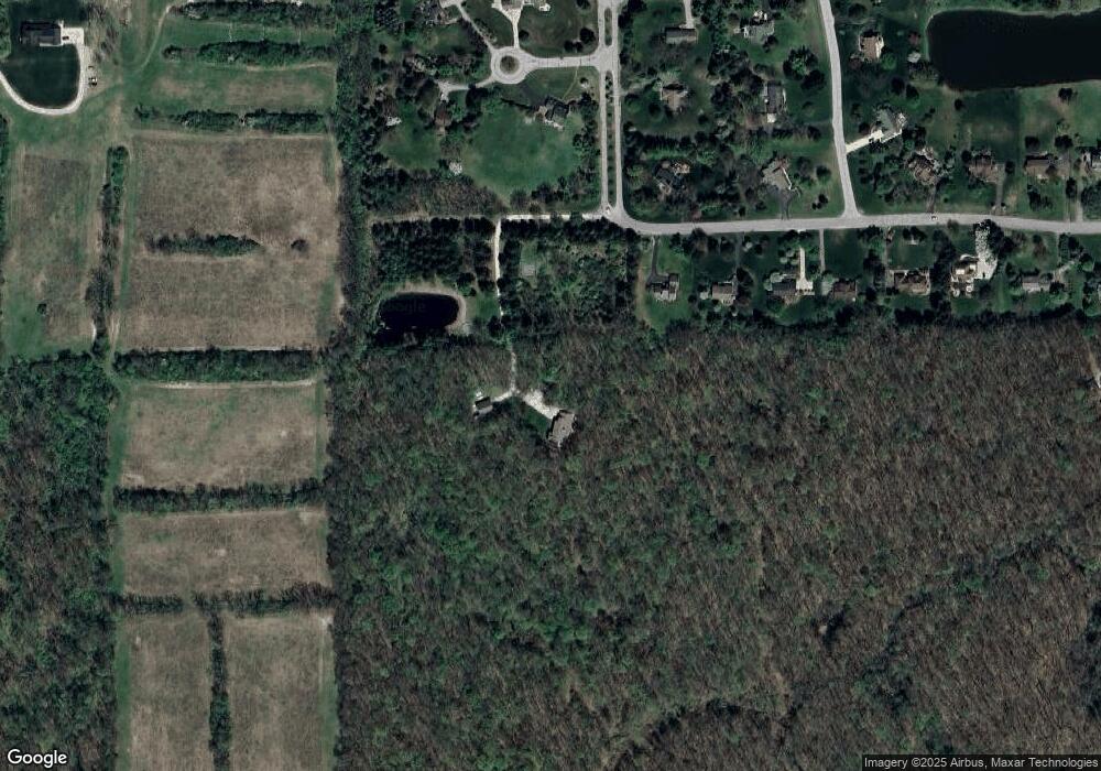
Map
Nearby Homes
- The Champlain Plan at Cranbrook of Scio
- The Vallecito Plan at Cranbrook of Scio
- The Palisade Plan at Cranbrook of Scio
- The Marion Plan at Cranbrook of Scio
- The Granada Plan at Cranbrook of Scio
- The Lucerne Plan at Cranbrook of Scio
- #24 Loon Ln
- #53 Loon Ln
- 4944 Scio Church Rd
- 4257 Loon Ln
- 4346 Loon Ln
- 4261 Loon Ln
- 4229 Loon Ln
- 4262 Duck Dr
- 4236 Duck Dr
- 1419 N Bay Dr Unit 73
- 1343 Timmins Dr Unit 8
- 5272 W Liberty Rd
- 1056 Joyce Ln Unit 92
- 5139 Polo Fields Dr
- 4089 S Michael Rd
- 4061 S Michael Rd
- 4221 Jocelyn Ct
- 4084 S Michael Rd
- 4143 Jocelyn Ct
- 4033 S Michael Rd
- 1385 Skyhawk Blvd
- 1428 Tammy Ln
- 4005 S Michael Rd
- 4226 Jocelyn Ct
- 0 Michael Rd N Unit 4377119
- 0 Michael Rd N Unit 3105877
- 0 Michael Rd N Unit 543105877
- 0 Michael Rd N Unit 21163
- 0 Michael Rd N Unit 3265896
- 0 Michael Rd N Unit 3256895
- 4091 N Michael Rd
- 1400 Tammy Ln
- 4148 Jocelyn Ct
- 3977 S Michael Rd
Your Personal Tour Guide
Ask me questions while you tour the home.