4147 12th St Wayland, MI 49348
Estimated Value: $249,000 - $397,000
4
Beds
2
Baths
1,728
Sq Ft
$192/Sq Ft
Est. Value
About This Home
This home is located at 4147 12th St, Wayland, MI 49348 and is currently estimated at $332,324, approximately $192 per square foot. 4147 12th St is a home located in Allegan County with nearby schools including Wayland High School, Moline Christian School, and St. Therese Catholic School.
Ownership History
Date
Name
Owned For
Owner Type
Purchase Details
Closed on
Dec 7, 2006
Sold by
Wouters Connie L
Bought by
Sipkema Gary R
Current Estimated Value
Create a Home Valuation Report for This Property
The Home Valuation Report is an in-depth analysis detailing your home's value as well as a comparison with similar homes in the area
Home Values in the Area
Average Home Value in this Area
Purchase History
| Date | Buyer | Sale Price | Title Company |
|---|---|---|---|
| Sipkema Gary R | -- | None Available |
Source: Public Records
Tax History Compared to Growth
Tax History
| Year | Tax Paid | Tax Assessment Tax Assessment Total Assessment is a certain percentage of the fair market value that is determined by local assessors to be the total taxable value of land and additions on the property. | Land | Improvement |
|---|---|---|---|---|
| 2025 | $1,830 | $100,800 | $23,500 | $77,300 |
| 2024 | $1,039 | $95,100 | $20,200 | $74,900 |
| 2023 | $1,039 | $69,600 | $20,200 | $49,400 |
| 2022 | $1,039 | $64,100 | $21,000 | $43,100 |
| 2021 | $972 | $60,200 | $20,800 | $39,400 |
| 2020 | $953 | $57,000 | $20,800 | $36,200 |
| 2019 | $926 | $49,200 | $19,100 | $30,100 |
| 2018 | $893 | $44,700 | $19,100 | $25,600 |
| 2017 | $0 | $43,300 | $19,100 | $24,200 |
| 2016 | $0 | $34,300 | $19,100 | $15,200 |
| 2015 | -- | $34,300 | $19,100 | $15,200 |
| 2014 | -- | $34,400 | $18,100 | $16,300 |
| 2013 | $830 | $34,300 | $18,100 | $16,200 |
Source: Public Records
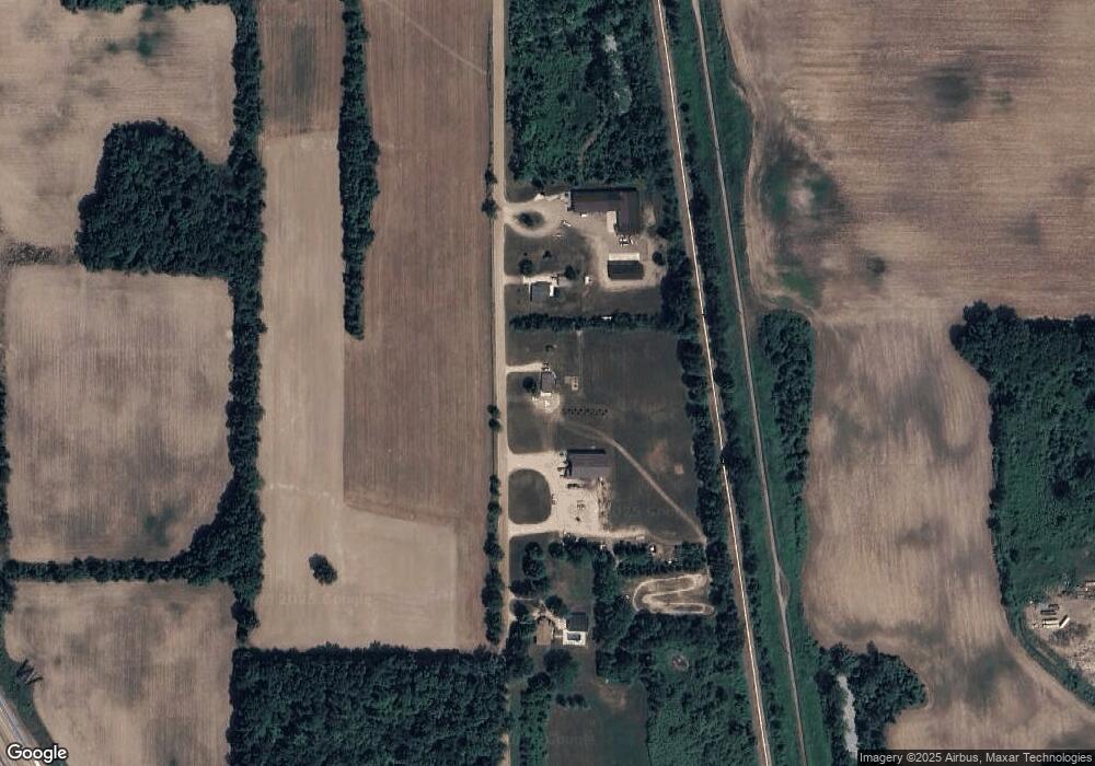
Map
Nearby Homes
- 4240 Butternut Dr
- Vienna Plan at Harvest Meadows
- Charlotte Plan at Harvest Meadows
- Sierra Plan at Harvest Meadows
- Karolynn Plan at Harvest Meadows
- Reno Plan at Harvest Meadows
- Bayberry Plan at Harvest Meadows
- Freedom Plan at Harvest Meadows
- London Plan at Harvest Meadows
- Hampton Plan at Harvest Meadows
- Oxford Plan at Harvest Meadows
- 4273 Highpoint Dr Unit 112
- 4243 Butternut Dr
- 4245 Butternut Dr
- Unit 111 Highpoint Dr
- Lot 142 Butternut Dr
- Lot 141 Butternut Dr
- 4249 Butternut Dr
- 4316 Sussex Place
- 4274 Butternut Dr