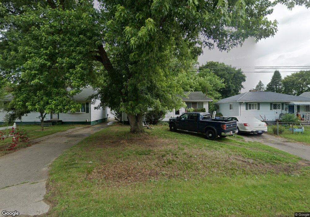
4147 Branch Rd Flint, MI 48506
Northeast Flint NeighborhoodEstimated Value: $50,000 - $63,000
3
Beds
1
Bath
962
Sq Ft
$60/Sq Ft
Est. Value
About This Home
This home is located at 4147 Branch Rd, Flint, MI 48506 and is currently estimated at $58,199, approximately $60 per square foot. 4147 Branch Rd is a home located in Genesee County with nearby schools including Brownell STEM Academy, Richfield Public School Academy, and Richfield Early Learning Center.
Ownership History
Date
Name
Owned For
Owner Type
Purchase Details
Closed on
Jul 1, 2003
Sold by
Hendrix Brenda L and Deming Tamara
Bought by
Martin Ashley and Martin Kenneth E
Current Estimated Value
Purchase Details
Closed on
Jul 23, 2001
Sold by
Hendrix Brenda L
Bought by
Hendrix Brenda L and Deming Tamara
Home Financials for this Owner
Home Financials are based on the most recent Mortgage that was taken out on this home.
Original Mortgage
$38,100
Interest Rate
7.03%
Create a Home Valuation Report for This Property
The Home Valuation Report is an in-depth analysis detailing your home's value as well as a comparison with similar homes in the area
Home Values in the Area
Average Home Value in this Area
Purchase History
| Date | Buyer | Sale Price | Title Company |
|---|---|---|---|
| Martin Ashley | $63,500 | Guaranty Title Company | |
| Hendrix Brenda L | -- | First American Title Ins Co |
Source: Public Records
Mortgage History
| Date | Status | Borrower | Loan Amount |
|---|---|---|---|
| Previous Owner | Hendrix Brenda L | $38,100 |
Source: Public Records
Tax History
| Year | Tax Paid | Tax Assessment Tax Assessment Total Assessment is a certain percentage of the fair market value that is determined by local assessors to be the total taxable value of land and additions on the property. | Land | Improvement |
|---|---|---|---|---|
| 2025 | $842 | $22,000 | $0 | $0 |
| 2024 | $786 | $18,100 | $0 | $0 |
| 2023 | $774 | $14,000 | $0 | $0 |
| 2022 | $0 | $10,800 | $0 | $0 |
| 2021 | $781 | $10,200 | $0 | $0 |
| 2020 | $726 | $10,100 | $0 | $0 |
| 2019 | $715 | $9,100 | $0 | $0 |
| 2018 | $567 | $6,700 | $0 | $0 |
| 2017 | $730 | $0 | $0 | $0 |
| 2016 | $725 | $0 | $0 | $0 |
| 2015 | -- | $0 | $0 | $0 |
| 2014 | -- | $0 | $0 | $0 |
| 2012 | -- | $13,500 | $0 | $0 |
Source: Public Records
Map
Nearby Homes
- 2935 Richfield Rd
- 3006 Agree Ave
- 00 Richfield Rd
- 3010 Wyoming Ave
- 3118 Wyoming Ave
- 3210 Wyoming Ave
- 3294 Huggins Ave
- 4907 Delta Dr
- 3705 Aldon Ln
- 4808 Alpha Way
- 3018 Dakota Ave
- 4923 Alpha Way
- 3364 E Pierson Rd
- 3413 Dakota Ave
- 2719 Branch Rd
- 2825 Eaton Place
- 3314 Dakota Ave
- 2727 Eaton Place
- 3734 Craig Dr
- 2701 Branch Rd
- 4151 Branch Rd
- 4148 Coggins Ave
- 3014 Carr St
- 3008 Carr St
- 4143 Branch Rd
- 4136 Coggins Ave
- 3002 Carr St
- 3186 Branch Rd
- 3196 Branch Rd
- 4132 Coggins Ave
- 4127 Branch Rd
- 3180 Branch Rd
- 3005 Carr St
- 4128 Coggins Ave
- 3148 Carr St
- 4151 Coggins Ave
- 4147 Coggins Ave
- 4143 Coggins Ave
- 3168 Branch Rd
- 3200 Branch Rd
Your Personal Tour Guide
Ask me questions while you tour the home.