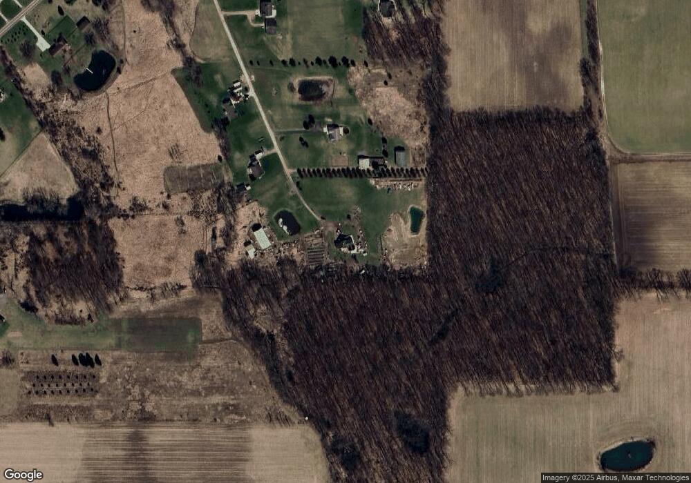
4149 Brogan Rd Stockbridge, MI 49285
Estimated Value: $378,000 - $508,929
4
Beds
2
Baths
1,587
Sq Ft
$268/Sq Ft
Est. Value
About This Home
This home is located at 4149 Brogan Rd, Stockbridge, MI 49285 and is currently estimated at $425,643, approximately $268 per square foot. 4149 Brogan Rd is a home located in Ingham County with nearby schools including Emma Smith Elementary School, Heritage School, and Stockbridge High School.
Ownership History
Date
Name
Owned For
Owner Type
Purchase Details
Closed on
Mar 27, 2017
Sold by
Bordine Duane D and Bordine Sharon Lovell
Bought by
Bordine Duane D and Bordine Sharon L
Current Estimated Value
Purchase Details
Closed on
Aug 1, 2005
Sold by
Stepp Jeffrey V and Stepp Jill N
Bought by
Bordine Duane D and Bordine Sharon Lovell
Home Financials for this Owner
Home Financials are based on the most recent Mortgage that was taken out on this home.
Original Mortgage
$200,000
Interest Rate
5.66%
Mortgage Type
Fannie Mae Freddie Mac
Purchase Details
Closed on
Jul 30, 2001
Sold by
Brown Dickie L and Brown Cheryl L
Bought by
Stepp Jeffrey and Stepp Jill N
Home Financials for this Owner
Home Financials are based on the most recent Mortgage that was taken out on this home.
Original Mortgage
$213,750
Interest Rate
6.99%
Purchase Details
Closed on
Feb 27, 1997
Sold by
Risner Richard and Risner Sharon
Bought by
Brown Dickie and Brown Cheryl
Create a Home Valuation Report for This Property
The Home Valuation Report is an in-depth analysis detailing your home's value as well as a comparison with similar homes in the area
Home Values in the Area
Average Home Value in this Area
Purchase History
| Date | Buyer | Sale Price | Title Company |
|---|---|---|---|
| Bordine Duane D | -- | None Available | |
| Bordine Duane D | $250,900 | Liberty Title | |
| Stepp Jeffrey | $225,000 | -- | |
| Brown Dickie | $197,000 | -- |
Source: Public Records
Mortgage History
| Date | Status | Borrower | Loan Amount |
|---|---|---|---|
| Closed | Bordine Duane D | $200,000 | |
| Previous Owner | Stepp Jeffrey | $213,750 |
Source: Public Records
Tax History Compared to Growth
Tax History
| Year | Tax Paid | Tax Assessment Tax Assessment Total Assessment is a certain percentage of the fair market value that is determined by local assessors to be the total taxable value of land and additions on the property. | Land | Improvement |
|---|---|---|---|---|
| 2025 | $5,622 | $240,200 | $35,800 | $204,400 |
| 2024 | $5,326 | $237,700 | $34,200 | $203,500 |
| 2023 | $5,326 | $222,800 | $33,200 | $189,600 |
| 2022 | $5,040 | $194,400 | $31,700 | $162,700 |
| 2021 | $4,959 | $183,300 | $0 | $0 |
| 2020 | $4,861 | $178,100 | $0 | $0 |
| 2019 | $2,576 | $52,400 | $32,300 | $20,100 |
| 2018 | $3,398 | $116,400 | $29,600 | $86,800 |
| 2017 | $3,207 | $116,400 | $29,600 | $86,800 |
| 2016 | -- | $115,900 | $29,550 | $86,350 |
| 2015 | -- | $108,500 | $59,147 | $49,353 |
| 2014 | -- | $93,900 | $56,253 | $37,647 |
Source: Public Records
Map
Nearby Homes
- 5001 Dexter Trail
- 4005 Eastbridge Rd
- 4012 Eastbridge Rd
- 4059 Eastbridge Rd
- 4057 Eastbridge Rd
- 4053 Eastbridge Rd
- 4100 N Main St
- 0 M-52 Unit 291080
- 303 Mechanic St
- 0 Green Rd Unit 25034208
- 630 W Main St W
- Lot 7 Lucas Ln
- 4510 Milner Rd
- 4239 Adams Rd
- 0 Adams Unit 25049387
- 13201 Rockwell Rd
- 5599 S M 52
- 3873 Dexter Trail
- 5695 Hinkley Rd
- 5367 E M 36