4149 Caron Rd Deming, WA 98244
Estimated Value: $1,189,820
3
Beds
3
Baths
2,512
Sq Ft
$474/Sq Ft
Est. Value
About This Home
This home is located at 4149 Caron Rd, Deming, WA 98244 and is currently estimated at $1,189,820, approximately $473 per square foot. 4149 Caron Rd is a home located in Whatcom County with nearby schools including Mount Baker Senior High School.
Ownership History
Date
Name
Owned For
Owner Type
Purchase Details
Closed on
Feb 11, 2023
Sold by
Weinstein Lyle M and Weinstein Riza L
Bought by
Kampo Gangra Foundation
Current Estimated Value
Purchase Details
Closed on
Jul 2, 2008
Sold by
Kalita Jerzy W and Kalita Krystyna G
Bought by
Weinstein Lyle M and Weinstein Riza L
Home Financials for this Owner
Home Financials are based on the most recent Mortgage that was taken out on this home.
Original Mortgage
$432,000
Interest Rate
6.04%
Mortgage Type
Purchase Money Mortgage
Purchase Details
Closed on
Jan 23, 2001
Sold by
Hutton Donald F
Bought by
Kalita Jerzy W and Kalita Krystyna G
Home Financials for this Owner
Home Financials are based on the most recent Mortgage that was taken out on this home.
Original Mortgage
$213,750
Interest Rate
7.13%
Purchase Details
Closed on
May 15, 2000
Sold by
Nyberg Bernice
Bought by
Hutton Donald
Create a Home Valuation Report for This Property
The Home Valuation Report is an in-depth analysis detailing your home's value as well as a comparison with similar homes in the area
Home Values in the Area
Average Home Value in this Area
Purchase History
| Date | Buyer | Sale Price | Title Company |
|---|---|---|---|
| Kampo Gangra Foundation | -- | Whatcom Land Title | |
| Weinstein Lyle M | $540,280 | Whatcom Land Title | |
| Kalita Jerzy W | -- | Whatcom Land Title | |
| Hutton Donald | -- | -- |
Source: Public Records
Mortgage History
| Date | Status | Borrower | Loan Amount |
|---|---|---|---|
| Previous Owner | Weinstein Lyle M | $432,000 | |
| Previous Owner | Kalita Jerzy W | $213,750 |
Source: Public Records
Tax History Compared to Growth
Tax History
| Year | Tax Paid | Tax Assessment Tax Assessment Total Assessment is a certain percentage of the fair market value that is determined by local assessors to be the total taxable value of land and additions on the property. | Land | Improvement |
|---|---|---|---|---|
| 2024 | $98 | $6,071 | $6,071 | -- |
| 2023 | $98 | $5,972 | $5,972 | $0 |
| 2022 | $3,315 | $339,465 | $26,233 | $313,232 |
| 2021 | $3,502 | $339,465 | $26,233 | $313,232 |
| 2020 | $3,658 | $333,232 | $20,000 | $313,232 |
| 2019 | $3,399 | $339,263 | $26,031 | $313,232 |
| 2018 | $3,888 | $338,327 | $20,000 | $318,327 |
| 2017 | $3,510 | $302,556 | $20,000 | $282,556 |
| 2016 | $3,595 | $302,556 | $20,000 | $282,556 |
| 2015 | $3,517 | $302,556 | $20,000 | $282,556 |
| 2014 | -- | $290,672 | $25,400 | $265,272 |
| 2013 | -- | $275,932 | $25,439 | $250,493 |
Source: Public Records
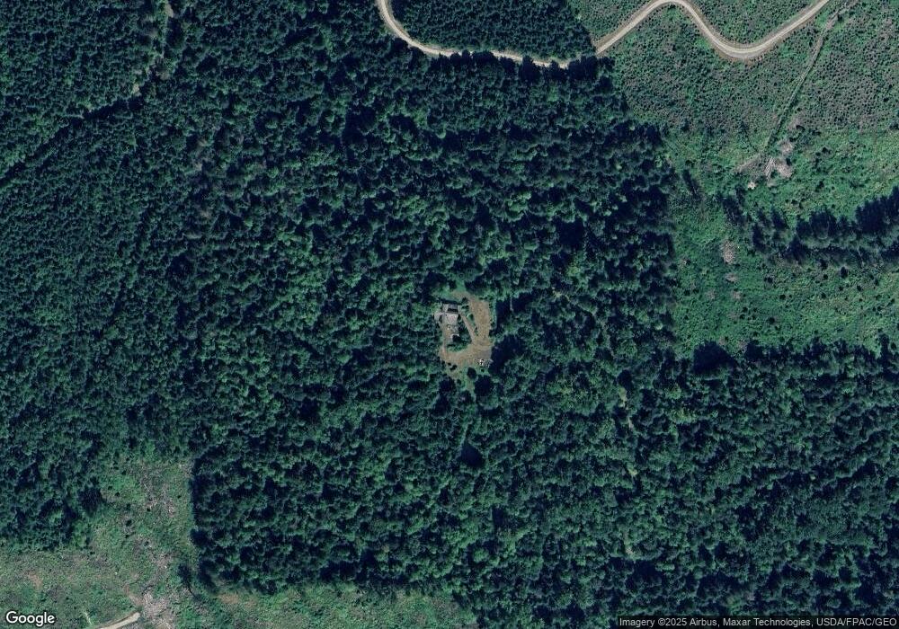
Map
Nearby Homes
- 4126 Caron Rd
- 4086 Valley Hwy
- 4120 Valley Hwy
- 5718 Schornbush Rd
- 5070 Deming Rd
- 0 Mt Baker Hwy Unit NWM2371192
- 0 Mt Baker Hwy Unit NWM2230071
- 8290 Mount Baker Hwy
- 5458 Mount Baker Hwy
- 7019 Mount Baker Hwy
- 4290 Mt Baker Hwy
- 5510 Mt Baker Hwy
- 3999 Deming Rd
- 0 N Fork Rd
- 3505 E Smith Rd
- 5463 Mosquito Lake Rd
- 3557 Cedarville Rd Unit 13
- 3100 Mt Baker Hwy
- 5860 Bell Creek Logging Rd
- 5753 Lawrence Rd
- 5052 Potter Rd
- 55 Potter Rd
- 4187 Caron Rd
- 4083 Caron Rd
- 5030 Potter Rd
- 4202 Caron Rd
- 4104 Caron Rd
- 3988 Hillside Rd
- 3965 Hillside Rd
- 5049 Potter Rd
- 3958 Hillside Rd
- 3952 Hillside Rd
- 3941 Hillside Rd
- 5156 Potter Rd
- 4206 Caron Rd
- 3892 Hillside Rd
- 5191 Potter Rd
- 0 Caron Rd
- 5225 Potter Rd
- 5255 Potter Rd