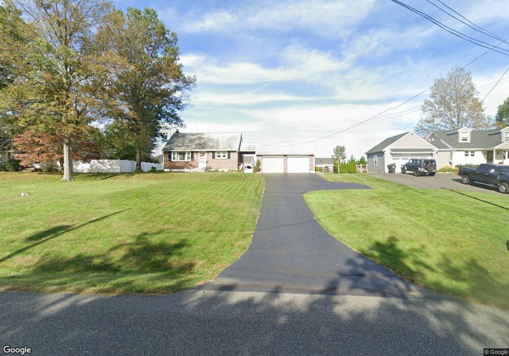
415 Buchert Rd Pottstown, PA 19464
Estimated Value: $296,000 - $371,000
4
Beds
1
Bath
1,299
Sq Ft
$251/Sq Ft
Est. Value
About This Home
This home is located at 415 Buchert Rd, Pottstown, PA 19464 and is currently estimated at $326,070, approximately $251 per square foot. 415 Buchert Rd is a home located in Montgomery County with nearby schools including Lower Pottsgrove Elementary School, Pottsgrove Middle School, and Pottsgrove Senior High School.
Ownership History
Date
Name
Owned For
Owner Type
Purchase Details
Closed on
Oct 16, 2024
Sold by
Ondo Dolores L
Bought by
Pluck Christopher M
Current Estimated Value
Home Financials for this Owner
Home Financials are based on the most recent Mortgage that was taken out on this home.
Original Mortgage
$231,200
Outstanding Balance
$228,769
Interest Rate
6.35%
Mortgage Type
New Conventional
Estimated Equity
$97,301
Purchase Details
Closed on
Sep 14, 2007
Sold by
Ondo Dolores L and Ondo George J
Bought by
Ondo Dolores L
Create a Home Valuation Report for This Property
The Home Valuation Report is an in-depth analysis detailing your home's value as well as a comparison with similar homes in the area
Home Values in the Area
Average Home Value in this Area
Purchase History
| Date | Buyer | Sale Price | Title Company |
|---|---|---|---|
| Pluck Christopher M | $289,000 | None Listed On Document | |
| Pluck Christopher M | $289,000 | None Listed On Document | |
| Ondo Dolores L | -- | None Available |
Source: Public Records
Mortgage History
| Date | Status | Borrower | Loan Amount |
|---|---|---|---|
| Open | Pluck Christopher M | $231,200 | |
| Closed | Pluck Christopher M | $231,200 |
Source: Public Records
Tax History Compared to Growth
Tax History
| Year | Tax Paid | Tax Assessment Tax Assessment Total Assessment is a certain percentage of the fair market value that is determined by local assessors to be the total taxable value of land and additions on the property. | Land | Improvement |
|---|---|---|---|---|
| 2025 | $4,414 | $117,480 | $50,090 | $67,390 |
| 2024 | $4,414 | $117,480 | $50,090 | $67,390 |
| 2023 | $4,245 | $117,480 | $50,090 | $67,390 |
| 2022 | $4,105 | $117,480 | $50,090 | $67,390 |
| 2021 | $3,972 | $117,480 | $50,090 | $67,390 |
| 2020 | $3,849 | $117,480 | $50,090 | $67,390 |
| 2019 | $3,737 | $117,480 | $50,090 | $67,390 |
| 2018 | $649 | $117,480 | $50,090 | $67,390 |
| 2017 | $3,501 | $117,480 | $50,090 | $67,390 |
| 2016 | $3,454 | $117,480 | $50,090 | $67,390 |
| 2015 | $3,301 | $117,480 | $50,090 | $67,390 |
| 2014 | $3,301 | $117,480 | $50,090 | $67,390 |
Source: Public Records
Map
Nearby Homes
- 1215 N Franklin St
- 1238 Kauffman Rd
- 1200 Spruce St
- 1338 Lynn Dr
- 240 Mervine St
- 1033 Pine St
- 1411 N Adams St
- 957 Ivy Ln
- 8 Welsh Ct
- 890 N Warren St
- 279 Prospect St
- 1131 Crestwood Dr
- 828 N Washington St
- 840 N Charlotte St
- 813 N Franklin St
- 809 N Franklin St
- 1456 Meadowview Dr
- 937 N Hills Blvd
- 149 Stone Hill Dr
- 183 Stone Hill Dr
- 441 Buchert Rd
- 433 Buchert Rd
- 425 Buchert Rd
- 423 Buchert Rd Unit 90
- 421 Buchert Rd
- 417 Buchert Rd
- 413 Buchert Rd
- 411 Buchert Rd
- 409 Buchert Rd
- 407 Buchert Rd
- 405 Buchert Rd
- 403 Buchert Rd
- 401 Buchert Rd
- 399 Buchert Rd
- 397 Buchert Rd
- 395 Buchert Rd
- 391 Buchert Rd
- 1285 Woodland Ct
- 1288 Woodland Ct
- 1281 Woodland Ct