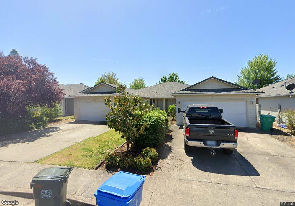
415 Crystal Dr Eagle Point, OR 97524
Estimated Value: $301,000 - $335,000
3
Beds
2
Baths
1,340
Sq Ft
$236/Sq Ft
Est. Value
About This Home
This home is located at 415 Crystal Dr, Eagle Point, OR 97524 and is currently estimated at $316,641, approximately $236 per square foot. 415 Crystal Dr is a home located in Jackson County with nearby schools including Eagle Rock Elementary School, Eagle Point Middle School, and White Mountain Middle School.
Ownership History
Date
Name
Owned For
Owner Type
Purchase Details
Closed on
Dec 14, 1999
Sold by
Brink Richard T
Bought by
Kelly James R and Kelly Julie S
Current Estimated Value
Home Financials for this Owner
Home Financials are based on the most recent Mortgage that was taken out on this home.
Original Mortgage
$75,920
Outstanding Balance
$22,508
Interest Rate
7.82%
Estimated Equity
$294,133
Create a Home Valuation Report for This Property
The Home Valuation Report is an in-depth analysis detailing your home's value as well as a comparison with similar homes in the area
Home Values in the Area
Average Home Value in this Area
Purchase History
| Date | Buyer | Sale Price | Title Company |
|---|---|---|---|
| Kelly James R | $94,900 | Key Title Company |
Source: Public Records
Mortgage History
| Date | Status | Borrower | Loan Amount |
|---|---|---|---|
| Open | Kelly James R | $75,920 |
Source: Public Records
Tax History
| Year | Tax Paid | Tax Assessment Tax Assessment Total Assessment is a certain percentage of the fair market value that is determined by local assessors to be the total taxable value of land and additions on the property. | Land | Improvement |
|---|---|---|---|---|
| 2026 | $2,512 | $184,590 | -- | -- |
| 2025 | $2,452 | $179,220 | $51,330 | $127,890 |
| 2024 | $2,452 | $174,000 | $49,840 | $124,160 |
| 2023 | $2,369 | $168,940 | $48,400 | $120,540 |
| 2022 | $2,305 | $168,940 | $48,400 | $120,540 |
| 2021 | $2,237 | $164,020 | $46,990 | $117,030 |
| 2020 | $2,376 | $159,250 | $45,630 | $113,620 |
| 2019 | $2,340 | $150,120 | $43,020 | $107,100 |
| 2018 | $2,295 | $145,750 | $41,770 | $103,980 |
| 2017 | $2,239 | $145,750 | $41,770 | $103,980 |
| 2016 | $2,195 | $137,390 | $39,370 | $98,020 |
| 2015 | $2,123 | $137,390 | $39,370 | $98,020 |
| 2014 | $2,062 | $129,510 | $37,110 | $92,400 |
Source: Public Records
Map
Nearby Homes
- 417 Crystal Dr
- 460 Montclair Way
- 633 E Archwood Dr Unit 89
- 633 E Archwood Dr Unit 86
- 633 E Archwood Dr Unit 44
- 633 E Archwood Dr Unit 12
- 633 E Archwood Dr Unit 70
- 633 E Archwood Dr Unit 53
- 633 E Archwood Dr Unit 130
- 633 E Archwood Dr Unit 125
- 633 E Archwood Dr Unit 59
- 633 E Archwood Dr Unit 43
- 438 Westminster Dr
- 426 Westminster Dr
- 1017 Havenwood Dr
- 1023 Highlands Dr
- 208 Northview Dr Unit 1B
- 945 Win Way
- 142 Onyx St
- 277 Cambridge Terrace
- 411 Crystal Dr
- 421 Crystal Dr
- 423 Crystal Dr
- 663 Karic Way
- 657 Karic Way
- 427 Crystal Dr
- 669 Karic Way
- 651 Karic Way
- 403 St Clair Way
- 429 Crystal Dr
- 645 Karic Way
- 424 Crystal Dr
- 433 Crystal Dr
- 405 St Clair Way
- 426 Crystal Dr
- 407 Saint Clair Way
- 660 Karic Way
- 654 Karic Way
- 435 Crystal Dr
- 648 Karic Way
Your Personal Tour Guide
Ask me questions while you tour the home.