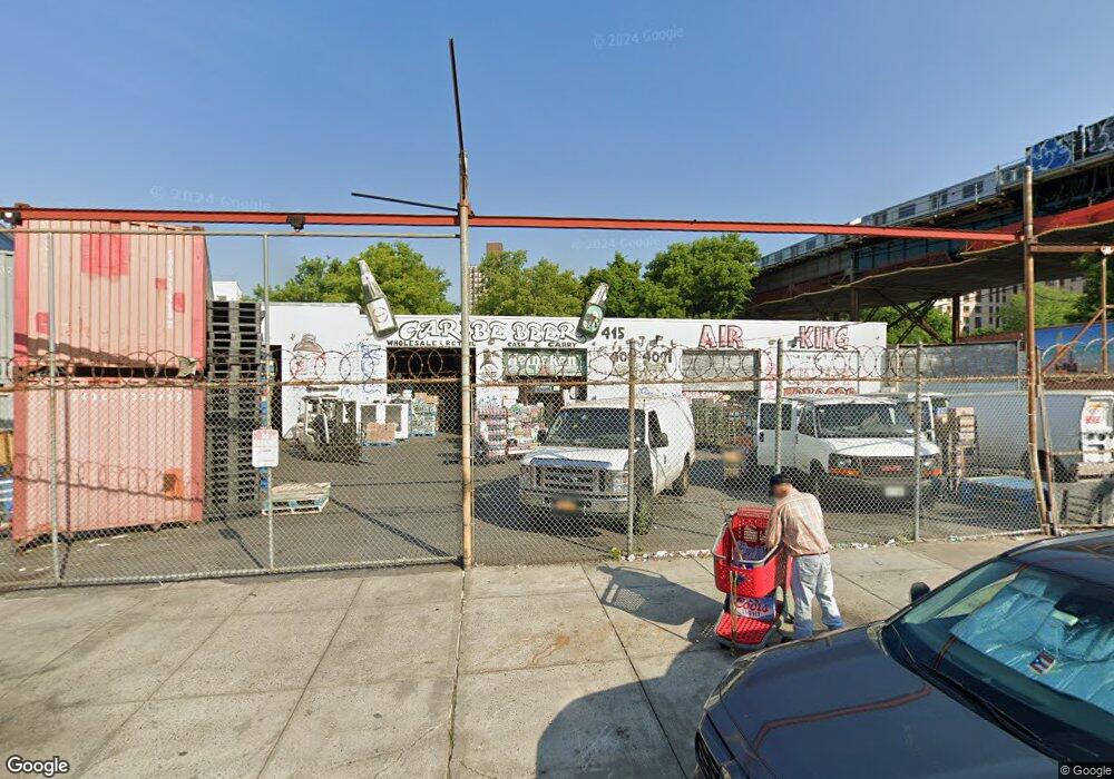
415 Devoe Ave Bronx, NY 10460
West Farms NeighborhoodEstimated Value: $2,096,887
Studio
--
Bath
6,300
Sq Ft
$333/Sq Ft
Est. Value
About This Home
This home is located at 415 Devoe Ave, Bronx, NY 10460 and is currently estimated at $2,096,887, approximately $332 per square foot. 415 Devoe Ave is a home located in Bronx County with nearby schools including P.S. 214 and P.S. 6 - West Farms.
Ownership History
Date
Name
Owned For
Owner Type
Purchase Details
Closed on
Jan 12, 2005
Sold by
Beer Boys Of Northern Boulevard Inc
Bought by
415 Devoe Avenue Llc
Current Estimated Value
Home Financials for this Owner
Home Financials are based on the most recent Mortgage that was taken out on this home.
Original Mortgage
$750,000
Outstanding Balance
$380,665
Interest Rate
5.83%
Mortgage Type
Commercial
Estimated Equity
$1,716,222
Create a Home Valuation Report for This Property
The Home Valuation Report is an in-depth analysis detailing your home's value as well as a comparison with similar homes in the area
Home Values in the Area
Average Home Value in this Area
Purchase History
| Date | Buyer | Sale Price | Title Company |
|---|---|---|---|
| 415 Devoe Avenue Llc | $1,050,000 | -- |
Source: Public Records
Mortgage History
| Date | Status | Borrower | Loan Amount |
|---|---|---|---|
| Open | 415 Devoe Avenue Llc | $750,000 |
Source: Public Records
Tax History
| Year | Tax Paid | Tax Assessment Tax Assessment Total Assessment is a certain percentage of the fair market value that is determined by local assessors to be the total taxable value of land and additions on the property. | Land | Improvement |
|---|---|---|---|---|
| 2025 | $29,790 | $273,150 | $150,300 | $122,850 |
| 2024 | $29,790 | $341,910 | $150,300 | $191,610 |
| 2023 | $30,948 | $290,700 | $150,300 | $140,400 |
| 2022 | $42,106 | $396,900 | $150,300 | $246,600 |
| 2021 | $35,659 | $333,450 | $150,300 | $183,150 |
| 2020 | $42,912 | $407,250 | $150,300 | $256,950 |
| 2019 | $41,967 | $399,150 | $150,300 | $248,850 |
| 2018 | $39,601 | $420,750 | $150,300 | $270,450 |
| 2017 | $36,487 | $433,800 | $150,300 | $283,500 |
| 2016 | $32,965 | $378,450 | $150,300 | $228,150 |
| 2015 | $11,211 | $376,200 | $150,300 | $225,900 |
| 2014 | $11,211 | $274,050 | $150,300 | $123,750 |
Source: Public Records
Map
Nearby Homes
- 1129 E Tremont Ave
- 372 Bronx Park Ave
- 977 E 179th St
- 1549 & 1547(Garage) Beach Ave
- 969 E 179th St
- 518 Morris Park Ave
- 1727 Van Buren St
- 960 E 181st St
- 500 van Nest Ave
- 946 E 181st St
- 0 Bronx River Ave
- 504 van Nest Ave
- 506 van Nest Ave
- 508 van Nest Ave
- 1898 Longfellow Ave Unit E3
- 1513 Rosedale Ave
- 2120 Daly Ave
- 1735 Mansion St
- 1601 Van Buren St
- 1713 Taylor Ave
- 1095 E Tremont Ave
- 1101 E Tremont Ave
- 1110 E 179th St
- 1087 E Tremont Ave
- 425-437 Devoe Ave
- 1112 E 179th St
- 426 Devoe Ave
- 1100-1108 E Tremont Ave
- 1121 E Tremont Ave
- 1115 E 179th St
- 1106 Lebanon St
- 1123 E Tremont Ave
- 1101 Wyatt St
- 420 E 179th St
- 1122 E 179th St
- 1119 E 179th St
- 2030 Boston Rd
- 2024 Boston Rd
- 1125 E Tremont Ave
- 1125 E Tremont Ave Unit Building
Your Personal Tour Guide
Ask me questions while you tour the home.