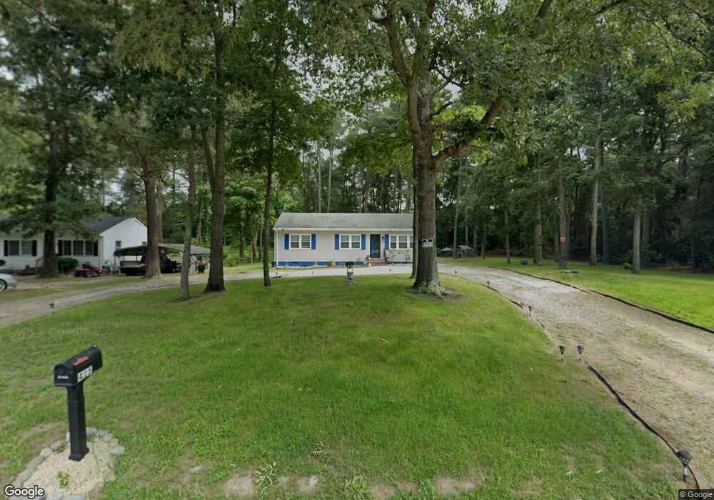
415 Dorsey Ln Salisbury, MD 21801
North Salisbury NeighborhoodEstimated Value: $145,836 - $204,000
--
Bed
1
Bath
1,056
Sq Ft
$171/Sq Ft
Est. Value
About This Home
This home is located at 415 Dorsey Ln, Salisbury, MD 21801 and is currently estimated at $180,209, approximately $170 per square foot. 415 Dorsey Ln is a home located in Wicomico County with nearby schools including West Salisbury Elementary School, North Salisbury Elementary School, and Salisbury Middle School.
Ownership History
Date
Name
Owned For
Owner Type
Purchase Details
Closed on
Dec 20, 2019
Sold by
Parker Anthony
Bought by
Parker Anthony and Watson Tionna
Current Estimated Value
Purchase Details
Closed on
Aug 1, 2019
Sold by
Deepree Delores C and Dutton Francine
Bought by
Dutton Mary F
Purchase Details
Closed on
Oct 20, 2011
Sold by
Dutton Mary F
Bought by
Deepree Delores C and Dutton Francine
Purchase Details
Closed on
Aug 29, 1980
Sold by
Tag Builders, Inc
Bought by
Dutton Mary F
Home Financials for this Owner
Home Financials are based on the most recent Mortgage that was taken out on this home.
Original Mortgage
$34,700
Interest Rate
12.95%
Create a Home Valuation Report for This Property
The Home Valuation Report is an in-depth analysis detailing your home's value as well as a comparison with similar homes in the area
Home Values in the Area
Average Home Value in this Area
Purchase History
| Date | Buyer | Sale Price | Title Company |
|---|---|---|---|
| Parker Anthony | -- | None Available | |
| Dutton Mary F | -- | None Available | |
| Deepree Delores C | -- | None Available | |
| Dutton Mary F | $4,000 | -- |
Source: Public Records
Mortgage History
| Date | Status | Borrower | Loan Amount |
|---|---|---|---|
| Previous Owner | Dutton Mary F | $34,700 |
Source: Public Records
Tax History Compared to Growth
Tax History
| Year | Tax Paid | Tax Assessment Tax Assessment Total Assessment is a certain percentage of the fair market value that is determined by local assessors to be the total taxable value of land and additions on the property. | Land | Improvement |
|---|---|---|---|---|
| 2025 | $653 | $104,200 | $0 | $0 |
| 2024 | $653 | $81,400 | $0 | $0 |
| 2023 | $639 | $58,600 | $17,700 | $40,900 |
| 2022 | $650 | $57,867 | $0 | $0 |
| 2021 | $643 | $57,133 | $0 | $0 |
| 2020 | $642 | $56,400 | $17,700 | $38,700 |
| 2019 | $590 | $56,400 | $17,700 | $38,700 |
| 2018 | $653 | $56,400 | $17,700 | $38,700 |
| 2017 | $934 | $57,100 | $0 | $0 |
| 2016 | $86 | $57,100 | $0 | $0 |
| 2015 | $86 | $57,100 | $0 | $0 |
| 2014 | $86 | $63,600 | $0 | $0 |
Source: Public Records
Map
Nearby Homes
- 414 Sarah Ln
- 1606 Towson Ave
- 1710 Wilson Ln Unit 1
- 516 Purnell St
- 1505 Jersey Rd
- 667 Cook Dr
- 650 Suffolk Ct
- 504 Swan Rd
- 1621 Waconia Dr
- 29015 Adventist Dr
- 29007 Adventist Dr
- 2130 Windsor Dr
- 1618 West Rd
- 1707 West Rd
- 1712 Severn St
- 0 Queen Ave Unit MDWC2006982
- JEFFERSON Plan at Sassafras Meadows
- 830 Mersey Ln
- 832 Mersey Ln
- 834 Mersey Ln