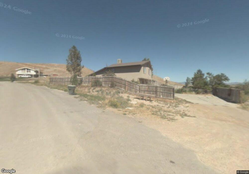
415 E 200 N Wellington, UT 84542
Estimated Value: $289,000 - $366,000
3
Beds
2
Baths
2,157
Sq Ft
$147/Sq Ft
Est. Value
About This Home
This home is located at 415 E 200 N, Wellington, UT 84542 and is currently estimated at $316,666, approximately $146 per square foot. 415 E 200 N is a home located in Carbon County with nearby schools including Wellington School, Mont Harmon Junior High School, and Carbon High School.
Ownership History
Date
Name
Owned For
Owner Type
Purchase Details
Closed on
Sep 24, 2020
Sold by
Bates Nicholas W and Bates Elizabeth Rose
Bought by
Anderson Garry
Current Estimated Value
Home Financials for this Owner
Home Financials are based on the most recent Mortgage that was taken out on this home.
Original Mortgage
$217,171
Outstanding Balance
$193,162
Interest Rate
2.9%
Mortgage Type
New Conventional
Estimated Equity
$123,504
Purchase Details
Closed on
Apr 11, 2012
Sold by
Bates Nicholas W
Bought by
Bates Nicholas W and Bates Elizabeth Rose
Home Financials for this Owner
Home Financials are based on the most recent Mortgage that was taken out on this home.
Original Mortgage
$134,489
Interest Rate
3.86%
Mortgage Type
New Conventional
Create a Home Valuation Report for This Property
The Home Valuation Report is an in-depth analysis detailing your home's value as well as a comparison with similar homes in the area
Home Values in the Area
Average Home Value in this Area
Purchase History
| Date | Buyer | Sale Price | Title Company |
|---|---|---|---|
| Anderson Garry | -- | South Eastern Utah Title Co | |
| Bates Nicholas W | -- | None Available | |
| Bates Nicholas W | -- | South Eastern Utah Title Co |
Source: Public Records
Mortgage History
| Date | Status | Borrower | Loan Amount |
|---|---|---|---|
| Open | Anderson Garry | $217,171 | |
| Previous Owner | Bates Nicholas W | $134,489 |
Source: Public Records
Tax History Compared to Growth
Tax History
| Year | Tax Paid | Tax Assessment Tax Assessment Total Assessment is a certain percentage of the fair market value that is determined by local assessors to be the total taxable value of land and additions on the property. | Land | Improvement |
|---|---|---|---|---|
| 2024 | $1,981 | $161,465 | $10,312 | $151,153 |
| 2023 | $1,411 | $121,645 | $10,627 | $111,018 |
| 2022 | $1,343 | $102,243 | $7,920 | $94,323 |
| 2021 | $2,784 | $182,619 | $14,688 | $167,931 |
| 2020 | $1,266 | $75,555 | $0 | $0 |
| 2019 | $997 | $61,464 | $0 | $0 |
| 2018 | $972 | $61,464 | $0 | $0 |
| 2017 | $958 | $61,464 | $0 | $0 |
| 2016 | $812 | $61,464 | $0 | $0 |
| 2015 | $812 | $61,464 | $0 | $0 |
| 2014 | $859 | $65,630 | $0 | $0 |
| 2013 | $870 | $65,630 | $0 | $0 |
Source: Public Records
Map
Nearby Homes
- 496 E Main St
- 157 E 100 N
- 55 200 E
- 150 S 500 E
- 140 S 600 E
- 760 E Pine St
- 750 E Pine St
- 275 S Maple St
- 810 S 500 W
- 100 W Cemetery Rd
- 485 S 100 E Unit 10
- 2773 Old Wellington Rd Unit 1
- 631 W Railroad Ave
- 510 W Highway Dr
- 1086 E Main St
- 800 W Highway Dr
- 0 Riverside Dr Unit 42
- 400 S 480 W Unit 14
- 5850 S 100 E
- 4190 E 2750 S