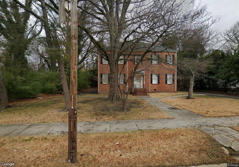
415 E Andrews Ave Henderson, NC 27536
Estimated Value: $237,000 - $406,492
4
Beds
2
Baths
5,136
Sq Ft
$66/Sq Ft
Est. Value
About This Home
This home is located at 415 E Andrews Ave, Henderson, NC 27536 and is currently estimated at $337,497, approximately $65 per square foot. 415 E Andrews Ave is a home located in Vance County with nearby schools including Pinkston Street Elementary School, Vance County High School, and Henderson Collegiate Public Charter School.
Ownership History
Date
Name
Owned For
Owner Type
Purchase Details
Closed on
Apr 13, 2010
Sold by
Jopchak John
Bought by
Rd Holding Company Llc
Current Estimated Value
Purchase Details
Closed on
Jul 20, 2009
Sold by
Tuscany Group Llc
Bought by
Hymes Darryl R
Home Financials for this Owner
Home Financials are based on the most recent Mortgage that was taken out on this home.
Original Mortgage
$138,000
Outstanding Balance
$89,838
Interest Rate
5.26%
Mortgage Type
Purchase Money Mortgage
Estimated Equity
$247,659
Create a Home Valuation Report for This Property
The Home Valuation Report is an in-depth analysis detailing your home's value as well as a comparison with similar homes in the area
Purchase History
| Date | Buyer | Sale Price | Title Company |
|---|---|---|---|
| Rd Holding Company Llc | $138,000 | -- | |
| Hymes Darryl R | $138,000 | -- |
Source: Public Records
Mortgage History
| Date | Status | Borrower | Loan Amount |
|---|---|---|---|
| Open | Hymes Darryl R | $138,000 |
Source: Public Records
Tax History
| Year | Tax Paid | Tax Assessment Tax Assessment Total Assessment is a certain percentage of the fair market value that is determined by local assessors to be the total taxable value of land and additions on the property. | Land | Improvement |
|---|---|---|---|---|
| 2025 | $6,276 | $417,655 | $24,295 | $393,360 |
| 2024 | $6,192 | $417,655 | $24,295 | $393,360 |
| 2023 | $2,474 | $121,586 | $10,637 | $110,949 |
| 2022 | $2,428 | $121,586 | $10,637 | $110,949 |
| 2021 | $1,948 | $121,586 | $10,637 | $110,949 |
| 2020 | $2,416 | $121,586 | $10,637 | $110,949 |
| 2019 | $2,396 | $121,586 | $10,637 | $110,949 |
| 2018 | $1,948 | $121,586 | $10,637 | $110,949 |
| 2017 | $2,368 | $121,586 | $10,637 | $110,949 |
| 2016 | $2,368 | $121,586 | $10,637 | $110,949 |
| 2015 | $1,933 | $113,040 | $27,000 | $86,040 |
| 2014 | $2,017 | $113,075 | $27,000 | $86,075 |
Source: Public Records
Map
Nearby Homes
- 713 Water St
- 880 Bridgers St
- 503 Adams St
- 431 Charles St
- 212 Charles St
- 128 Harrison Ave
- 936 Eaton St
- 628 Farrar Ave
- 630 East Ave
- 605 E Montgomery St
- 228 Crozier St Unit 228/230
- 315 Hamilton St
- 810 Vaughan St
- 332 Hamilton St
- 691-693 Boddie St
- 1061 N Pinkston St
- 231 Gary St
- 118 Cherry St
- 375 W Rockspring St
- 417 Sunnyview Rd
- 427 E Andrews Ave
- 431 E Andrews Ave
- 528 Highland Ave
- 530 Highland Ave
- 413 N Clark St
- 329 E Andrews Ave
- 417 N Clark St
- 527 Highland Ave
- 532 Highland Ave
- 321 E Andrews Ave
- 423 N Clark St
- 529 Highland Ave
- 408 Sunrise Ave
- 406 Sunrise Ave
- 328 E Andrews Ave
- 449 Norvell St
- 536 Highland Ave
- 506 E Andrews Ave
- 425 N Clark St
- 311 E Andrews Ave
Your Personal Tour Guide
Ask me questions while you tour the home.