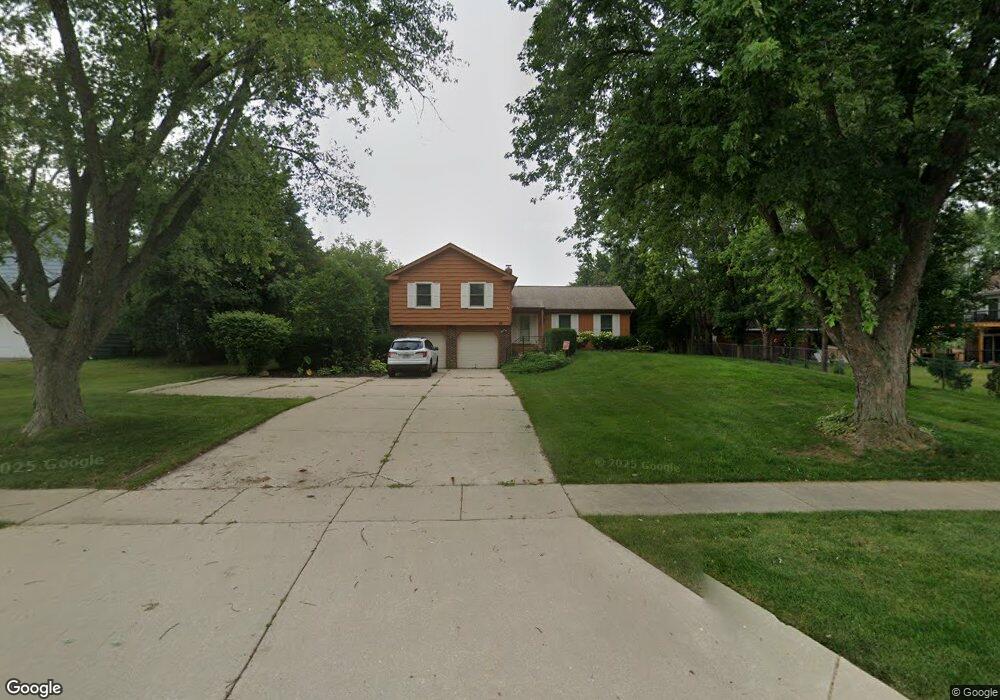
415 E Wise Rd Schaumburg, IL 60193
South Schaumburg NeighborhoodEstimated Value: $507,000 - $618,000
About This Home
This home is located at 415 E Wise Rd, Schaumburg, IL 60193 and is currently estimated at $577,860, approximately $270 per square foot. 415 E Wise Rd is a home located in Cook County with nearby schools including Frederick Nerge Elementary School, Margaret Mead Junior High School, and J B Conant High School.
Ownership History
We collect this data history from publicly available records. To have your information removed, we recommend requesting removal directly through your county’s website.
Purchase Details
Purchase Details
Home Values in the Area
Average Home Value in this Area
Purchase History
We collect this data history from publicly available records. To have your information removed, we recommend requesting removal directly through your county’s website.
| Date | Buyer | Sale Price | Title Company |
|---|---|---|---|
| -- | None Available | ||
| -- | -- |
Tax History
We collect this data history from publicly available records. To have your information removed, we recommend requesting removal directly through your county’s website.
| Year | Tax Paid | Tax Assessment Tax Assessment Total Assessment is a certain percentage of the fair market value that is determined by local assessors to be the total taxable value of land and additions on the property. | Land | Improvement |
|---|---|---|---|---|
| 2025 | $9,632 | $50,000 | $13,140 | $36,860 |
| 2024 | $9,632 | $40,351 | $11,680 | $28,671 |
| 2023 | $10,280 | $40,351 | $11,680 | $28,671 |
| 2022 | $10,280 | $44,000 | $11,680 | $32,320 |
| 2021 | $9,148 | $36,178 | $32,850 | $3,328 |
| 2020 | $9,113 | $36,178 | $32,850 | $3,328 |
| 2019 | $8,043 | $36,178 | $32,850 | $3,328 |
| 2018 | $8,530 | $34,607 | $27,740 | $6,867 |
| 2017 | $8,428 | $34,607 | $27,740 | $6,867 |
| 2016 | $8,377 | $34,607 | $27,740 | $6,867 |
| 2015 | $7,428 | $29,325 | $23,360 | $5,965 |
| 2014 | $7,374 | $29,325 | $23,360 | $5,965 |
| 2013 | $7,155 | $29,325 | $23,360 | $5,965 |
Map
- 1134 Jamestown Ct
- 1067 Glouchester Harbor Unit 2802
- 1070 Glouchester Harbor Unit 2502
- 1439 Blackhawk Dr
- 613 Thames Dr
- 1516 Sunset Dr
- 124 E Monterey Ave
- 826 Thornton Ct Unit 2AL
- 825 Thornton Ct Unit 2A
- 547 Newberry Dr
- 695 E Nerge Rd
- 199 E Nerge Rd
- 310 Jennifer Ln
- 626 Bryce Trail
- 800 Shawnee Trail
- 706 Huntington Ln
- 612 Glenn Ct
- 621 Cutter Ln
- 113 W Monterey Ave
- 603 John Ct
- 427 E Wise Rd Unit 2
- 433 E Wise Rd
- 1209 Summit Dr
- 1150 Rothbury Ct
- 1147 Durham Ct
- 1211 Summit Dr
- 501 E Wise Rd
- 1219 Summit Dr
- 1143 Durham Ct
- 1146 Rothbury Ct
- 1150 Durham Ct
- 1147 Rothbury Ct
- 420 E Niagara Ave
- 414 E Niagara Ave Unit 2
- 432 E Niagara Ave
- 505 E Wise Rd Unit 2
- 1139 Durham Ct
- 1142 Rothbury Ct
- 1227 Summit Dr
- 1146 Durham Ct
Ask me questions while you tour the home.