415 Forest Dr Unit 151517 Bridgeport, WV 26330
Estimated Value: $296,000 - $341,918
3
Beds
3
Baths
2,160
Sq Ft
$150/Sq Ft
Est. Value
About This Home
This home is located at 415 Forest Dr Unit 151517, Bridgeport, WV 26330 and is currently estimated at $323,730, approximately $149 per square foot. 415 Forest Dr Unit 151517 is a home located in Harrison County with nearby schools including Heritage Christian School.
Ownership History
Date
Name
Owned For
Owner Type
Purchase Details
Closed on
Sep 21, 2022
Sold by
Michael Pallay
Bought by
Amtower Mark R
Current Estimated Value
Home Financials for this Owner
Home Financials are based on the most recent Mortgage that was taken out on this home.
Original Mortgage
$213,500
Outstanding Balance
$203,637
Interest Rate
5.22%
Mortgage Type
New Conventional
Estimated Equity
$120,093
Create a Home Valuation Report for This Property
The Home Valuation Report is an in-depth analysis detailing your home's value as well as a comparison with similar homes in the area
Home Values in the Area
Average Home Value in this Area
Purchase History
| Date | Buyer | Sale Price | Title Company |
|---|---|---|---|
| Amtower Mark R | $305,000 | -- | |
| Amtower Mark R | $305,000 | None Listed On Document |
Source: Public Records
Mortgage History
| Date | Status | Borrower | Loan Amount |
|---|---|---|---|
| Open | Amtower Mark R | $213,500 | |
| Closed | Amtower Mark R | $213,500 |
Source: Public Records
Tax History Compared to Growth
Tax History
| Year | Tax Paid | Tax Assessment Tax Assessment Total Assessment is a certain percentage of the fair market value that is determined by local assessors to be the total taxable value of land and additions on the property. | Land | Improvement |
|---|---|---|---|---|
| 2025 | $1,972 | $169,260 | $26,400 | $142,860 |
| 2024 | $1,817 | $158,400 | $26,400 | $132,000 |
| 2023 | $1,817 | $129,360 | $26,400 | $102,960 |
| 2022 | $1,528 | $129,660 | $26,400 | $103,260 |
| 2021 | $1,494 | $128,280 | $26,400 | $101,880 |
| 2020 | $1,477 | $128,040 | $26,400 | $101,640 |
| 2019 | $1,472 | $127,560 | $26,400 | $101,160 |
| 2018 | $1,461 | $127,260 | $26,400 | $100,860 |
| 2017 | $1,433 | $125,340 | $26,400 | $98,940 |
| 2016 | $1,406 | $124,560 | $26,400 | $98,160 |
| 2015 | $1,350 | $118,860 | $23,100 | $95,760 |
| 2014 | $1,343 | $118,440 | $23,100 | $95,340 |
Source: Public Records
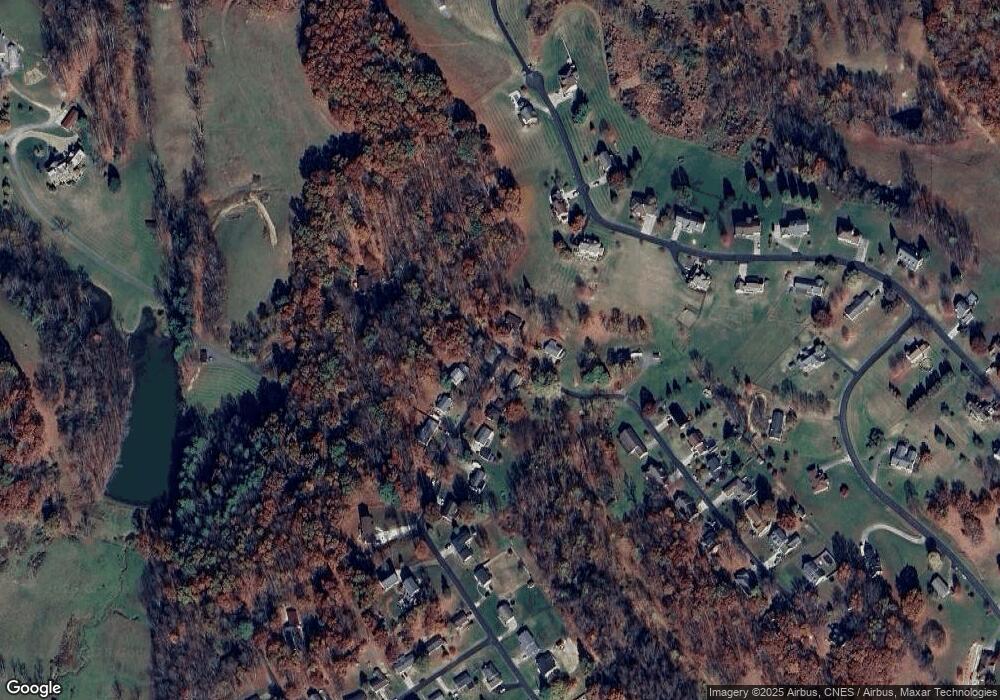
Map
Nearby Homes
- 111 Brentwood Dr
- 78 Lords Way
- TBD Heliport Loop
- TBD Benedum Dr
- 1094 Maple Lake Rd
- 98 Berkshire Cir
- 211 Berkshire Cir
- lot 10 Orvis Dr
- 114 Barrington Ct
- 35 Garnet Way
- 40 Barrington Ct
- 55 Barrington Ct
- 48 Turquoise Way
- 44 Ruby Dr
- Lot Way
- Lot 66 Turquoise Way
- Lot 67 Turquoise Way
- Lot 81 Turquoise Way
- Lot 86 Turquoise Way
- Lot 85 Turquoise Way
- 415 Forest Dr Unit A
- 413 Forest Dr
- 407 Forest Dr
- 403 Forest Dr
- 418 Forest Dr
- 410 Forest Dr
- 247 Forest Dr
- 416 Forest Dr
- 414 Forest Dr
- 194 Forest Dr
- 343 Forest Dr
- 4197 Wexford Way
- 372 Forest Dr
- 308 Walnut Dr
- 134 Forest Dr Unit A
- 317 Walnut Dr
- 4287 Wexford Way
- 375 Forest Dr
- 161 Forest Dr
- 4178 Wexford Way