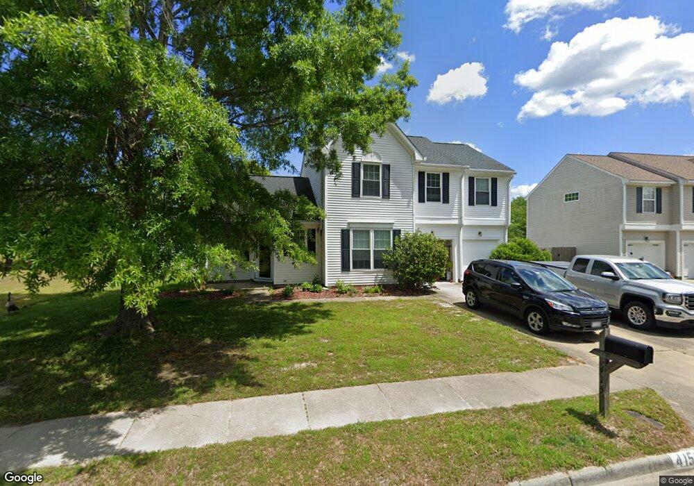
415 Iron Bridge Ln Chesapeake, VA 23323
Deep Creek-Portsmouth NeighborhoodEstimated Value: $477,332 - $526,000
4
Beds
3
Baths
2,010
Sq Ft
$247/Sq Ft
Est. Value
About This Home
This home is located at 415 Iron Bridge Ln, Chesapeake, VA 23323 and is currently estimated at $495,583, approximately $246 per square foot. 415 Iron Bridge Ln is a home located in Chesapeake City with nearby schools including Grassfield Elementary School, Hugo a Owens Middle, and Grassfield High School.
Ownership History
Date
Name
Owned For
Owner Type
Purchase Details
Closed on
Feb 7, 2002
Sold by
Meisner Erik C
Bought by
Mckenney David M
Current Estimated Value
Home Financials for this Owner
Home Financials are based on the most recent Mortgage that was taken out on this home.
Original Mortgage
$152,850
Outstanding Balance
$62,263
Interest Rate
6.85%
Mortgage Type
VA
Estimated Equity
$433,320
Create a Home Valuation Report for This Property
The Home Valuation Report is an in-depth analysis detailing your home's value as well as a comparison with similar homes in the area
Home Values in the Area
Average Home Value in this Area
Purchase History
| Date | Buyer | Sale Price | Title Company |
|---|---|---|---|
| Mckenney David M | $150,000 | -- |
Source: Public Records
Mortgage History
| Date | Status | Borrower | Loan Amount |
|---|---|---|---|
| Open | Mckenney David M | $152,850 |
Source: Public Records
Tax History Compared to Growth
Tax History
| Year | Tax Paid | Tax Assessment Tax Assessment Total Assessment is a certain percentage of the fair market value that is determined by local assessors to be the total taxable value of land and additions on the property. | Land | Improvement |
|---|---|---|---|---|
| 2025 | $4,544 | $457,500 | $185,000 | $272,500 |
| 2024 | $4,544 | $449,900 | $165,000 | $284,900 |
| 2023 | $4,268 | $422,600 | $135,000 | $287,600 |
| 2022 | $3,672 | $363,600 | $125,000 | $238,600 |
| 2021 | $3,282 | $312,600 | $105,000 | $207,600 |
| 2020 | $3,175 | $302,400 | $105,000 | $197,400 |
| 2019 | $3,005 | $286,200 | $105,000 | $181,200 |
| 2018 | $3,080 | $293,400 | $105,000 | $188,400 |
| 2017 | $2,796 | $266,300 | $95,000 | $171,300 |
| 2016 | $2,727 | $259,700 | $95,000 | $164,700 |
| 2015 | $2,687 | $255,900 | $102,000 | $153,900 |
| 2014 | $2,653 | $252,700 | $102,000 | $150,700 |
Source: Public Records
Map
Nearby Homes
- 212 Andiron Arch
- 3009 Patrick Henry Dr
- 449 Sawyers Mill Crossing
- 3111 Yuban St
- 828 Olmstead St
- 3115 Conservancy Dr
- 3101 Holly Ridge Dr
- 253 George Washington Hwy S
- 709 Phalarope St
- 3108 Old Rock St
- 3122 Old Rock St
- 421 Willow Bend Dr
- 743 Arbuckle St
- 3216 Meanley Dr
- 509 Lake Crest Dr
- 3308 Patrick Henry Dr
- 185 George Washington Hwy S
- 929 Skicoat St
- 415 Triton Trace
- 2130 Chesterfield Loop
- 413 Iron Bridge Ln
- 411 Iron Bridge Ln
- 416 Iron Bridge Ln
- 2800 Cistern Cir
- 2800 Cistern Cir Unit Cir
- 409 Iron Bridge Ln
- 2811 Sawyers Arch
- 2804 Cistern Cir
- 405 Lodge Cove
- 409 Lodge Cove
- 351 Big Pond Ln
- 347 Big Pond Ln
- 407 Iron Bridge Ln
- 2803 Sawyers Arch
- 355 Big Pond Ln
- 2801 Cistern Cir
- 401 Lodge Cove
- 2808 Cistern Cir
- 345 Big Pond Ln
- 343 Big Pond Ln