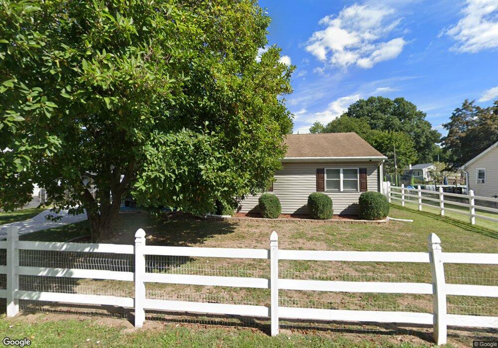
415 Logan Ave Croydon, PA 19021
Estimated Value: $345,000 - $393,000
3
Beds
1
Bath
1,512
Sq Ft
$249/Sq Ft
Est. Value
About This Home
This home is located at 415 Logan Ave, Croydon, PA 19021 and is currently estimated at $376,609, approximately $249 per square foot. 415 Logan Ave is a home located in Bucks County with nearby schools including Truman Senior High School, Doane Academy, and St. Mark Elementary School.
Ownership History
Date
Name
Owned For
Owner Type
Purchase Details
Closed on
Jun 30, 1999
Sold by
Venango Joseph P and Venango Geraldine M
Bought by
Salkowski John F and Salkowski Catherine R
Current Estimated Value
Home Financials for this Owner
Home Financials are based on the most recent Mortgage that was taken out on this home.
Original Mortgage
$124,433
Outstanding Balance
$34,387
Interest Rate
7.39%
Mortgage Type
FHA
Estimated Equity
$342,222
Purchase Details
Closed on
May 23, 1991
Bought by
Venango Joseph P and Venango Geraldine M
Create a Home Valuation Report for This Property
The Home Valuation Report is an in-depth analysis detailing your home's value as well as a comparison with similar homes in the area
Home Values in the Area
Average Home Value in this Area
Purchase History
| Date | Buyer | Sale Price | Title Company |
|---|---|---|---|
| Salkowski John F | $124,500 | -- | |
| Venango Joseph P | -- | -- |
Source: Public Records
Mortgage History
| Date | Status | Borrower | Loan Amount |
|---|---|---|---|
| Open | Salkowski John F | $124,433 |
Source: Public Records
Tax History
| Year | Tax Paid | Tax Assessment Tax Assessment Total Assessment is a certain percentage of the fair market value that is determined by local assessors to be the total taxable value of land and additions on the property. | Land | Improvement |
|---|---|---|---|---|
| 2025 | $5,388 | $19,840 | $3,720 | $16,120 |
| 2024 | $5,388 | $19,840 | $3,720 | $16,120 |
| 2023 | $5,348 | $19,840 | $3,720 | $16,120 |
| 2022 | $5,348 | $19,840 | $3,720 | $16,120 |
| 2021 | $5,348 | $19,840 | $3,720 | $16,120 |
| 2020 | $5,348 | $19,840 | $3,720 | $16,120 |
| 2019 | $5,328 | $19,840 | $3,720 | $16,120 |
| 2018 | $5,243 | $19,840 | $3,720 | $16,120 |
| 2017 | $5,163 | $19,840 | $3,720 | $16,120 |
| 2016 | $5,163 | $19,840 | $3,720 | $16,120 |
| 2015 | $3,730 | $19,840 | $3,720 | $16,120 |
| 2014 | $3,730 | $19,840 | $3,720 | $16,120 |
Source: Public Records
Map
Nearby Homes
- 2307 State Rd
- 200 Janet Ave
- 730 Excelsior Ave
- 1103 Nancy Dr
- 3 McLevins Ct
- 1012 Franklin Ave
- 10 McLevins Ct
- 910 Magnolia Ave
- 316 Newport Rd
- 805 State Rd
- 618 Cedar Ave
- 807 Arthur Ave
- 619 First Ave
- 0 Newportville Rd Unit PABU2115306
- 904 Arthur Ave
- 1005 Arthur Ave
- 535 Princess Ave
- 530 Main Ave
- 1511 Moore St Unit 301
- 909 Third Ave
Your Personal Tour Guide
Ask me questions while you tour the home.