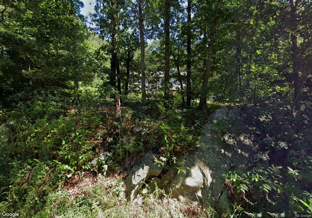
415 Madison St Wrentham, MA 02093
Estimated Value: $656,166 - $685,000
3
Beds
2
Baths
2,109
Sq Ft
$318/Sq Ft
Est. Value
About This Home
This home is located at 415 Madison St, Wrentham, MA 02093 and is currently estimated at $671,292, approximately $318 per square foot. 415 Madison St is a home located in Norfolk County with nearby schools including Delaney Elementary School, Charles E Roderick, and Cadence Academy Preschool - North Attleborough.
Ownership History
Date
Name
Owned For
Owner Type
Purchase Details
Closed on
Jun 29, 1982
Bought by
Villano Denise
Current Estimated Value
Create a Home Valuation Report for This Property
The Home Valuation Report is an in-depth analysis detailing your home's value as well as a comparison with similar homes in the area
Home Values in the Area
Average Home Value in this Area
Purchase History
| Date | Buyer | Sale Price | Title Company |
|---|---|---|---|
| Villano Denise | -- | -- |
Source: Public Records
Mortgage History
| Date | Status | Borrower | Loan Amount |
|---|---|---|---|
| Open | Villano Denise | $100,000 | |
| Closed | Villano Denise | $75,000 |
Source: Public Records
Tax History Compared to Growth
Tax History
| Year | Tax Paid | Tax Assessment Tax Assessment Total Assessment is a certain percentage of the fair market value that is determined by local assessors to be the total taxable value of land and additions on the property. | Land | Improvement |
|---|---|---|---|---|
| 2025 | $6,354 | $548,200 | $295,600 | $252,600 |
| 2024 | $6,029 | $502,400 | $295,600 | $206,800 |
| 2023 | $5,741 | $454,900 | $268,600 | $186,300 |
| 2022 | $5,333 | $390,100 | $230,500 | $159,600 |
| 2021 | $5,089 | $361,700 | $242,200 | $119,500 |
| 2020 | $4,946 | $347,100 | $171,400 | $175,700 |
| 2019 | $4,641 | $328,700 | $164,000 | $164,700 |
| 2018 | $4,671 | $328,000 | $164,100 | $163,900 |
| 2017 | $4,413 | $309,700 | $161,000 | $148,700 |
| 2016 | $4,562 | $319,500 | $173,600 | $145,900 |
| 2015 | $4,197 | $280,200 | $151,800 | $128,400 |
| 2014 | $4,152 | $271,200 | $146,000 | $125,200 |
Source: Public Records
Map
Nearby Homes
- 120 Hawes St
- 483 Thurston St
- 319 Taunton St
- 362 East St
- 65 Pond St
- 10 Nature View Dr
- 15 Nature View Dr
- 1 Lorraine Metcalf Dr
- 11 Earle Stewart Ln
- Lot 1 - Blueberry 2 Car Plan at King Philip Estates
- Lot 8 - Blueberry 2 Car Plan at King Philip Estates
- Lot 5 - Hughes 2 car Plan at King Philip Estates
- Lot 6 - Blueberry 3 Car Plan at King Philip Estates
- Lot 2 - Camden 2 Car Plan at King Philip Estates
- Lot 7 - Cedar Plan at King Philip Estates
- Lot 4 - Hemingway 2 Car Plan at King Philip Estates
- Lot 3 - Blueberry 2 Car Plan at King Philip Estates
- Lot 3 - 14 Earle Stewart Ln
- 270 Dedham St
- 131 Creek St Unit 7
- 405 Madison St
- 425 Madison St
- 380 Madison St
- 435 Madison St
- 385 Madison St
- 420 Madison St
- 375 Madison St
- 378 Madison St
- 445 Madison St
- 369 Madison St
- 440 Madison St
- 376 Madison St
- 460 Madison St
- 359 Madison St
- 471 Madison St
- 10 Stoney Brook Ln
- 354 Madison St
- 20 Stoney Brook Ln
- 400 Madison St
- 345 Madison St