415 Main St Dunbar, PA 15431
Franklin Township NeighborhoodEstimated Value: $25,485 - $93,000
3
Beds
1
Bath
1,197
Sq Ft
$55/Sq Ft
Est. Value
About This Home
This home is located at 415 Main St, Dunbar, PA 15431 and is currently estimated at $65,371, approximately $54 per square foot. 415 Main St is a home with nearby schools including Uniontown Area Senior High School and Apostolic Christian Academy.
Ownership History
Date
Name
Owned For
Owner Type
Purchase Details
Closed on
Sep 2, 2020
Sold by
Richter Jerry D and Richter John H
Bought by
Fordyce David N
Current Estimated Value
Home Financials for this Owner
Home Financials are based on the most recent Mortgage that was taken out on this home.
Original Mortgage
$16,500
Outstanding Balance
$11,800
Interest Rate
3%
Mortgage Type
New Conventional
Estimated Equity
$53,571
Purchase Details
Closed on
Jan 1, 1968
Bought by
Richter John R and Richter Betty L
Create a Home Valuation Report for This Property
The Home Valuation Report is an in-depth analysis detailing your home's value as well as a comparison with similar homes in the area
Home Values in the Area
Average Home Value in this Area
Purchase History
| Date | Buyer | Sale Price | Title Company |
|---|---|---|---|
| Fordyce David N | $18,000 | None Available | |
| Richter John R | -- | -- |
Source: Public Records
Mortgage History
| Date | Status | Borrower | Loan Amount |
|---|---|---|---|
| Open | Fordyce David N | $16,500 |
Source: Public Records
Tax History Compared to Growth
Tax History
| Year | Tax Paid | Tax Assessment Tax Assessment Total Assessment is a certain percentage of the fair market value that is determined by local assessors to be the total taxable value of land and additions on the property. | Land | Improvement |
|---|---|---|---|---|
| 2025 | $484 | $19,005 | $6,600 | $12,405 |
| 2024 | $461 | $19,005 | $6,600 | $12,405 |
| 2023 | $923 | $19,005 | $6,600 | $12,405 |
| 2022 | $923 | $19,005 | $6,600 | $12,405 |
| 2021 | $923 | $19,005 | $6,600 | $12,405 |
| 2020 | $901 | $19,005 | $6,600 | $12,405 |
| 2019 | $836 | $19,005 | $6,600 | $12,405 |
| 2018 | $791 | $19,005 | $6,600 | $12,405 |
| 2017 | $791 | $19,005 | $6,600 | $12,405 |
| 2016 | -- | $19,005 | $6,600 | $12,405 |
| 2015 | -- | $19,005 | $6,600 | $12,405 |
| 2014 | -- | $38,010 | $13,200 | $24,810 |
Source: Public Records
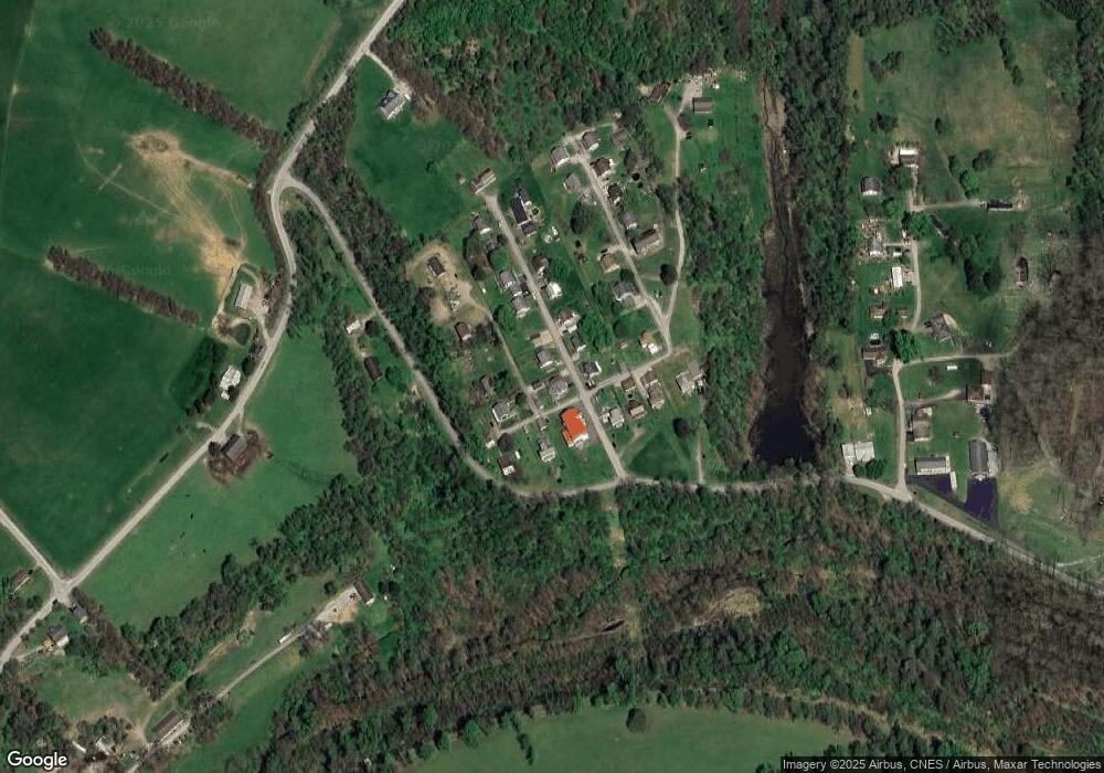
Map
Nearby Homes
- 405 1st St
- LR26026-NR Bitner Rd
- 235 Little Summit Rd
- 1047 Cinder Rd
- 3117 W Crawford Ave
- 349 Vanderbilt Rd
- SR 51 Vances Mill Rd
- 135 Friendship Ln
- 0 Bethelboro Rd
- 242 Union St
- 65 Sandrock Rd
- 199 Water St
- 237 Front St
- 545 Vanderbilt Rd
- 109 Laughlin St
- 111 Laughlin St
- 605 Howell St
- 504 Howell St
- 217 Virgin Run Rd
- 220 Oglevee Ln