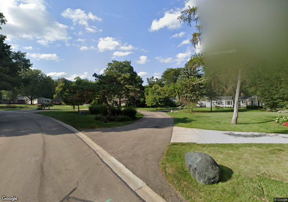
415 Maple Ln Batavia, IL 60510
Northwest Batavia NeighborhoodEstimated Value: $449,965 - $508,000
4
Beds
--
Bath
2,312
Sq Ft
$212/Sq Ft
Est. Value
About This Home
This home is located at 415 Maple Ln, Batavia, IL 60510 and is currently estimated at $489,741, approximately $211 per square foot. 415 Maple Ln is a home located in Kane County with nearby schools including H C Storm Elementary School, Sam Rotolo Middle School, and Batavia Sr High School.
Ownership History
Date
Name
Owned For
Owner Type
Purchase Details
Closed on
Apr 17, 2023
Sold by
Hollmeier Nancy
Bought by
Nancy Hollmeier Trust
Current Estimated Value
Purchase Details
Closed on
Oct 1, 1999
Sold by
Peterson Delbert and Peterson Jeanne
Bought by
Hollmeier Nancy
Home Financials for this Owner
Home Financials are based on the most recent Mortgage that was taken out on this home.
Original Mortgage
$216,000
Interest Rate
6.85%
Create a Home Valuation Report for This Property
The Home Valuation Report is an in-depth analysis detailing your home's value as well as a comparison with similar homes in the area
Home Values in the Area
Average Home Value in this Area
Purchase History
| Date | Buyer | Sale Price | Title Company |
|---|---|---|---|
| Nancy Hollmeier Trust | -- | None Listed On Document | |
| Hollmeier Nancy | $277,500 | Chicago Title Insurance Co |
Source: Public Records
Mortgage History
| Date | Status | Borrower | Loan Amount |
|---|---|---|---|
| Previous Owner | Hollmeier Nancy | $216,000 |
Source: Public Records
Tax History
| Year | Tax Paid | Tax Assessment Tax Assessment Total Assessment is a certain percentage of the fair market value that is determined by local assessors to be the total taxable value of land and additions on the property. | Land | Improvement |
|---|---|---|---|---|
| 2024 | $8,849 | $127,927 | $53,489 | $74,438 |
| 2023 | $8,590 | $116,107 | $48,547 | $67,560 |
| 2022 | $8,515 | $108,511 | $45,371 | $63,140 |
| 2021 | $7,665 | $97,468 | $43,030 | $54,438 |
| 2020 | $7,167 | $95,595 | $42,203 | $53,392 |
| 2019 | $7,324 | $92,211 | $40,709 | $51,502 |
| 2018 | $7,403 | $93,049 | $43,509 | $49,540 |
| 2017 | $7,206 | $89,980 | $42,074 | $47,906 |
| 2016 | $7,036 | $87,360 | $40,849 | $46,511 |
| 2015 | -- | $85,371 | $39,919 | $45,452 |
| 2014 | -- | $82,683 | $38,662 | $44,021 |
| 2013 | -- | $85,282 | $42,120 | $43,162 |
Source: Public Records
Map
Nearby Homes
- 323 Illinois Ave
- 705 W Fabyan Pkwy
- 107 N Mallory Ave
- 109 N Van Nortwick Ave
- 982 Houston St
- 1062 Houston St Unit 74004
- 1054 Houston St Unit 89004
- 1058 Houston St Unit 74003
- 918 Houston St
- 950 Houston St
- 934 Houston St
- 966 Houston St
- 820 N Van Buren St
- 417 N Van Buren St
- 974 Houston St
- 545 Blackhawk Dr Unit 2
- 330 First St
- 1071 Houston St Unit 89003
- 345 Main St
- 119 Furnas Dr
Your Personal Tour Guide
Ask me questions while you tour the home.