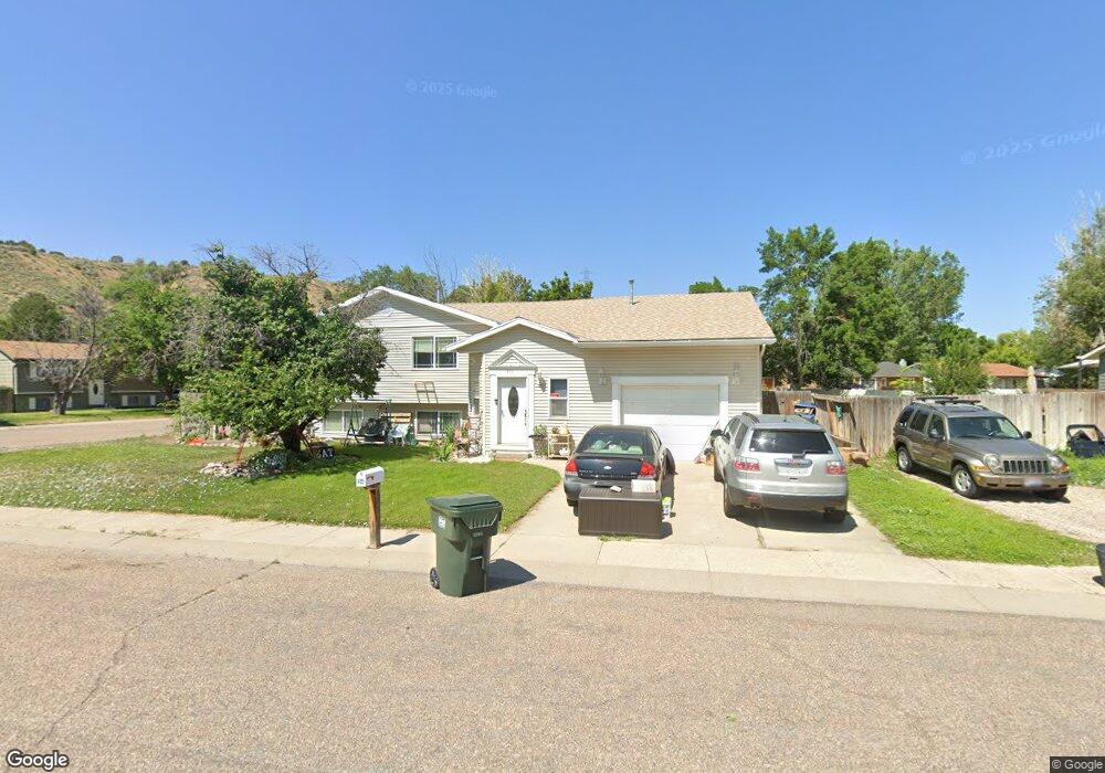
415 Mattwood Dr Pocatello, ID 83204
West Pocatello NeighborhoodEstimated Value: $347,000 - $364,356
5
Beds
2
Baths
2,536
Sq Ft
$141/Sq Ft
Est. Value
About This Home
This home is located at 415 Mattwood Dr, Pocatello, ID 83204 and is currently estimated at $357,089, approximately $140 per square foot. 415 Mattwood Dr is a home located in Bannock County with nearby schools including Indian Hills Elementary School, Irving Middle School, and Pocatello High School.
Ownership History
Date
Name
Owned For
Owner Type
Purchase Details
Closed on
Jul 23, 2015
Sold by
Line Darrel R and Line Kim
Bought by
Line Darrel R
Current Estimated Value
Home Financials for this Owner
Home Financials are based on the most recent Mortgage that was taken out on this home.
Original Mortgage
$135,400
Outstanding Balance
$106,127
Interest Rate
4.01%
Mortgage Type
New Conventional
Estimated Equity
$250,962
Purchase Details
Closed on
May 10, 2011
Sold by
Mcarthur William H and Mcarthur Sandra C
Bought by
Line Darrel and Line Kim
Home Financials for this Owner
Home Financials are based on the most recent Mortgage that was taken out on this home.
Original Mortgage
$136,400
Interest Rate
4.77%
Mortgage Type
VA
Create a Home Valuation Report for This Property
The Home Valuation Report is an in-depth analysis detailing your home's value as well as a comparison with similar homes in the area
Home Values in the Area
Average Home Value in this Area
Purchase History
| Date | Buyer | Sale Price | Title Company |
|---|---|---|---|
| Line Darrel R | -- | Pioneer Title | |
| Line Darrel | -- | -- |
Source: Public Records
Mortgage History
| Date | Status | Borrower | Loan Amount |
|---|---|---|---|
| Open | Line Darrel R | $135,400 | |
| Closed | Line Darrel | $136,400 |
Source: Public Records
Tax History Compared to Growth
Tax History
| Year | Tax Paid | Tax Assessment Tax Assessment Total Assessment is a certain percentage of the fair market value that is determined by local assessors to be the total taxable value of land and additions on the property. | Land | Improvement |
|---|---|---|---|---|
| 2024 | $2,209 | $287,592 | $60,000 | $227,592 |
| 2023 | $2,582 | $315,810 | $60,000 | $255,810 |
| 2022 | $2,582 | $248,825 | $40,000 | $208,825 |
| 2021 | $2,114 | $248,825 | $40,000 | $208,825 |
| 2020 | $1,487 | $186,515 | $29,160 | $157,355 |
| 2019 | $1,749 | $178,951 | $36,000 | $142,951 |
| 2018 | $1,629 | $145,146 | $24,000 | $121,146 |
| 2017 | $1,616 | $145,146 | $24,000 | $121,146 |
| 2016 | $1,603 | $145,146 | $24,000 | $121,146 |
| 2015 | $1,648 | $0 | $0 | $0 |
| 2012 | -- | $147,862 | $24,000 | $123,862 |
Source: Public Records
Map
Nearby Homes
- 1800 S Grant Ave
- 1957 S 1st Ave
- 1601 S 2nd Ave
- 1968 S 1st Ave
- 1258 S 3rd Ave
- 807 S Harrison Ave
- 231 ACRES S 5th Ave
- 00 S 5th Ave
- 1935 S 5th Ave Unit B11
- 631 S Hayes Ave
- 825 S 3rd Ave
- 841 S 4th Ave
- 515 W Benton St
- 840 S 4th Ave
- 441 S Grant Ave
- 635 S 4th Ave
- 347 S Grant Ave
- 531 W Bonneville St
- 2548 S 2nd Ave
- 226 S Johnson Ave
- 415 Mattwood Dr
- 466 Kurtwood Dr
- 405 Mattwood Dr
- 458 Kurtwood Dr
- 430 Mattwood Dr
- 420 Mattwood Dr
- 485 Kurtwood Dr
- 391 Mattwood Dr
- 491 Kurtwood Dr
- 473 Kurtwood Dr
- 410 Mattwood Dr
- 444 Mattwood Dr
- 450 Kurtwood Dr
- 471 Kurtwood Dr
- 495 Kurtwood Dr
- 377 Mattwood Dr
- 467 Kurtwood Dr
- 400 Mattwood Dr
- 499 Mattwood Dr
- 442 Kurtwood Dr