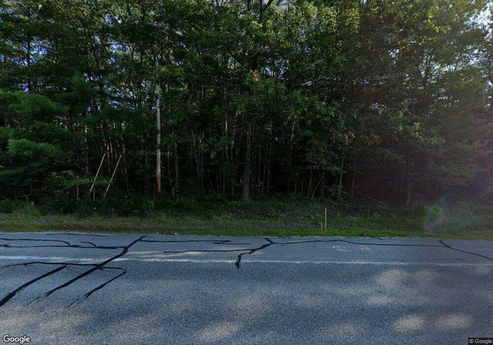
415 N High St Bridgton, ME 04009
Estimated Value: $303,987 - $443,000
3
Beds
2
Baths
1,732
Sq Ft
$227/Sq Ft
Est. Value
About This Home
This home is located at 415 N High St, Bridgton, ME 04009 and is currently estimated at $393,247, approximately $227 per square foot. 415 N High St is a home located in Cumberland County with nearby schools including Lake Region High School.
Ownership History
Date
Name
Owned For
Owner Type
Purchase Details
Closed on
Sep 10, 2024
Sold by
Peavey Barbara
Bought by
Barbara Peavey Irt and Peavey
Current Estimated Value
Purchase Details
Closed on
Oct 25, 2016
Sold by
Peavey Barbara
Bought by
Peavey Barbara and Peavey Theresa L
Purchase Details
Closed on
Jul 2, 2007
Sold by
Ferguson Patricia and Indymac Bank Fsb
Bought by
Deutsche Bk Natl T Co Tr
Create a Home Valuation Report for This Property
The Home Valuation Report is an in-depth analysis detailing your home's value as well as a comparison with similar homes in the area
Home Values in the Area
Average Home Value in this Area
Purchase History
| Date | Buyer | Sale Price | Title Company |
|---|---|---|---|
| Barbara Peavey Irt | -- | None Available | |
| Barbara Peavey Irt | -- | None Available | |
| Peavey Barbara | -- | -- | |
| Deutsche Bk Natl T Co Tr | -- | -- | |
| Peavey Barbara | -- | -- |
Source: Public Records
Tax History Compared to Growth
Tax History
| Year | Tax Paid | Tax Assessment Tax Assessment Total Assessment is a certain percentage of the fair market value that is determined by local assessors to be the total taxable value of land and additions on the property. | Land | Improvement |
|---|---|---|---|---|
| 2024 | $2,481 | $145,490 | $40,417 | $105,073 |
| 2023 | $2,502 | $145,490 | $40,417 | $105,073 |
| 2022 | $2,211 | $145,490 | $40,417 | $105,073 |
| 2021 | $2,153 | $145,490 | $40,417 | $105,073 |
| 2020 | $2,175 | $145,490 | $40,417 | $105,073 |
| 2019 | $2,182 | $145,490 | $40,417 | $105,073 |
| 2018 | $2,153 | $145,490 | $40,417 | $105,073 |
| 2017 | $2,226 | $145,490 | $40,417 | $105,073 |
| 2016 | $2,161 | $145,490 | $40,417 | $105,073 |
| 2015 | $2,605 | $189,423 | $51,417 | $138,006 |
| 2014 | $2,663 | $189,423 | $51,417 | $138,006 |
Source: Public Records
Map
Nearby Homes
- 15 Rileys Run
- 133 Hio Ridge Rd
- Lot 81A Milbrook Rd
- Lot 15-3B Sweden Rd
- Lot 15-3A Sweden Rd
- 222 N High St
- 665 N High St
- 17 Dyvonne Terrace
- 60 Evergreen Rd
- 699 N North High St
- 13 Muirfield Dr Unit 13
- 10 Gallinari Way
- 13 Gallinari Way
- Lot 3 Jameson Dr
- 61 Meade Ln
- 380 Hio Ridge Rd
- 2 Jameson Dr
- 0 Whitney Rd Unit 1623610
- 20 N High St
- 105 Highland Pines Rd
- 425 N High St
- 414 N High St
- 0 Hio Ridge Unit 863688
- 0 Hio Ridge Unit 852144
- 0 Hio Ridge Unit 838709
- 0 Hio Ridge Unit 836347
- 0 Hio Ridge Unit 812867
- 0 Hio Ridge Unit 812800
- 0 Hio Ridge Unit 773068
- 0 Hio Ridge Unit 670459
- 0 Hio Ridge Unit 644249
- 0 Hio Ridge Unit 591943
- 0 Hio Ridge Unit 511545
- 0 Hio Ridge Unit 477419
- 0 Hio Ridge Unit 313906
- 0 Hio Ridge Unit 783385
- 0 Hio Ridge Unit 783388
- 0 Hio Ridge Unit 783380
- 0 Hio Ridge Unit 681639
- 0 Hio Ridge Unit 628231
