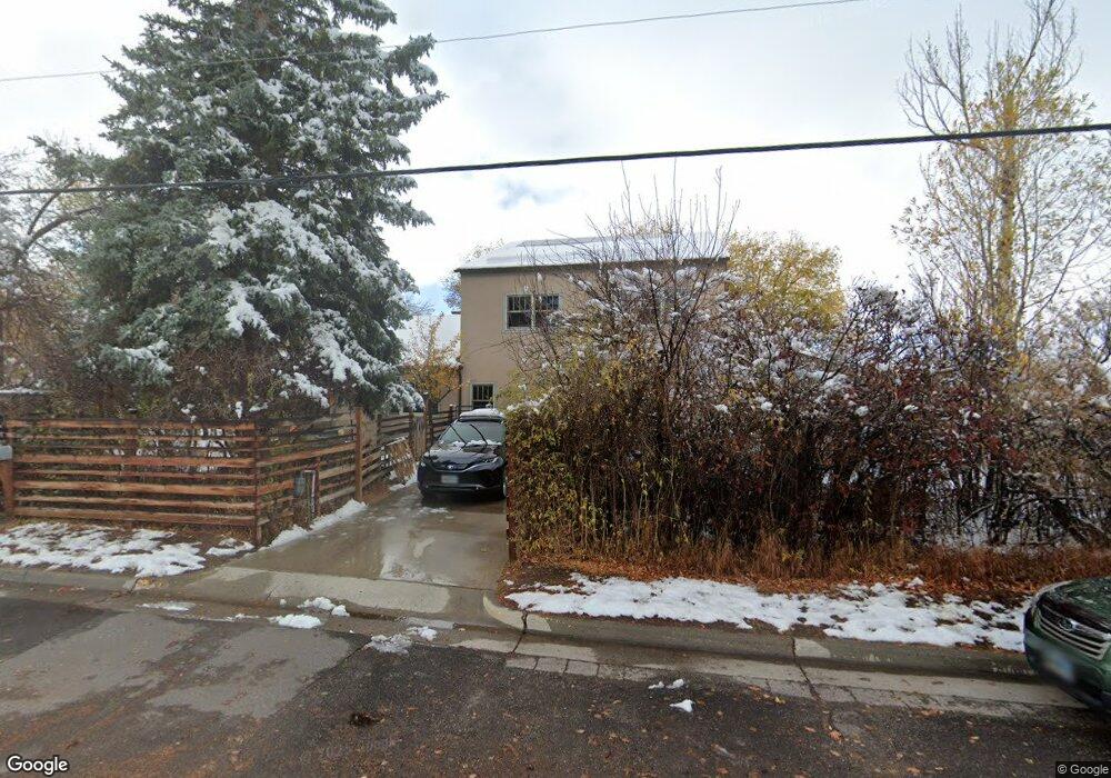
415 S 7th St Lander, WY 82520
Estimated Value: $473,000 - $675,000
3
Beds
2
Baths
3,350
Sq Ft
$172/Sq Ft
Est. Value
About This Home
This home is located at 415 S 7th St, Lander, WY 82520 and is currently estimated at $577,450, approximately $172 per square foot. 415 S 7th St is a home located in Fremont County with nearby schools including Lander Valley High School and Lander Christian Academy.
Ownership History
Date
Name
Owned For
Owner Type
Purchase Details
Closed on
Oct 24, 2016
Sold by
Hunker Louisa M and Storm Nicholas C
Bought by
Hunkerstorm Nicholas Cameron and Hunkerstorm Louisa Marie
Current Estimated Value
Purchase Details
Closed on
Oct 31, 2014
Sold by
Franch Caroline and Ruby Nancy Katherine
Bought by
Hunker Louisa M and Storm Nicholas C
Purchase Details
Closed on
Mar 31, 2014
Sold by
Paulson Gary L
Bought by
Hunker Louisa M and Storm Nicholas C
Create a Home Valuation Report for This Property
The Home Valuation Report is an in-depth analysis detailing your home's value as well as a comparison with similar homes in the area
Home Values in the Area
Average Home Value in this Area
Purchase History
| Date | Buyer | Sale Price | Title Company |
|---|---|---|---|
| Hunkerstorm Nicholas Cameron | -- | None Available | |
| Hunker Louisa M | -- | None Available | |
| Hunker Louisa M | -- | First American Title Ins Co | |
| Hunker Louisa M | -- | First American Title Ins Co |
Source: Public Records
Tax History Compared to Growth
Tax History
| Year | Tax Paid | Tax Assessment Tax Assessment Total Assessment is a certain percentage of the fair market value that is determined by local assessors to be the total taxable value of land and additions on the property. | Land | Improvement |
|---|---|---|---|---|
| 2025 | $4,196 | $42,184 | $5,579 | $36,605 |
| 2024 | $4,196 | $54,367 | $7,438 | $46,929 |
| 2023 | $3,983 | $52,022 | $6,898 | $45,124 |
| 2022 | $3,539 | $47,245 | $6,898 | $40,347 |
| 2021 | $3,211 | $41,487 | $5,758 | $35,729 |
| 2020 | $2,952 | $38,207 | $5,758 | $32,449 |
| 2019 | $2,916 | $37,141 | $5,741 | $31,400 |
| 2018 | $2,832 | $35,687 | $5,741 | $29,946 |
| 2017 | $2,801 | $35,198 | $5,741 | $29,457 |
| 2016 | $2,284 | $28,748 | $5,724 | $23,024 |
| 2015 | $2,154 | $28,273 | $5,724 | $22,549 |
| 2014 | $2,154 | $25,643 | $5,724 | $19,919 |
Source: Public Records
Map
Nearby Homes
- 426 S 7th St
- 397 S 7th St
- 467 S 7th St
- 690 Popo Agie St
- 690 Popo Agie St Unit 360 South 7th Street
- 696 Canyon St
- 710 Canyon St
- 750 Canyon St
- 370 S 7th St
- 680 Canyon St
- 360 S 7th St
- 756 Canyon St
- 345 S 7th St
- 350 S 7th St
- 670 Canyon St
- 340 S 7th St
- 646 Popo Agie St
- 760 Canyon St
- 719 Sweetwater St
- 776 Canyon St