415 Teal Ct Unit 6 Moorestown, NJ 08057
Estimated Value: $899,287 - $1,121,000
--
Bed
--
Bath
4,396
Sq Ft
$236/Sq Ft
Est. Value
About This Home
This home is located at 415 Teal Ct Unit 6, Moorestown, NJ 08057 and is currently estimated at $1,038,429, approximately $236 per square foot. 415 Teal Ct Unit 6 is a home located in Burlington County with nearby schools including South Valley Elementary School, Moorestown Upper Elementary School, and William Allen Middle School.
Ownership History
Date
Name
Owned For
Owner Type
Purchase Details
Closed on
May 4, 2000
Sold by
Kaye Stephen C and Kaye Helen D
Bought by
Lampman John E and Lampman Nancy R
Current Estimated Value
Purchase Details
Closed on
Apr 18, 1996
Sold by
Kaye Stephen C and Kaye Helen D
Bought by
Kaye Stephen C and Kaye Helen D
Create a Home Valuation Report for This Property
The Home Valuation Report is an in-depth analysis detailing your home's value as well as a comparison with similar homes in the area
Home Values in the Area
Average Home Value in this Area
Purchase History
| Date | Buyer | Sale Price | Title Company |
|---|---|---|---|
| Lampman John E | $487,500 | Infinity Title Agency Inc | |
| Kaye Stephen C | -- | -- |
Source: Public Records
Tax History Compared to Growth
Tax History
| Year | Tax Paid | Tax Assessment Tax Assessment Total Assessment is a certain percentage of the fair market value that is determined by local assessors to be the total taxable value of land and additions on the property. | Land | Improvement |
|---|---|---|---|---|
| 2025 | $15,677 | $552,600 | $150,000 | $402,600 |
| 2024 | $15,202 | $552,600 | $150,000 | $402,600 |
| 2023 | $15,202 | $552,600 | $150,000 | $402,600 |
| 2022 | $15,047 | $552,600 | $150,000 | $402,600 |
| 2021 | $14,848 | $552,600 | $150,000 | $402,600 |
| 2020 | $14,754 | $552,600 | $150,000 | $402,600 |
| 2019 | $14,495 | $552,600 | $150,000 | $402,600 |
| 2018 | $14,102 | $552,600 | $150,000 | $402,600 |
| 2017 | $14,224 | $552,600 | $150,000 | $402,600 |
| 2016 | $14,174 | $552,600 | $150,000 | $402,600 |
| 2015 | $14,003 | $552,600 | $150,000 | $402,600 |
| 2014 | $13,296 | $552,600 | $150,000 | $402,600 |
Source: Public Records
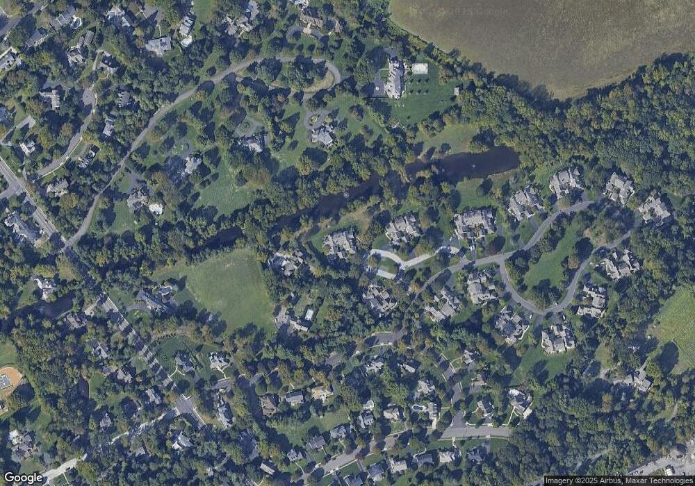
Map
Nearby Homes
- 413 Teal Ct
- 411 Teal Ct Unit 4
- 421 Teal Ct Unit 7
- 423 Mallard Ln Unit 8
- 415 E Oak Ave
- 425 Mallard Ln
- 405 Teal Ct
- 403 Mallard Ln Unit 2
- 401 Mallard Ln
- 406 Pond View Dr
- 402 Windrow Clusters Dr Unit 42
- 400 Windrow Clusters Dr
- 404 Windrow Clusters Dr Unit 41
- 401 N Stanwick Rd
- 431 Mallard Ln
- 433 Windrow Clusters Dr
- 435 Windrow Clusters Dr Unit 12
- 410 Windrow Clusters Dr Unit 40
- 404 Pond View Dr
- 417 E Oak Ave