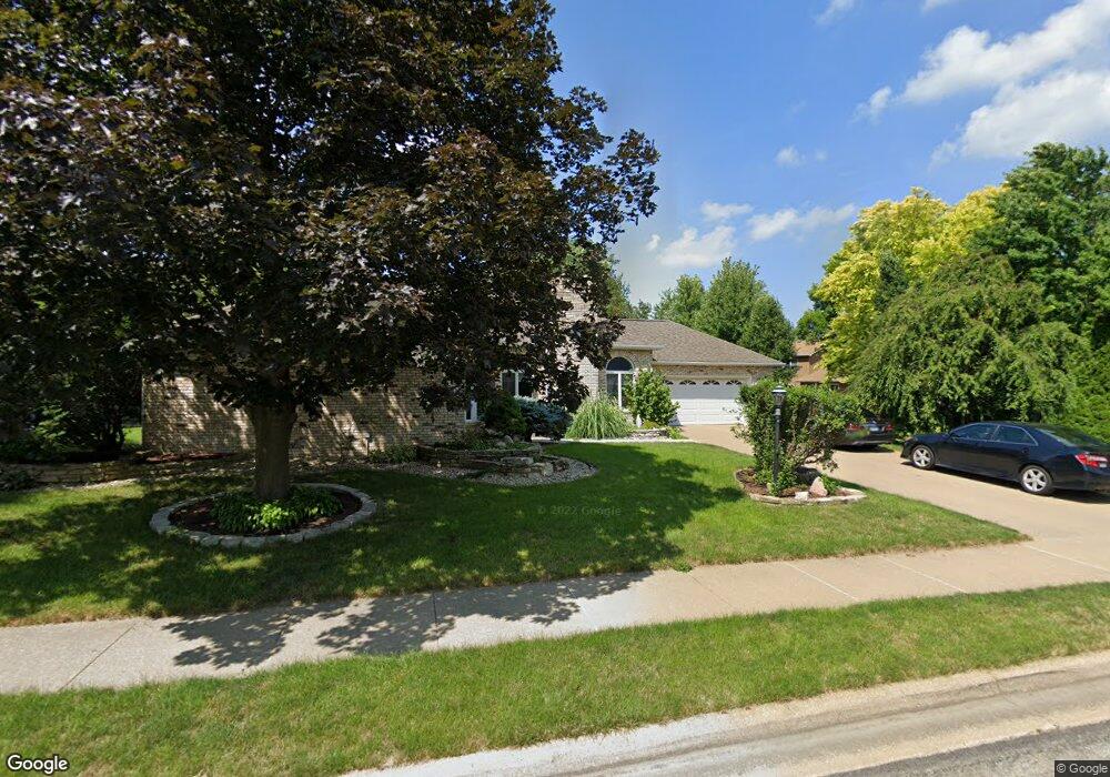
415 W Northpoint Ln Peoria, IL 61614
North Peoria NeighborhoodEstimated Value: $355,229 - $402,000
4
Beds
4
Baths
2,230
Sq Ft
$168/Sq Ft
Est. Value
About This Home
This home is located at 415 W Northpoint Ln, Peoria, IL 61614 and is currently estimated at $374,807, approximately $168 per square foot. 415 W Northpoint Ln is a home located in Peoria County with nearby schools including Kellar Primary School, Liberty Leadership Middle School, and Richwoods High School.
Ownership History
Date
Name
Owned For
Owner Type
Purchase Details
Closed on
Mar 24, 2016
Sold by
Bond David L and Bond Kimberly S
Bought by
Mansour Jean L and Mansour Saide H
Current Estimated Value
Purchase Details
Closed on
Nov 29, 2001
Bought by
Bond Kimberly S and Bond David L
Create a Home Valuation Report for This Property
The Home Valuation Report is an in-depth analysis detailing your home's value as well as a comparison with similar homes in the area
Home Values in the Area
Average Home Value in this Area
Purchase History
| Date | Buyer | Sale Price | Title Company |
|---|---|---|---|
| Mansour Jean L | $320,000 | Attorney Only | |
| Bond Kimberly S | $225,000 | -- |
Source: Public Records
Mortgage History
| Date | Status | Borrower | Loan Amount |
|---|---|---|---|
| Closed | Mansour Jean L | $256,000 |
Source: Public Records
Tax History
| Year | Tax Paid | Tax Assessment Tax Assessment Total Assessment is a certain percentage of the fair market value that is determined by local assessors to be the total taxable value of land and additions on the property. | Land | Improvement |
|---|---|---|---|---|
| 2024 | $8,625 | $101,350 | $13,490 | $87,860 |
| 2023 | $8,185 | $92,990 | $12,380 | $80,610 |
| 2022 | $8,136 | $90,350 | $11,160 | $79,190 |
| 2021 | $7,958 | $86,050 | $10,630 | $75,420 |
| 2020 | $7,935 | $85,190 | $10,520 | $74,670 |
| 2019 | $8,061 | $86,920 | $10,730 | $76,190 |
| 2018 | $8,231 | $90,510 | $10,830 | $79,680 |
| 2017 | $8,235 | $91,420 | $10,940 | $80,480 |
| 2016 | $7,251 | $91,420 | $10,940 | $80,480 |
| 2015 | $6,957 | $81,850 | $10,730 | $71,120 |
| 2014 | $6,964 | $81,580 | $10,180 | $71,400 |
| 2013 | -- | $82,570 | $10,300 | $72,270 |
Source: Public Records
Map
Nearby Homes
- 508 W Teton Dr
- 302 E Morningside Dr
- 501 E High Point Rd
- 6526 N Saint Marys Rd
- 7234 N Crabapple Ct
- 1007 Applewood Ln Unit 35
- 7610 Walnut Bend Dr Unit 27
- 6125-27 N Jayar Dr
- 6024 N Knoxville Ave
- 6925 N Patricia Ln
- 204 W Detweiller Dr
- Lot 18 W Woods Edge Dr
- Lot 38 Austin Dr
- 0 N Skyline Dr
- 5934 N Elm Ln
- 5908 N Elm Ln
- 7425 N Galena Rd
- 1712 W Pinewood Place
- 1701 W Thames Dr
- 514 W Timber Ridge Dr
- 415 W Northpoint Ln
- 419 W Northpoint Ln
- 7105 N Hunters Trace
- 7109 N Hunters Trace
- 7100 N Blair Ct
- 425 W Northpoint Ln
- 412 W Northpoint Ln
- 7115 N Hunters Trace
- 425 W Northpoint Ln
- 418 W Northpoint Ln
- 424 W Northpoint Ln
- 7101 N Blair Ct
- 404 W Northpoint Ln
- 415 W Northpoint Ct
- 404 W Northpoint Ct
- 7104 N Blair Ct
- 7121 N Hunters Trace
- 431 W Northpoint Ln
- 430 W Northpoint Ln
- 311 W Northpoint Ct
Your Personal Tour Guide
Ask me questions while you tour the home.