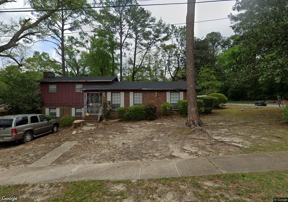
4150 Bacon Ct Mobile, AL 36618
Bellewood NeighborhoodEstimated Value: $165,000 - $198,390
3
Beds
2
Baths
1,716
Sq Ft
$107/Sq Ft
Est. Value
About This Home
This home is located at 4150 Bacon Ct, Mobile, AL 36618 and is currently estimated at $183,098, approximately $106 per square foot. 4150 Bacon Ct is a home located in Mobile County with nearby schools including Forest Hill Elementary School, CL Scarborough Middle School, and Mattie T Blount High School.
Ownership History
Date
Name
Owned For
Owner Type
Purchase Details
Closed on
Dec 29, 2005
Sold by
Lilly Juanita R
Bought by
Murray Brady Kendrick and Murray Brady Lashunda
Current Estimated Value
Home Financials for this Owner
Home Financials are based on the most recent Mortgage that was taken out on this home.
Original Mortgage
$90,000
Outstanding Balance
$49,470
Interest Rate
6.19%
Mortgage Type
Fannie Mae Freddie Mac
Estimated Equity
$133,628
Create a Home Valuation Report for This Property
The Home Valuation Report is an in-depth analysis detailing your home's value as well as a comparison with similar homes in the area
Home Values in the Area
Average Home Value in this Area
Purchase History
| Date | Buyer | Sale Price | Title Company |
|---|---|---|---|
| Murray Brady Kendrick | $90,500 | Slt |
Source: Public Records
Mortgage History
| Date | Status | Borrower | Loan Amount |
|---|---|---|---|
| Open | Murray Brady Kendrick | $90,000 |
Source: Public Records
Tax History
| Year | Tax Paid | Tax Assessment Tax Assessment Total Assessment is a certain percentage of the fair market value that is determined by local assessors to be the total taxable value of land and additions on the property. | Land | Improvement |
|---|---|---|---|---|
| 2025 | $1,928 | $30,200 | $4,000 | $26,200 |
| 2024 | $1,928 | $29,020 | $4,000 | $25,020 |
| 2023 | $1,853 | $11,510 | $2,000 | $9,510 |
| 2022 | $595 | $10,410 | $2,000 | $8,410 |
| 2021 | $595 | $10,410 | $2,000 | $8,410 |
| 2020 | $595 | $10,410 | $2,000 | $8,410 |
| 2019 | $600 | $10,500 | $2,000 | $8,500 |
| 2018 | $568 | $10,000 | $0 | $0 |
| 2017 | $541 | $9,580 | $0 | $0 |
| 2016 | $491 | $8,780 | $0 | $0 |
| 2013 | $532 | $9,220 | $0 | $0 |
Source: Public Records
Map
Nearby Homes
- 1121 Stevens Ln
- 1553 Phillips Ln
- 1100 Bristol Ct
- 1758 La Pine Dr
- 1757 Le Grande Dr
- 4409 Eastview Dr
- 949 Knowles Ln
- 1561 Phillips Ln
- 1557 Phillips Ln
- 559 Brawood Dr
- 4636 Saint Charles Ct
- 1701 Phillips Ln
- 323 Dalewood Dr
- 1124 Forest Glen Dr N
- 305 Springwood Dr N
- 506 Mann Dr
- 4724 Tulane Dr
- 11 Provident Ln
- 1930 Le Jeune Dr
- 21 Provident Ln
- 4154 Bacon Ct
- 1225 Wolf Ridge Rd
- 1213 Wolf Ridge Rd
- 4158 Bacon Ct Unit 17
- 4158 Bacon Ct
- 4155 Benson Dr
- 4155 Bacon Ct
- 1229 Wolf Ridge Rd
- 4159 Benson Dr
- 4159 Bacon Ct
- 4162 Bacon Ct
- 4163 Benson Dr
- 1209 Wolf Ridge Rd
- 4167 Benson Dr
- 4163 Bacon Ct
- 4166 Bacon Ct
- 4154 Benson Dr
- 1301 Wolf Ridge Rd
- 4158 Benson Dr
- 4171 Benson Dr
Your Personal Tour Guide
Ask me questions while you tour the home.