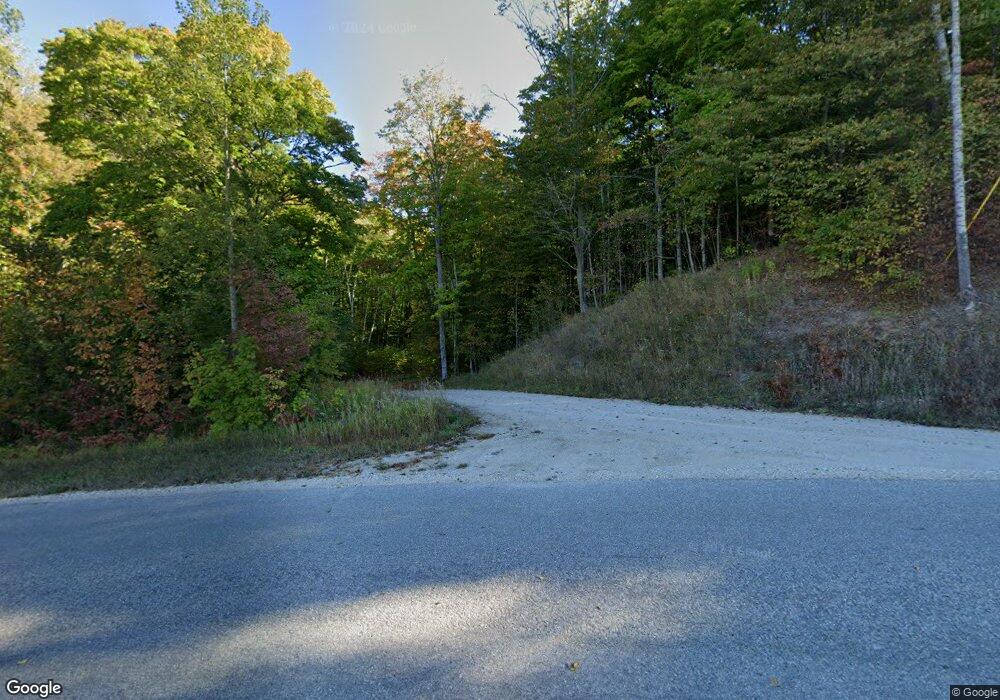
4150 Canby Rd Pellston, MI 49769
Estimated Value: $284,000 - $979,000
Studio
--
Bath
--
Sq Ft
40
Acres
About This Home
This home is located at 4150 Canby Rd, Pellston, MI 49769 and is currently estimated at $655,610. 4150 Canby Rd is a home with nearby schools including Pellston Elementary School and Pellston Middle/High School.
Ownership History
Date
Name
Owned For
Owner Type
Purchase Details
Closed on
May 23, 2017
Sold by
Hemmings David J and Kozikowski Vaerie
Bought by
Hemmings David J and Kozikowski Valarie
Current Estimated Value
Purchase Details
Closed on
Apr 27, 2017
Sold by
Kozikowski Valerie
Bought by
Kozikowski Valerie and Hemmines David John
Purchase Details
Closed on
Oct 5, 2006
Sold by
Hammond Andrew J and Hammond Deanna J
Bought by
Kozikowski Valerie
Purchase Details
Closed on
Aug 10, 2003
Sold by
Scheerens Joseph and Scheerens Mary
Bought by
Hammond Andrew J and Hammond Deanna J
Purchase Details
Closed on
Jun 1, 1996
Sold by
Hall Rps
Bought by
Scheerens Pta
Purchase Details
Closed on
Oct 1, 1992
Sold by
Yarch 3000Dn 10%Int
Bought by
Hall Wd620 and Hall 231
Purchase Details
Closed on
Feb 1, 1985
Bought by
Yarch 78? Lc
Create a Home Valuation Report for This Property
The Home Valuation Report is an in-depth analysis detailing your home's value as well as a comparison with similar homes in the area
Purchase History
| Date | Buyer | Sale Price | Title Company |
|---|---|---|---|
| Hemmings David J | -- | None Available | |
| Kozikowski Valerie | -- | Attorneys Title | |
| Kozikowski Valerie | $145,000 | -- | |
| Hammond Andrew J | -- | -- | |
| Scheerens Pta | $50,000 | -- | |
| Hall Wd620 | $18,000 | -- | |
| Yarch 78? Lc | $8,000 | -- |
Source: Public Records
Tax History Compared to Growth
Tax History
| Year | Tax Paid | Tax Assessment Tax Assessment Total Assessment is a certain percentage of the fair market value that is determined by local assessors to be the total taxable value of land and additions on the property. | Land | Improvement |
|---|---|---|---|---|
| 2025 | $7,457 | $372,300 | $372,300 | $0 |
| 2024 | $53 | $319,400 | $319,400 | $0 |
| 2023 | $6,901 | $297,800 | $297,800 | $0 |
| 2022 | $6,901 | $240,900 | $240,900 | $0 |
| 2021 | $7,048 | $216,200 | $216,200 | $0 |
| 2020 | $6,173 | $186,400 | $186,400 | $0 |
| 2019 | -- | $162,700 | $162,700 | $0 |
| 2018 | -- | $156,600 | $156,600 | $0 |
| 2017 | -- | $156,900 | $156,900 | $0 |
| 2016 | -- | $148,300 | $148,300 | $0 |
| 2015 | -- | $129,900 | $0 | $0 |
| 2014 | -- | $63,400 | $0 | $0 |
Source: Public Records
Map
Nearby Homes
- 3833 Valley Rd
- 309 Creekside Dr
- TBD Teal Rd
- 3645 Sturgeon Bay Shores Trail
- 8439 Sturgeon Bay Dr Unit Lot 61
- 125 W Lakeview Rd
- 0000 #2 Summit St
- 0000 #3 Summit St
- 2210 Black Rock Unit 42
- 0000 #1 Summit St
- 6421 Airport Crossing Rd Unit 1
- tbd Chippewa Dr
- TBD Sturgeon Bay Dr
- 5134 Alpine Overpass Unit 775
- TBD Wintergreen Dr
- Lot 1 Leeward Dr
- TBD Sturgeon Bay Dr Unit 26
- TBD N Lake Shore Dr
- 1150 Sumac St
- 6457 State St
