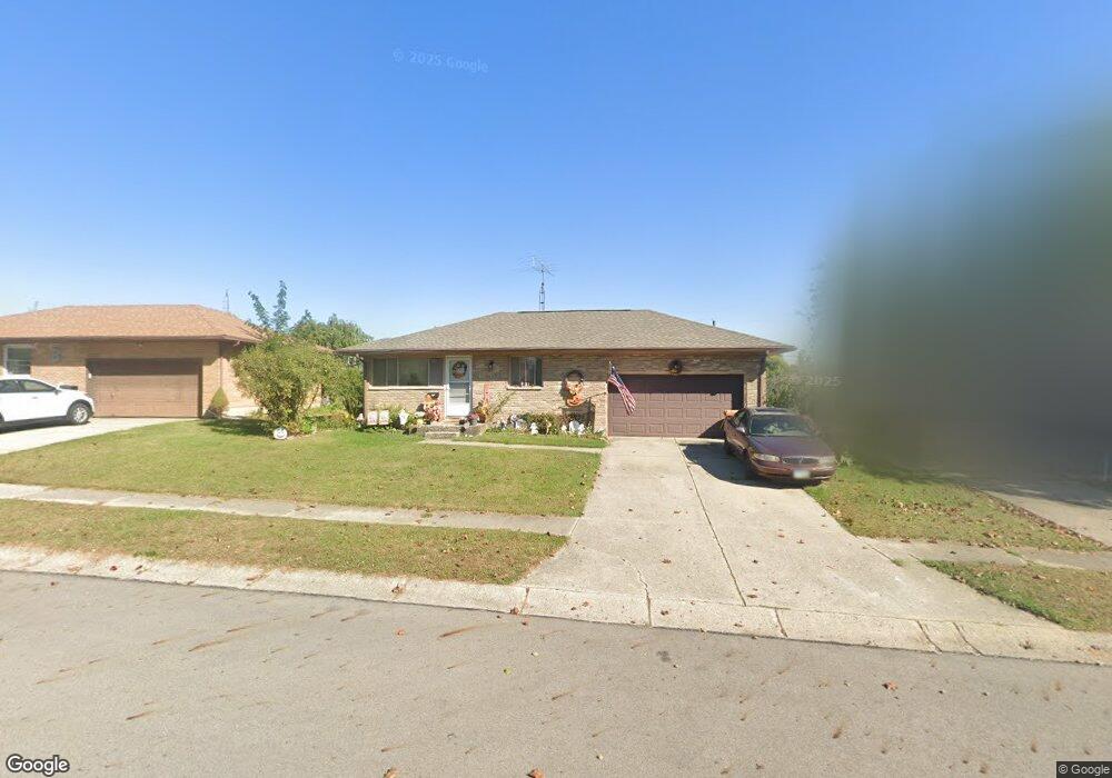
4150 Imperial Dr Springfield, OH 45503
Estimated Value: $195,134 - $210,000
3
Beds
2
Baths
1,075
Sq Ft
$190/Sq Ft
Est. Value
About This Home
This home is located at 4150 Imperial Dr, Springfield, OH 45503 and is currently estimated at $204,034, approximately $189 per square foot. 4150 Imperial Dr is a home located in Clark County with nearby schools including Northridge Elementary School and Kenton Ridge Middle & High School.
Ownership History
Date
Name
Owned For
Owner Type
Purchase Details
Closed on
Jun 15, 2000
Sold by
Gnau Stephen F and Grace Mary
Bought by
Moore Bethanne K
Current Estimated Value
Home Financials for this Owner
Home Financials are based on the most recent Mortgage that was taken out on this home.
Original Mortgage
$52,000
Outstanding Balance
$17,378
Interest Rate
8.31%
Mortgage Type
Purchase Money Mortgage
Estimated Equity
$186,656
Purchase Details
Closed on
Aug 26, 1991
Create a Home Valuation Report for This Property
The Home Valuation Report is an in-depth analysis detailing your home's value as well as a comparison with similar homes in the area
Home Values in the Area
Average Home Value in this Area
Purchase History
| Date | Buyer | Sale Price | Title Company |
|---|---|---|---|
| Moore Bethanne K | $96,300 | -- | |
| -- | $40,700 | -- |
Source: Public Records
Mortgage History
| Date | Status | Borrower | Loan Amount |
|---|---|---|---|
| Open | Moore Bethanne K | $52,000 |
Source: Public Records
Tax History
| Year | Tax Paid | Tax Assessment Tax Assessment Total Assessment is a certain percentage of the fair market value that is determined by local assessors to be the total taxable value of land and additions on the property. | Land | Improvement |
|---|---|---|---|---|
| 2025 | $2,681 | $63,880 | $17,070 | $46,810 |
| 2024 | $1,719 | $40,660 | $9,940 | $30,720 |
| 2023 | $1,719 | $40,660 | $9,940 | $30,720 |
| 2022 | $1,732 | $40,660 | $9,940 | $30,720 |
| 2021 | $1,837 | $36,670 | $7,360 | $29,310 |
| 2020 | $1,839 | $36,670 | $7,360 | $29,310 |
| 2019 | $1,874 | $36,670 | $7,360 | $29,310 |
| 2018 | $1,892 | $35,480 | $9,380 | $26,100 |
| 2017 | $1,622 | $32,432 | $9,384 | $23,048 |
| 2016 | $1,611 | $32,432 | $9,384 | $23,048 |
| 2015 | $1,501 | $32,071 | $9,023 | $23,048 |
| 2014 | $1,501 | $32,071 | $9,023 | $23,048 |
| 2013 | $1,466 | $32,071 | $9,023 | $23,048 |
Source: Public Records
Map
Nearby Homes
- 4256 Midfield St Unit 9
- 1341 Student Ave
- 4322 Midfield St Unit 15
- 4446 Ridgewood Rd E Unit 3
- 3942 Harris Ln
- 1644 Delmar Dr
- 1162 Kingsgate Rd
- 1201 Kingsgate Rd
- 4577 Reno Ln Unit 2
- 4652 Reno Ln Unit 15
- 4802 Willowbrook Dr
- 1500 Kingsgate Rd Unit 19430
- 1502 Kingsgate Rd Unit 19432
- 1500 Kingsgate Rd
- 1502 Kingsgate Rd
- 4741 Cullen Ave
- 3631 Kingsgate Ln
- 1503 Kingsgate Rd
- 4733 Curtis Dr
- 1921 Elaina Dr
- 4144 Imperial Dr
- 4204 Imperial Dr
- 4149 Carona St
- 4155 Carona St
- 4138 Imperial Dr
- 4210 Imperial Dr
- 4141 Carona St
- 4211 Carona St
- 4149 Imperial Dr
- 4135 Carona St
- 4214 Imperial Dr
- 4130 Imperial Dr
- 4141 Imperial Dr
- 4219 Carona St
- 4211 Imperial Dr
- 4133 Imperial Dr
- 4129 Carona St
- 4218 Imperial Dr
- 4227 Carona St
- 4215 Imperial Dr
Your Personal Tour Guide
Ask me questions while you tour the home.