4150 Marks Ave Rootstown, OH 44272
Estimated Value: $187,000 - $205,000
3
Beds
1
Bath
1,124
Sq Ft
$175/Sq Ft
Est. Value
About This Home
This home is located at 4150 Marks Ave, Rootstown, OH 44272 and is currently estimated at $196,915, approximately $175 per square foot. 4150 Marks Ave is a home located in Portage County with nearby schools including Rootstown Middle School - Schnee Building and Rootstown High School.
Ownership History
Date
Name
Owned For
Owner Type
Purchase Details
Closed on
Apr 17, 2010
Sold by
Moser Terrance L and Moser Kelly K
Bought by
Moser Josh
Current Estimated Value
Purchase Details
Closed on
Jul 26, 2007
Sold by
Simons Karen Sue and Simons Ronald
Bought by
Moser Terrance L and Moser Kelly K
Home Financials for this Owner
Home Financials are based on the most recent Mortgage that was taken out on this home.
Original Mortgage
$45,249
Outstanding Balance
$28,795
Interest Rate
6.76%
Mortgage Type
Purchase Money Mortgage
Estimated Equity
$168,120
Purchase Details
Closed on
Aug 1, 2001
Sold by
Suderow Myron G
Bought by
Simon Karen Sue
Purchase Details
Closed on
Jan 1, 1990
Bought by
Suderow Myron G
Create a Home Valuation Report for This Property
The Home Valuation Report is an in-depth analysis detailing your home's value as well as a comparison with similar homes in the area
Purchase History
| Date | Buyer | Sale Price | Title Company |
|---|---|---|---|
| Moser Josh | -- | Attorney | |
| Moser Terrance L | $90,000 | Lawyers Title Ins | |
| Simon Karen Sue | -- | Guardian Title | |
| Suderow Myron G | -- | -- |
Source: Public Records
Mortgage History
| Date | Status | Borrower | Loan Amount |
|---|---|---|---|
| Open | Moser Terrance L | $45,249 |
Source: Public Records
Tax History
| Year | Tax Paid | Tax Assessment Tax Assessment Total Assessment is a certain percentage of the fair market value that is determined by local assessors to be the total taxable value of land and additions on the property. | Land | Improvement |
|---|---|---|---|---|
| 2024 | $2,725 | $58,980 | $8,470 | $50,510 |
| 2023 | $1,970 | $43,480 | $7,390 | $36,090 |
| 2022 | $2,197 | $43,480 | $7,390 | $36,090 |
| 2021 | $1,940 | $43,480 | $7,390 | $36,090 |
| 2020 | $1,906 | $37,630 | $7,040 | $30,590 |
| 2019 | $2,088 | $37,630 | $7,040 | $30,590 |
| 2018 | $1,743 | $34,270 | $10,080 | $24,190 |
| 2017 | $1,854 | $34,270 | $10,080 | $24,190 |
| 2016 | $1,811 | $34,270 | $10,080 | $24,190 |
| 2015 | $1,663 | $34,270 | $10,080 | $24,190 |
| 2014 | $1,694 | $34,270 | $10,080 | $24,190 |
| 2013 | $1,730 | $34,270 | $10,080 | $24,190 |
Source: Public Records
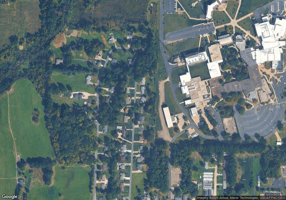
Map
Nearby Homes
- V/L 2 Lynn Rd
- V/L Lynn Rd
- 0 Lynn Rd Unit 5110102
- 3689 Cherry Hill
- 4415 Farmette Dr
- sub lot Lane Ave
- 4691 Scenic Dr
- 0 New Milford Rd Unit 11489599
- 0 New Milford Rd Unit 5108183
- 4225 Hattrick Rd
- 4140 Sandy Lake Rd
- 3637 Old Forge Rd
- 4058 Bayberry Knoll Ln
- 3136 Bird Dr
- 3021 Hartville Rd
- 3925 Summit Rd
- 694 Summit Rd
- 5403 Winding Creek Dr
- 1042 Canterbury Way Dr
- 668 Westbrook Ct