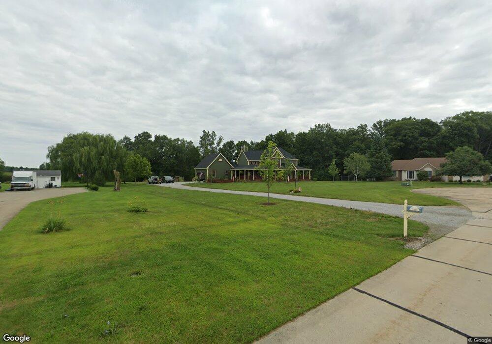
41500 Rachael Dr Lagrange, OH 44050
Estimated Value: $403,000 - $659,000
4
Beds
3
Baths
2,711
Sq Ft
$204/Sq Ft
Est. Value
About This Home
This home is located at 41500 Rachael Dr, Lagrange, OH 44050 and is currently estimated at $553,204, approximately $204 per square foot. 41500 Rachael Dr is a home located in Lorain County with nearby schools including Keystone Elementary School, Keystone Middle School, and Keystone High School.
Ownership History
Date
Name
Owned For
Owner Type
Purchase Details
Closed on
Aug 28, 2008
Sold by
Felton Gregory B and Felton Mary H
Bought by
Miller Thomas Stephen and Miller Christy L
Current Estimated Value
Home Financials for this Owner
Home Financials are based on the most recent Mortgage that was taken out on this home.
Original Mortgage
$207,000
Outstanding Balance
$138,603
Interest Rate
6.66%
Mortgage Type
Purchase Money Mortgage
Estimated Equity
$414,601
Purchase Details
Closed on
Nov 4, 1998
Sold by
David Development Inc
Bought by
Janas Edward J and Janas Anne T
Create a Home Valuation Report for This Property
The Home Valuation Report is an in-depth analysis detailing your home's value as well as a comparison with similar homes in the area
Home Values in the Area
Average Home Value in this Area
Purchase History
| Date | Buyer | Sale Price | Title Company |
|---|---|---|---|
| Miller Thomas Stephen | $230,000 | Lawyers Title Ins | |
| Janas Edward J | $54,900 | Lorain County Title Co Inc |
Source: Public Records
Mortgage History
| Date | Status | Borrower | Loan Amount |
|---|---|---|---|
| Open | Miller Thomas Stephen | $207,000 |
Source: Public Records
Tax History
| Year | Tax Paid | Tax Assessment Tax Assessment Total Assessment is a certain percentage of the fair market value that is determined by local assessors to be the total taxable value of land and additions on the property. | Land | Improvement |
|---|---|---|---|---|
| 2024 | $7,283 | $178,654 | $33,730 | $144,925 |
| 2023 | $6,294 | $129,133 | $26,082 | $103,051 |
| 2022 | $6,248 | $129,133 | $26,082 | $103,051 |
| 2021 | $6,245 | $129,133 | $26,082 | $103,051 |
| 2020 | $5,837 | $107,620 | $21,740 | $85,880 |
| 2019 | $5,801 | $107,620 | $21,740 | $85,880 |
| 2018 | $5,203 | $107,620 | $21,740 | $85,880 |
| 2017 | $4,748 | $84,500 | $17,640 | $66,860 |
| 2016 | $4,714 | $84,500 | $17,640 | $66,860 |
| 2015 | $4,707 | $84,500 | $17,640 | $66,860 |
| 2014 | $4,111 | $84,500 | $17,640 | $66,860 |
| 2013 | $3,983 | $84,500 | $17,640 | $66,860 |
Source: Public Records
Map
Nearby Homes
- 340 Granger Dr
- 829 Robinson Dr
- 567 Vicksburg Ct
- 808 Buckingham Dr
- 800 Buckingham Dr
- 548 William St
- 516 Appomattox Ct
- 801 Willich Ct
- 317 Church St
- 305 W Main St
- 0 Dill Ct Unit 5072837
- 110 Railroad St
- 40175 Banks Rd
- 40163 Banks Rd
- 41341 Ravines Edge Way
- 43902 State Route 303
- 40260 Whitney Rd
- 43915 State Route 511
- 13301 Indian Hollow Rd
- 1033 Parsons Rd Unit 11
- 15179 Rhonda Ln
- 41538 Rachael Dr
- 15217 Rhonda Ln
- 41576 Rachael Dr
- 41535 Rachael Dr
- 15255 Rhonda Ln
- 41573 Rachael Dr
- 41614 Rachael Dr
- 15291 Rhonda Ln
- 15272 Rhonda Ln
- 41611 Rachael Dr
- 41652 Rachael Dr
- 15299 Rhonda Ln
- 41649 Rachael Dr
- 15308 Rhonda Ln
- 41690 Rachael Dr
- 41687 Rachael Dr
- 41728 Rachael Dr
- 41725 Rachael Dr
- 41766 Rachael Dr
Your Personal Tour Guide
Ask me questions while you tour the home.