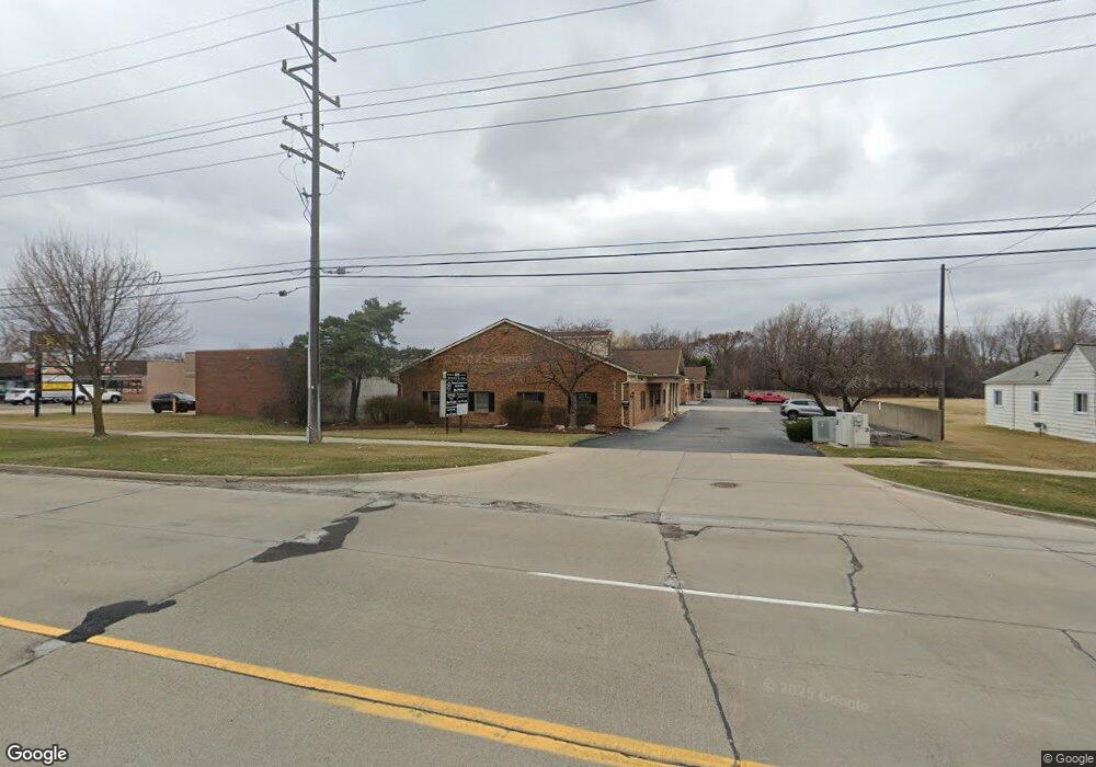
4151 17 Mile Rd Unit B Sterling Heights, MI 48310
Estimated Value: $223,655
--
Bed
--
Bath
1,500
Sq Ft
$149/Sq Ft
Est. Value
About This Home
This home is located at 4151 17 Mile Rd Unit B, Sterling Heights, MI 48310 and is currently estimated at $223,655, approximately $149 per square foot. 4151 17 Mile Rd Unit B is a home located in Macomb County with nearby schools including Schuchard Elementary School, Frank Jeannette Junior High School, and Adlai Stevenson High School.
Ownership History
Date
Name
Owned For
Owner Type
Purchase Details
Closed on
Jan 13, 2017
Sold by
Todorovski Ivanka
Bought by
Llra Investments Llc
Current Estimated Value
Purchase Details
Closed on
Sep 14, 2012
Sold by
Global Atr Inc
Bought by
Todorovski Ivanka
Purchase Details
Closed on
Oct 18, 2011
Sold by
Christensen Gerald A
Bought by
Global Atr
Purchase Details
Closed on
Dec 15, 2000
Sold by
Christensen Eileen M
Bought by
Christensen Eileen M and Eileen M Christensen Living Trust
Create a Home Valuation Report for This Property
The Home Valuation Report is an in-depth analysis detailing your home's value as well as a comparison with similar homes in the area
Home Values in the Area
Average Home Value in this Area
Purchase History
| Date | Buyer | Sale Price | Title Company |
|---|---|---|---|
| Llra Investments Llc | $135,000 | None Available | |
| Todorovski Ivanka | -- | None Available | |
| Todorovski Ivanka | -- | None Available | |
| Global Atr | $195,000 | None Available | |
| Christensen Eileen M | -- | Title One Inc |
Source: Public Records
Tax History Compared to Growth
Tax History
| Year | Tax Paid | Tax Assessment Tax Assessment Total Assessment is a certain percentage of the fair market value that is determined by local assessors to be the total taxable value of land and additions on the property. | Land | Improvement |
|---|---|---|---|---|
| 2025 | $2,808 | $65,000 | $0 | $0 |
| 2024 | $2,194 | $66,800 | $0 | $0 |
| 2023 | $2,075 | $47,700 | $0 | $0 |
| 2022 | $2,477 | $45,000 | $0 | $0 |
| 2021 | $2,427 | $43,600 | $0 | $0 |
| 2020 | $2,176 | $50,100 | $0 | $0 |
| 2019 | $2,698 | $50,200 | $0 | $0 |
| 2018 | $3,100 | $56,600 | $0 | $0 |
| 2017 | $2,588 | $55,100 | $11,700 | $43,400 |
| 2016 | $2,528 | $55,100 | $0 | $0 |
| 2015 | -- | $46,900 | $0 | $0 |
| 2014 | -- | $49,000 | $0 | $0 |
Source: Public Records
Map
Nearby Homes
- 38915 Claremont Ct
- 3816 Pokley Ct
- 38576 Cottonwood Dr
- 3600 Brandi Dr
- 4768 Dreon Ct
- 39198 Faith Dr
- 3514 Bates Dr
- 38338 Coronation Dr
- 4622 Ardmore Dr
- 40034 Kristen Dr
- 38968 Harrison Dr
- 5118 Fredrick Dr
- 4653 Lucerne Dr
- 3349 Dobbin Dr
- 4325 Fox Hill Dr
- 38638 Harrison Dr
- 3038 Donna Dr
- 4761 Fox Hill Dr
- 3777 Hamlet Dr
- 40444 Harmon Dr
- 4151 17 Mile Rd Unit 3
- 4151 17 Mile Rd
- 4151 17 Mile Rd Unit B
- 4151 17 Mile Rd Unit D 4
- 4151 17 Mile Rd
- 4155 17 Mile Rd Unit D 4
- 4155 17 Mile Rd Unit 4 D
- 4209 17 Mile Rd
- 4243 17 Mile Rd
- 4277 17 Mile Rd
- 4055 17 Mile Rd
- 0000 Ryan Rd
- 4152 Nathan W
- 4311 17 Mile Rd
- 38973 Cottonwood Ct
- 4134 Nathan W
- 4206 Nathan W
- 4242 Nathan W
- 38986 Cottonwood Ct
- 4116 Nathan W