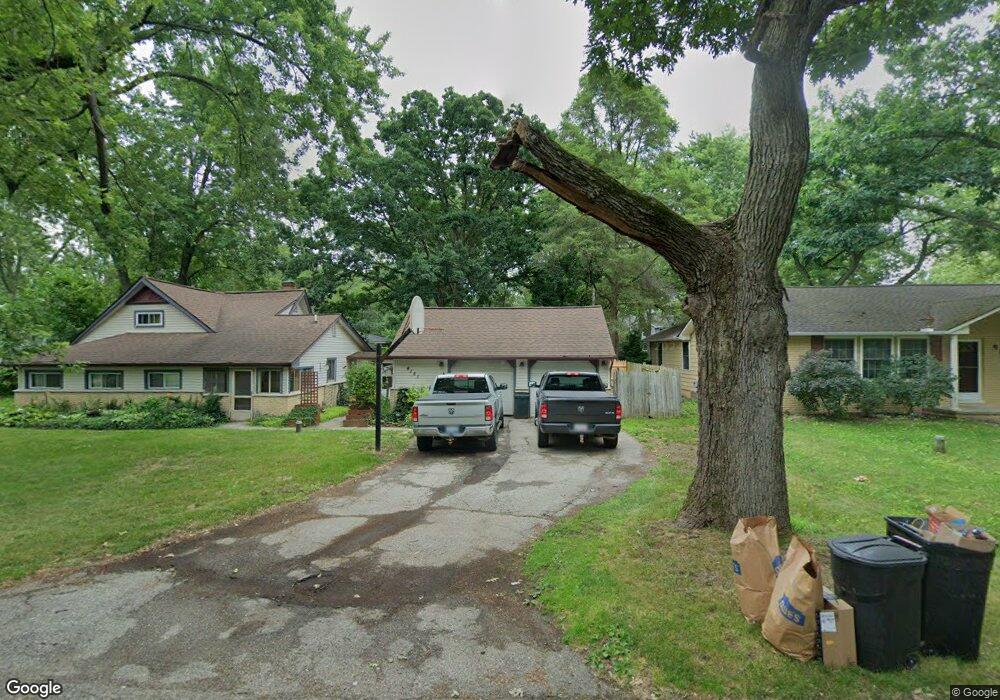
4151 Maple Blvd West Bloomfield, MI 48323
Estimated Value: $247,000 - $288,000
5
Beds
2
Baths
1,333
Sq Ft
$201/Sq Ft
Est. Value
About This Home
This home is located at 4151 Maple Blvd, West Bloomfield, MI 48323 and is currently estimated at $267,859, approximately $200 per square foot. 4151 Maple Blvd is a home located in Oakland County with nearby schools including Walled Lake Central High School, St. Matthew Lutheran School, and St. William School.
Ownership History
Date
Name
Owned For
Owner Type
Purchase Details
Closed on
Sep 20, 2013
Sold by
Houser Sara Ann
Bought by
Houser Daniel Earl
Current Estimated Value
Purchase Details
Closed on
Jan 13, 1998
Sold by
Keplinger Loren
Bought by
Houser Daniel
Purchase Details
Closed on
Oct 24, 1994
Sold by
Yun Susan J
Bought by
Keplinger Loren
Home Financials for this Owner
Home Financials are based on the most recent Mortgage that was taken out on this home.
Original Mortgage
$109,250
Interest Rate
6.13%
Create a Home Valuation Report for This Property
The Home Valuation Report is an in-depth analysis detailing your home's value as well as a comparison with similar homes in the area
Home Values in the Area
Average Home Value in this Area
Purchase History
| Date | Buyer | Sale Price | Title Company |
|---|---|---|---|
| Houser Daniel Earl | -- | None Available | |
| Houser Daniel | $126,500 | -- | |
| Keplinger Loren | $116,500 | -- |
Source: Public Records
Mortgage History
| Date | Status | Borrower | Loan Amount |
|---|---|---|---|
| Previous Owner | Keplinger Loren | $109,250 |
Source: Public Records
Tax History Compared to Growth
Tax History
| Year | Tax Paid | Tax Assessment Tax Assessment Total Assessment is a certain percentage of the fair market value that is determined by local assessors to be the total taxable value of land and additions on the property. | Land | Improvement |
|---|---|---|---|---|
| 2025 | $2,087 | $107,480 | $50,040 | $57,440 |
| 2024 | $1,207 | $97,110 | $0 | $0 |
| 2022 | $1,138 | $90,670 | $37,070 | $53,600 |
| 2021 | $1,871 | $87,090 | $0 | $0 |
| 2020 | $1,124 | $86,480 | $39,130 | $47,350 |
| 2018 | $1,821 | $79,740 | $33,880 | $45,860 |
| 2015 | -- | $59,550 | $0 | $0 |
| 2014 | -- | $54,460 | $0 | $0 |
| 2011 | -- | $48,310 | $0 | $0 |
Source: Public Records
Map
Nearby Homes
- 4351 Kiddell Terrace
- 7381 Crestmore St
- 3835 Ranya Dr
- 1047 Addison Cir
- 103 Addison Cir
- 6978 Colony Dr
- 1777 Addison Cir
- 1778 Addison Cir
- 7555 Windgate Cir
- 7567 Windgate Cir
- 6903 Dandison Blvd
- 8226 Dickert St
- 8330 Dickert St
- 3280 Chambourne St
- 7146 Arrowood Dr
- 2994 Lankford Ln
- 8223 Arlis St
- 7841 Trailside Ct
- 6980 Hambro St
- 3991 Fieldview Ave
- 4175 Maple Blvd
- 4092 Circle Blvd
- 4082 Circle Blvd
- 7806 Circle Blvd
- 4140 Maple Blvd
- 4075 Maple Blvd
- 7777 Circle Blvd
- 4204 Hillcrest Cir
- 4076 Circle Blvd
- 4085 Circle Blvd
- 4090 Maple Blvd
- 7795 Circle Blvd
- 4181 Circle Blvd
- 4141 Highland Ct
- 7814 Circle Blvd
- 4201 Hillcrest Cir
- 4080 Maple Blvd
- 4060 Circle Blvd
- 4075 Circle Blvd
- 4121 Highland Ct