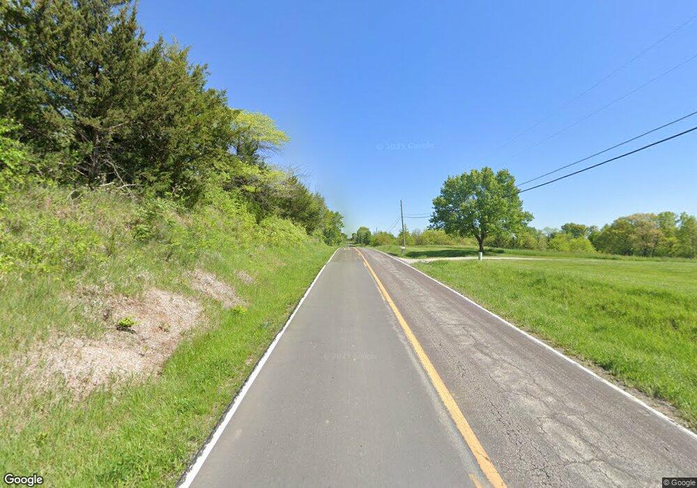
4151 NE State Route W Saint Joseph, MO 64507
Estimated Value: $143,994 - $522,000
--
Bed
--
Bath
1,156
Sq Ft
$246/Sq Ft
Est. Value
About This Home
This home is located at 4151 NE State Route W, Saint Joseph, MO 64507 and is currently estimated at $283,999, approximately $245 per square foot. 4151 NE State Route W is a home located in Buchanan County with nearby schools including Ellison Elementary School, Bode Middle School, and Central High School.
Ownership History
Date
Name
Owned For
Owner Type
Purchase Details
Closed on
Oct 21, 2005
Sold by
Laffargue Frank A
Bought by
Mally Eva L
Current Estimated Value
Home Financials for this Owner
Home Financials are based on the most recent Mortgage that was taken out on this home.
Original Mortgage
$70,000
Outstanding Balance
$43,534
Interest Rate
8.45%
Mortgage Type
Adjustable Rate Mortgage/ARM
Estimated Equity
$240,465
Create a Home Valuation Report for This Property
The Home Valuation Report is an in-depth analysis detailing your home's value as well as a comparison with similar homes in the area
Home Values in the Area
Average Home Value in this Area
Purchase History
| Date | Buyer | Sale Price | Title Company |
|---|---|---|---|
| Mally Eva L | -- | Hall Abstract & Title Co Inc |
Source: Public Records
Mortgage History
| Date | Status | Borrower | Loan Amount |
|---|---|---|---|
| Open | Mally Eva L | $70,000 |
Source: Public Records
Tax History Compared to Growth
Tax History
| Year | Tax Paid | Tax Assessment Tax Assessment Total Assessment is a certain percentage of the fair market value that is determined by local assessors to be the total taxable value of land and additions on the property. | Land | Improvement |
|---|---|---|---|---|
| 2024 | $716 | $12,000 | $3,800 | $8,200 |
| 2023 | $716 | $12,000 | $3,800 | $8,200 |
| 2022 | $653 | $12,000 | $3,800 | $8,200 |
| 2021 | $657 | $12,000 | $3,800 | $8,200 |
| 2020 | $653 | $12,000 | $3,800 | $8,200 |
| 2019 | $640 | $12,000 | $3,800 | $8,200 |
| 2018 | $566 | $12,000 | $3,800 | $8,200 |
| 2017 | $560 | $12,000 | $0 | $0 |
| 2015 | $1 | $11,610 | $0 | $0 |
| 2014 | $606 | $11,610 | $0 | $0 |
Source: Public Records
Map
Nearby Homes
- 2685 N East River Ridge Rd
- 1901 River Ridge Rd
- 5201 Cook Rd
- 4902 Corinth Dr
- 4809 N Lakewood Dr
- 2 SE Eagle Ridge Dr
- 4706 Donnelly Dr
- 4703 Woodland Shores Ct
- 2103 NE 85th Rd
- 5418 N Pointe Dr
- 5408 N Pointe Dr
- 5415 N Pointe Dr
- 5411 N Pointe Dr
- 2 N Pointe Dr
- 0 N Pointe Dr
- 4730 Woodland Ct
- 4732 Woodland Ct
- 4733 Woodland Ct
- 4734 Woodland Ct
- 3804 Kingston Ct
- 4091 NE State Route W
- 4280 NE State Route W
- 6940 Cook Rd
- 6651 Cook Rd
- 6651 NE Cook Rd
- 7 Mission Hills Dr
- 18939 NE State Hwy W
- 9 Mission Hills Dr
- 1 Mission Hills Dr
- 6 Mission Hills Dr
- 6 Mission Hills Dr
- 3 Mission Hills Dr
- 1 Mission Hills Dr
- 18945 NE State Hwy W
- 19524 NE State Hwy W
- 5 Mission Hills Dr
- 4658 NE State Route W
- 3801 NE State Route W
- 4600 NE State Route W
- 4653 NE State Route W
