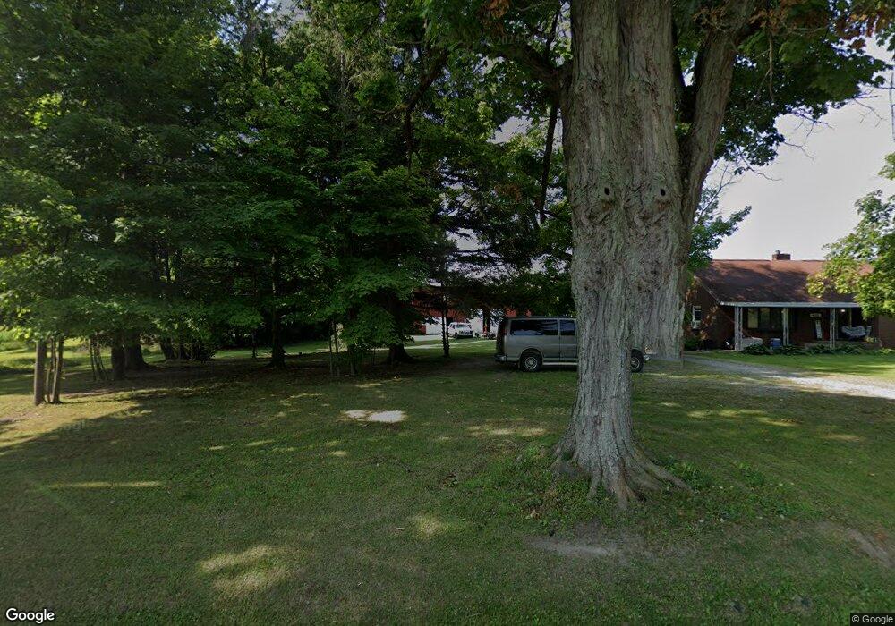
4151 Us Highway 6 Linesville, PA 16424
Estimated Value: $124,601 - $230,000
--
Bed
--
Bath
--
Sq Ft
3.29
Acres
About This Home
This home is located at 4151 Us Highway 6, Linesville, PA 16424 and is currently estimated at $160,650. 4151 Us Highway 6 is a home with nearby schools including Conneaut Valley Elementary School, Conneaut Valley Middle School, and Conneaut Area Senior High School.
Ownership History
Date
Name
Owned For
Owner Type
Purchase Details
Closed on
Oct 23, 2019
Sold by
Starcheski Stanley J and Starcheski Asia M
Bought by
Starcheski Stanley J
Current Estimated Value
Purchase Details
Closed on
Aug 18, 2011
Sold by
Hamilton Darlene J and Curry Diane J
Bought by
Schultz Mary
Home Financials for this Owner
Home Financials are based on the most recent Mortgage that was taken out on this home.
Original Mortgage
$77,634
Outstanding Balance
$53,627
Interest Rate
4.52%
Mortgage Type
VA
Estimated Equity
$107,023
Create a Home Valuation Report for This Property
The Home Valuation Report is an in-depth analysis detailing your home's value as well as a comparison with similar homes in the area
Home Values in the Area
Average Home Value in this Area
Purchase History
| Date | Buyer | Sale Price | Title Company |
|---|---|---|---|
| Starcheski Stanley J | -- | None Available | |
| Schultz Mary | $76,000 | None Available |
Source: Public Records
Mortgage History
| Date | Status | Borrower | Loan Amount |
|---|---|---|---|
| Open | Schultz Mary | $77,634 |
Source: Public Records
Tax History Compared to Growth
Tax History
| Year | Tax Paid | Tax Assessment Tax Assessment Total Assessment is a certain percentage of the fair market value that is determined by local assessors to be the total taxable value of land and additions on the property. | Land | Improvement |
|---|---|---|---|---|
| 2025 | $604 | $24,288 | $1,688 | $22,600 |
| 2024 | $1,856 | $24,288 | $1,688 | $22,600 |
| 2023 | $1,856 | $24,288 | $1,688 | $22,600 |
| 2022 | $1,856 | $24,288 | $1,688 | $22,600 |
| 2021 | $1,856 | $24,288 | $1,688 | $22,600 |
| 2020 | $1,856 | $24,288 | $1,688 | $22,600 |
| 2019 | $2,067 | $24,288 | $1,688 | $22,600 |
| 2018 | $1,765 | $24,288 | $1,688 | $22,600 |
| 2017 | $1,765 | $24,288 | $1,688 | $22,600 |
| 2016 | $554 | $25,338 | $1,688 | $23,650 |
| 2015 | $554 | $25,338 | $1,688 | $23,650 |
| 2014 | -- | $25,338 | $1,688 | $23,650 |
Source: Public Records
Map
Nearby Homes
- 15287 Airport Rd
- 351 Homestead Ave
- 14711 Wallace Avenue Extension
- 15916 Airport Rd
- 3+ /- Acres on 3+ - Acres On Phelps Rd
- 218 S Mercer St
- 126 E Erie St
- 0 Conaway Rd
- 17263 Airport Rd
- 0 Hickory Dr
- 1793 Stuart Ave
- 12490 Ash Dr
- 2149 Aldee Dr
- 2057 Mccann Dr
- 2090 Butternut Dr
- 3+ /- Acres on Phelps Rd
- 0 Linn & Fries Roads Unit 184346
- 0 B and B Dr
- 1765 Wyandott Dr
- 17315 Phelps Rd
- 4212 Highway 6
- 4037 Us Highway 6
- 4037 Us Highway 6
- 4340 State Route 6
- 4340 Highway 6
- 3972 U S Hwy 6
- 3972 Us Highway 6
- 3907 Us Highway 6
- 3902 Us Highway 6
- 4425 Highway 6
- 14998 Maples Rd
- 4450 Us Highway 6
- 14827 Maples Rd
- 14853 Maple Rd
- 14963 Maple Rd
- 4492 U S 6
- 15015 Maple Rd
- 4492 Highway 6
- 4492 Highway 6
- 14737 Maple Rd