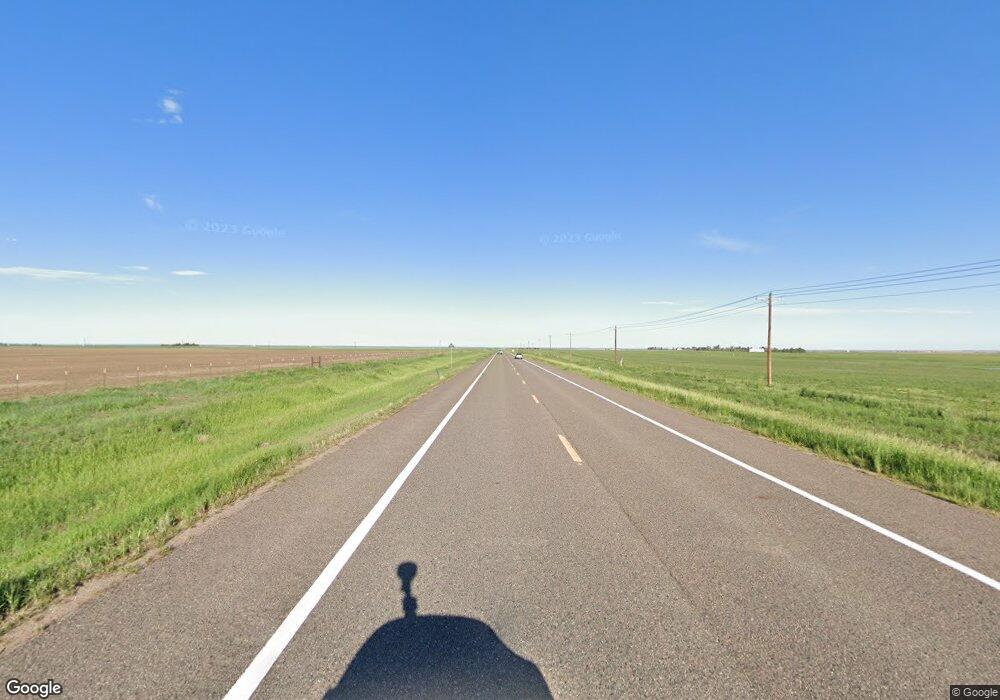
41540 Us Highway 36 Bennett, CO 80102
Estimated Value: $437,000 - $841,000
4
Beds
4
Baths
1,496
Sq Ft
$466/Sq Ft
Est. Value
About This Home
This home is located at 41540 Us Highway 36, Bennett, CO 80102 and is currently estimated at $696,552, approximately $465 per square foot. 41540 Us Highway 36 is a home located in Adams County with nearby schools including Bennett Elementary School, Bennett Middle School, and Bennett High School.
Ownership History
Date
Name
Owned For
Owner Type
Purchase Details
Closed on
Dec 30, 2002
Sold by
Gateway East Industrial Llc
Bought by
Roth Corp
Current Estimated Value
Purchase Details
Closed on
May 17, 2002
Sold by
Kubick Damian R and Kubick Judy D
Bought by
Vandoorn David D and Vandoorn Sandra
Home Financials for this Owner
Home Financials are based on the most recent Mortgage that was taken out on this home.
Original Mortgage
$272,500
Interest Rate
6.89%
Mortgage Type
Stand Alone First
Create a Home Valuation Report for This Property
The Home Valuation Report is an in-depth analysis detailing your home's value as well as a comparison with similar homes in the area
Home Values in the Area
Average Home Value in this Area
Purchase History
| Date | Buyer | Sale Price | Title Company |
|---|---|---|---|
| Roth Corp | $708,500 | -- | |
| Vandoorn David D | $272,500 | Land Title Guarantee Company |
Source: Public Records
Mortgage History
| Date | Status | Borrower | Loan Amount |
|---|---|---|---|
| Previous Owner | Vandoorn David D | $272,500 |
Source: Public Records
Tax History Compared to Growth
Tax History
| Year | Tax Paid | Tax Assessment Tax Assessment Total Assessment is a certain percentage of the fair market value that is determined by local assessors to be the total taxable value of land and additions on the property. | Land | Improvement |
|---|---|---|---|---|
| 2024 | $3,539 | $50,840 | $9,000 | $41,840 |
| 2023 | $3,565 | $57,590 | $9,740 | $47,850 |
| 2022 | $1,992 | $33,110 | $10,010 | $23,100 |
| 2021 | $2,032 | $33,110 | $10,010 | $23,100 |
| 2020 | $1,916 | $32,960 | $10,300 | $22,660 |
| 2019 | $1,974 | $32,960 | $10,300 | $22,660 |
| 2018 | $1,522 | $25,120 | $4,540 | $20,580 |
| 2017 | $1,531 | $25,120 | $4,540 | $20,580 |
| 2016 | $1,094 | $21,280 | $5,010 | $16,270 |
| 2015 | $1,088 | $13,320 | $3,140 | $10,180 |
| 2014 | -- | $11,810 | $2,710 | $9,100 |
Source: Public Records
Map
Nearby Homes
- 0 1979-00-0-00-163 Unit 5 REC4553121
- 3535 N Harback Rd
- 1614 N Manila Rd
- 1950 Cavanaugh Rd
- 715 Aspen Ave
- 730 Cottonwood Ave
- 203 Coyote St
- 45750 Silverdrop Ave
- 104 Coyote St
- 45840 Laceleaf Dr
- 45877 Orchid Ave
- 45927 Wood Thrush Ave
- 128 Madison Dr
- 100 S Manila Rd
- 46517 Sunflower Ln
- 46501 Sunflower Ln
- 46521 Sunflower Ln
- 46537 Sunflower Ln
- 46541 Sunflower Ln
- 46545 Sunflower Ln
- 41620 Us Highway 36
- 41460 Us Highway 36
- 41420 Us Highway 36
- 41660 Us Highway 36
- 41340 Us Highway 36
- 41280 Us Highway 36
- 41220 Us Highway 36
- 41140 Us Highway 36
- 41070 Colorado 36
- 41070 Us Highway 36
- 40940 Us Highway 36
- 5260 Peterson Rd
- 2625 N Peterson Rd
- 2495 Schumaker Rd
- 0 38th Ave Unit 8116572
- 0 38th Ave Unit 4249693
- 0 I70 & Schumaker Rd
