41550 E Bayshore Dr Paw Paw, MI 49079
Estimated Value: $475,000 - $710,000
3
Beds
3
Baths
1,250
Sq Ft
$450/Sq Ft
Est. Value
About This Home
This home is located at 41550 E Bayshore Dr, Paw Paw, MI 49079 and is currently estimated at $562,065, approximately $449 per square foot. 41550 E Bayshore Dr is a home located in Van Buren County with nearby schools including Paw Paw Early Elementary School, Paw Paw Later Elementary School, and Paw Paw Middle School.
Ownership History
Date
Name
Owned For
Owner Type
Purchase Details
Closed on
Nov 9, 2021
Sold by
Kraft Sheri
Bought by
Kraft Sheri L and The Sheri L Kraft Trust
Current Estimated Value
Purchase Details
Closed on
Jul 24, 2020
Sold by
Kuchenreuther Barry and Kuchenreuther Marilyn
Bought by
Kraft Sheri
Home Financials for this Owner
Home Financials are based on the most recent Mortgage that was taken out on this home.
Original Mortgage
$250,000
Outstanding Balance
$221,683
Interest Rate
3.1%
Mortgage Type
New Conventional
Estimated Equity
$340,382
Create a Home Valuation Report for This Property
The Home Valuation Report is an in-depth analysis detailing your home's value as well as a comparison with similar homes in the area
Home Values in the Area
Average Home Value in this Area
Purchase History
| Date | Buyer | Sale Price | Title Company |
|---|---|---|---|
| Kraft Sheri L | -- | None Available | |
| Kraft Sheri | $400,000 | None Available |
Source: Public Records
Mortgage History
| Date | Status | Borrower | Loan Amount |
|---|---|---|---|
| Open | Kraft Sheri | $250,000 |
Source: Public Records
Tax History Compared to Growth
Tax History
| Year | Tax Paid | Tax Assessment Tax Assessment Total Assessment is a certain percentage of the fair market value that is determined by local assessors to be the total taxable value of land and additions on the property. | Land | Improvement |
|---|---|---|---|---|
| 2025 | $5,601 | $235,400 | $0 | $0 |
| 2024 | $1,623 | $219,300 | $0 | $0 |
| 2023 | $1,546 | $201,200 | $0 | $0 |
| 2022 | $5,146 | $197,800 | $0 | $0 |
| 2021 | $5,086 | $156,900 | $19,400 | $137,500 |
| 2020 | $4,791 | $160,800 | $19,400 | $141,400 |
| 2019 | $4,300 | $158,700 | $158,700 | $0 |
| 2018 | $4,201 | $128,900 | $128,900 | $0 |
| 2017 | $4,087 | $147,200 | $0 | $0 |
| 2016 | $4,028 | $138,300 | $0 | $0 |
| 2015 | $3,723 | $138,300 | $0 | $0 |
| 2014 | $3,726 | $121,745 | $0 | $0 |
| 2013 | -- | $136,600 | $136,600 | $0 |
Source: Public Records
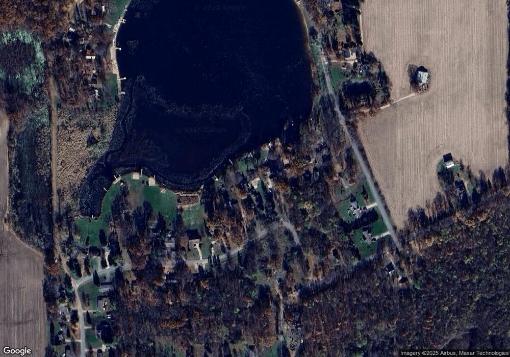
Map
Nearby Homes
- 43618 Carla Dr
- 43834 Eagle Lake Dr
- 0 Palmer Dr
- 0 70th Ave
- 58356 Cr 671
- 44850 Woodman Dr
- 38126 72nd Ave Unit b
- 38126 72nd Ave
- 60846 N Lakeshore Dr
- 73541 39th St
- 37111 Paw Rd
- 44702 B 56th Ave
- 1 Kasper Dr
- 58797 Territorial Rd
- 38347 County Road 374
- 35499 County Road 358
- 77199 M-51
- 600 W Michigan Ave
- Parcel A Territorial Rd
- 1 Cr 665
- 41560 E Bayshore Dr
- 41540 E Bayshore Dr
- 41602 E Bayshore Dr
- 64924 41st St
- 41630 E Bayshore Dr
- 41662 E Bayshore Dr
- 64878 41st St
- 64858 41st St
- 64858 41st St
- 41382 Paw Paw Rd
- 41700 E Bayshore Dr
- 65000 41st St
- 41482 Paw Paw Rd
- 41482 Paw Paw Rd
- 32 E Bayshore Dr
- 0 E Bayshore Dr
- 65098 41st St
- 41463 E Bayshore Dr
- 41748 E Bayshore Dr
- 41701 E Bayshore Dr