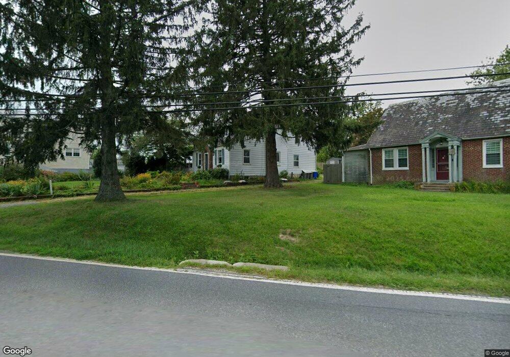
4157 Black Rock Rd Hampstead, MD 21074
Estimated Value: $304,000 - $375,000
Studio
2
Baths
1,608
Sq Ft
$215/Sq Ft
Est. Value
About This Home
This home is located at 4157 Black Rock Rd, Hampstead, MD 21074 and is currently estimated at $345,068, approximately $214 per square foot. 4157 Black Rock Rd is a home located in Carroll County with nearby schools including Spring Garden Elementary School, Shiloh Middle School, and Manchester Valley High School.
Ownership History
Date
Name
Owned For
Owner Type
Purchase Details
Closed on
Apr 15, 2005
Sold by
Snyder Michael D
Bought by
Carlson Diane P
Current Estimated Value
Home Financials for this Owner
Home Financials are based on the most recent Mortgage that was taken out on this home.
Original Mortgage
$85,000
Outstanding Balance
$45,194
Interest Rate
6.25%
Mortgage Type
Adjustable Rate Mortgage/ARM
Estimated Equity
$299,874
Purchase Details
Closed on
Jun 11, 2002
Sold by
Fales Robert Terry
Bought by
Snyder Michael D and Snyder Frances S
Purchase Details
Closed on
Jul 28, 1993
Sold by
Perry Charles O
Bought by
Fales Robert Terry
Create a Home Valuation Report for This Property
The Home Valuation Report is an in-depth analysis detailing your home's value as well as a comparison with similar homes in the area
Home Values in the Area
Average Home Value in this Area
Purchase History
| Date | Buyer | Sale Price | Title Company |
|---|---|---|---|
| Carlson Diane P | $240,000 | -- | |
| Snyder Michael D | $149,900 | -- | |
| Fales Robert Terry | $114,900 | -- |
Source: Public Records
Mortgage History
| Date | Status | Borrower | Loan Amount |
|---|---|---|---|
| Open | Carlson Diane P | $85,000 |
Source: Public Records
Tax History
| Year | Tax Paid | Tax Assessment Tax Assessment Total Assessment is a certain percentage of the fair market value that is determined by local assessors to be the total taxable value of land and additions on the property. | Land | Improvement |
|---|---|---|---|---|
| 2025 | $2,483 | $225,600 | $103,600 | $122,000 |
| 2024 | $2,364 | $212,233 | $0 | $0 |
| 2023 | $2,247 | $198,867 | $0 | $0 |
| 2022 | $2,143 | $185,500 | $81,800 | $103,700 |
| 2021 | $4,337 | $181,433 | $0 | $0 |
| 2020 | $2,063 | $177,367 | $0 | $0 |
| 2019 | $2,017 | $173,300 | $81,800 | $91,500 |
| 2018 | $2,000 | $173,300 | $81,800 | $91,500 |
| 2017 | $2,000 | $173,300 | $0 | $0 |
| 2016 | -- | $173,300 | $0 | $0 |
| 2015 | -- | $173,300 | $0 | $0 |
| 2014 | -- | $173,300 | $0 | $0 |
Source: Public Records
Map
Nearby Homes
- 1004 Scarlet Oak Ct Unit 1D
- 4138 Hillcrest Ave
- 806 Clearview Ave
- 920 N Houcksville Rd
- 4240 Crystal Ct Unit 2A
- 1151 Caton Rd
- 4220 Crystal Ct Unit 3D
- 4290 N Woods Trail
- 3992 Terrace Dr
- 930 Gaming Square
- 0 Hanover Pike Unit MDCR2024542
- 4210 Upper Beckleysville Rd
- 3860 Normandy Dr Unit 3D
- 4470 Woodsman Dr Unit 731
- 3840 Normandy Dr Unit 2A
- 3850 Normandy Dr Unit 3A
- 3830 Normandy Dr Unit 3A
- 1149 Gypsum Dr
- 3815 Sunnyfield Ct Unit 2C
- 3820 Normandy Dr Unit 2A
- 4155 Black Rock Rd
- 4159 Black Rock Rd
- 4156 Black Rock Rd
- 4158 Black Rock Rd
- 4154 Black Rock Rd
- 4160 Black Rock Rd
- 4152 Black Rock Rd
- 4162 Black Rock Rd
- 4150 Black Rock Rd
- 4200 Black Rock Rd
- 4146 Black Rock Rd
- 1115 S Main St
- 4202 Black Rock Rd
- 4201 Black Rock Rd
- 4107 Mott Ave
- 4142 Black Rock Rd
- 1111 S Main St
- 1105 S Main St
- 1103 S Main St
- 4204 Black Rock Rd
Your Personal Tour Guide
Ask me questions while you tour the home.