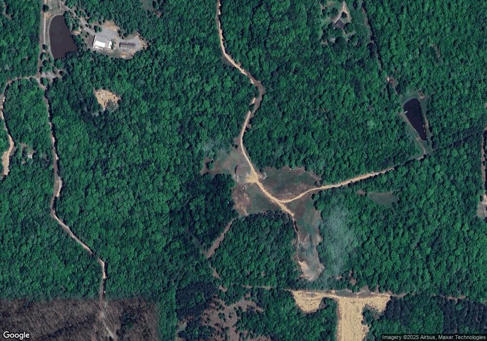
4159 Peeler Bend Rd Benton, AR 72019
Estimated Value: $468,000 - $617,000
--
Bed
--
Bath
3,920
Sq Ft
$142/Sq Ft
Est. Value
About This Home
This home is located at 4159 Peeler Bend Rd, Benton, AR 72019 and is currently estimated at $555,853, approximately $141 per square foot. 4159 Peeler Bend Rd is a home with nearby schools including Ringgold Elementary School, Benton Middle School, and Benton Junior High School.
Ownership History
Date
Name
Owned For
Owner Type
Purchase Details
Closed on
Feb 28, 2011
Bought by
Morrow
Current Estimated Value
Purchase Details
Closed on
Feb 2, 2011
Bought by
Morrow Morrow and Morrow Morrow
Purchase Details
Closed on
Jan 28, 2011
Bought by
Morrow Morrow and Morrow Morrow
Purchase Details
Closed on
Apr 6, 2000
Bought by
Naramore
Purchase Details
Closed on
Mar 24, 2000
Bought by
Landers
Purchase Details
Closed on
Jan 3, 1997
Bought by
Jester
Create a Home Valuation Report for This Property
The Home Valuation Report is an in-depth analysis detailing your home's value as well as a comparison with similar homes in the area
Home Values in the Area
Average Home Value in this Area
Purchase History
| Date | Buyer | Sale Price | Title Company |
|---|---|---|---|
| Morrow | -- | -- | |
| Morrow Morrow | $180,000 | -- | |
| Morrow Morrow | $180,000 | -- | |
| Morrow | -- | -- | |
| Naramore | $166,000 | -- | |
| Landers | $200,000 | -- | |
| Jester | $50,000 | -- |
Source: Public Records
Tax History Compared to Growth
Tax History
| Year | Tax Paid | Tax Assessment Tax Assessment Total Assessment is a certain percentage of the fair market value that is determined by local assessors to be the total taxable value of land and additions on the property. | Land | Improvement |
|---|---|---|---|---|
| 2025 | $4,175 | $91,136 | $15,800 | $75,336 |
| 2024 | $4,175 | $91,136 | $15,800 | $75,336 |
| 2023 | $3,664 | $91,136 | $15,800 | $75,336 |
| 2022 | $3,532 | $91,136 | $15,800 | $75,336 |
| 2021 | $3,351 | $70,360 | $8,400 | $61,960 |
| 2020 | $3,251 | $70,360 | $8,400 | $61,960 |
| 2019 | $3,251 | $70,360 | $8,400 | $61,960 |
| 2018 | $3,119 | $70,360 | $8,400 | $61,960 |
| 2017 | $2,961 | $70,360 | $8,400 | $61,960 |
| 2016 | $3,144 | $60,930 | $8,400 | $52,530 |
| 2015 | $3,144 | $60,930 | $8,400 | $52,530 |
| 2014 | $2,804 | $190 | $190 | $0 |
Source: Public Records
Map
Nearby Homes
- 2281 Lookout Mountain Rd
- 402 Demuth Ln
- 3550 Sam Claar Ln Unit (4301 Quapaw)
- 5826 W Jackman Trail
- 4713 W Jackman Trail
- 6300-6500 W Jackman Trail
- 5003 W Jackman Trail
- 1009 Heritage Way
- 208 King Unit 210
- 508 W Saline Cir
- 5399 Heritage Valley Dr
- 614 Swanee
- 1202 Meadows Dr
- 5812 & 5806 Highway 5
- 5806 Highway 5
- 5812 Highway 5 Unit 5806
- RC Raleigh Plan at Centennial Valley - The Grove
- RC Guthrie Plan at Centennial Valley - The Grove
- RC Bridgeport Plan at Centennial Valley - The Grove
- RC Keswick Plan at Centennial Valley - The Grove
- 200 Dusty Trail
- 4999 Brooke Cove
- 4901 Susan Trail
- 4713 Brooke Cove
- 5001 Southland Ln
- 0 Southland Ln
- 4902 Southland Ln
- 4223 Peeler Bend Rd
- 4201 Peeler Bend Rd Unit B
- 4201 Peeler Bend Rd
- 4169 Peeler Bend Rd
- 4401 Peeler Bend Rd
- 0 Dusty Ridge Rd
- 0 Dusty Ridge
- 1800 Dusty Ridge
- 4501 Susan Trail
- 4601 Susan Trail
- 3897 Peeler Bend Rd
- 4785 Southland Ln
- 4623 Peeler Bend Rd
