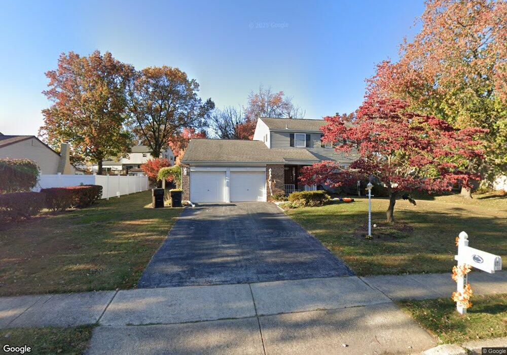
416 Abrams Mill Rd King of Prussia, PA 19406
Estimated Value: $642,097 - $728,000
4
Beds
3
Baths
2,878
Sq Ft
$240/Sq Ft
Est. Value
About This Home
This home is located at 416 Abrams Mill Rd, King of Prussia, PA 19406 and is currently estimated at $692,024, approximately $240 per square foot. 416 Abrams Mill Rd is a home located in Montgomery County with nearby schools including Caley Elementary School, Upper Merion Middle School, and Upper Merion High School.
Ownership History
Date
Name
Owned For
Owner Type
Purchase Details
Closed on
Nov 23, 2011
Sold by
Bornstad Ronald T and Bornstad Nina A
Bought by
Adams Elisabeth and Adams Gerald
Current Estimated Value
Home Financials for this Owner
Home Financials are based on the most recent Mortgage that was taken out on this home.
Original Mortgage
$240,000
Outstanding Balance
$164,209
Interest Rate
4.09%
Estimated Equity
$527,815
Create a Home Valuation Report for This Property
The Home Valuation Report is an in-depth analysis detailing your home's value as well as a comparison with similar homes in the area
Home Values in the Area
Average Home Value in this Area
Purchase History
| Date | Buyer | Sale Price | Title Company |
|---|---|---|---|
| Adams Elisabeth | $400,000 | None Available |
Source: Public Records
Mortgage History
| Date | Status | Borrower | Loan Amount |
|---|---|---|---|
| Open | Adams Elisabeth | $240,000 |
Source: Public Records
Tax History Compared to Growth
Tax History
| Year | Tax Paid | Tax Assessment Tax Assessment Total Assessment is a certain percentage of the fair market value that is determined by local assessors to be the total taxable value of land and additions on the property. | Land | Improvement |
|---|---|---|---|---|
| 2025 | $5,819 | $188,820 | -- | -- |
| 2024 | $5,819 | $188,820 | -- | -- |
| 2023 | $5,613 | $188,820 | $0 | $0 |
| 2022 | $5,372 | $188,820 | $0 | $0 |
| 2021 | $5,206 | $188,820 | $0 | $0 |
| 2020 | $4,975 | $188,820 | $0 | $0 |
| 2019 | $4,890 | $188,820 | $0 | $0 |
| 2018 | $4,891 | $188,820 | $0 | $0 |
| 2017 | $4,714 | $188,820 | $0 | $0 |
| 2016 | $4,641 | $188,820 | $0 | $0 |
| 2015 | $4,470 | $188,820 | $0 | $0 |
| 2014 | $4,470 | $188,820 | $0 | $0 |
Source: Public Records
Map
Nearby Homes
- 735 Champlain Dr
- 548 Susan Dr
- 348 Glenn Rose Cir
- 243 Jasper Rd
- 709 N Henderson Rd
- 245 Chapel Ln Unit 80B
- 251 Chapel Ln Unit 83B
- 243 Chapel Ln Unit 79A
- 610 Charles Dr
- 391 Prince Frederick St
- 143 Riversedge Dr Unit CONDO 143
- 171 Redwood Rd
- 2012 Yorktown S
- 121 Woodstream Dr Unit CONDO 121
- 1914 Yorktown S
- 2017 Yorktown S
- 108 Anderson Rd
- 570 Canterbury Rd
- 167 Woodstream Dr Unit CONDO 167
- 227 Crossfield Rd
- 420 Abrams Mill Rd
- 412 Abrams Mill Rd
- 475 Lexington Dr
- 477 Lexington Dr
- 424 Abrams Mill Rd
- 473 Lexington Dr
- 435 Abrams Mill Rd
- 752 Champlain Dr
- 431 Abrams Mill Rd
- 479 Lexington Dr
- 439 Abrams Mill Rd
- 750 Champlain Dr
- 427 Abrams Mill Rd
- 443 Abrams Mill Rd
- 748 Champlain Dr
- 428 Abrams Mill Rd
- 481 Lexington Dr
- 423 Abrams Mill Rd
- 474 Lexington Dr
- 447 Abrams Mill Rd